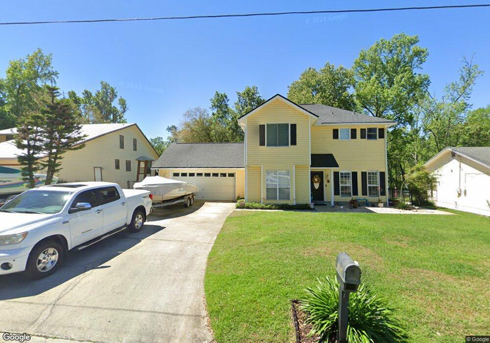
2014 Cornell Rd Middleburg, FL 32068
Middleburg AreaEstimated Value: $324,510 - $530,000
About This Home
This home is located at 2014 Cornell Rd, Middleburg, FL 32068 and is currently estimated at $408,378, approximately $252 per square foot. 2014 Cornell Rd is a home located in Clay County with nearby schools including Middleburg Elementary School, Middleburg High School, and Lake Asbury Junior High School.
Ownership History
We collect this data history from publicly available records. To have your information removed, we recommend requesting removal directly through your county’s website.
Purchase Details
Home Financials for this Owner
Home Financials are based on the most recent Mortgage that was taken out on this home.Home Values in the Area
Average Home Value in this Area
Purchase History
We collect this data history from publicly available records. To have your information removed, we recommend requesting removal directly through your county’s website.
| Date | Buyer | Sale Price | Title Company |
|---|---|---|---|
| $220,000 | Realty Title Svcs Ne Fl Inc |
Mortgage History
We collect this data history from publicly available records. To have your information removed, we recommend requesting removal directly through your county’s website.
| Date | Status | Borrower | Loan Amount |
|---|---|---|---|
| Open | $124,000 | ||
| Closed | $143,000 | ||
| Closed | $170,000 | ||
| Previous Owner | $206,000 | ||
| Previous Owner | $10,000 |
Tax History
We collect this data history from publicly available records. To have your information removed, we recommend requesting removal directly through your county’s website.
| Year | Tax Paid | Tax Assessment Tax Assessment Total Assessment is a certain percentage of the fair market value that is determined by local assessors to be the total taxable value of land and additions on the property. | Land | Improvement |
|---|---|---|---|---|
| 2025 | $1,873 | $169,157 | ||
| 2024 | $2,359 | $164,390 | ||
| 2023 | $2,359 | $159,602 | $0 | $0 |
| 2022 | $2,178 | $154,954 | $0 | $0 |
| 2021 | $1,959 | $150,441 | $0 | $0 |
| 2020 | $2,106 | $148,364 | $0 | $0 |
| 2019 | $2,075 | $145,029 | $0 | $0 |
| 2018 | $1,918 | $142,325 | $0 | $0 |
| 2017 | $1,907 | $139,398 | $0 | $0 |
| 2016 | $1,902 | $136,531 | $0 | $0 |
| 2015 | $1,949 | $135,582 | $0 | $0 |
| 2014 | $1,905 | $134,506 | $0 | $0 |
Map
- 2139 2143 Charter Pointe Way
- 2051 Cornell Rd
- 2060 Cornell Rd
- 3860 Magnolia St
- 0 Main St Unit 2099304
- 3716 Main St
- 2246 Palisade Point
- 2258 Palisade Point
- 2326 North St
- 2254 Brannings Sawmill Ct
- 2248 Brannings Sawmill Ct
- 2476 Jennings Farm Dr
- 2238 Brannings Sawmill Ct
- 2469 Jennings Farm Dr
- 2227 Palisade Point
- 2140 Tom Thumb Rd
- 3775 Forest Dr
- 2418 Jennings Farm Dr
- 3972 Gareys Ferry Way
- 3983 Gareys Ferry Way
- 2015 Cornell Rd
- 2019 Cornell Rd
- 2011 Cornell Rd
- 2023 Cornell Rd
- 2007 Cornell Rd
- 2012 Cornell Rd
- 2018 Cornell Rd
- 2100 Spinnaker Ct
- 2003 Cornell Rd
- 0 Spinnaker Ct
- 2006 Cornell Rd
- 2026 Cornell Rd
- 1999 Cornell Rd
- 2002 Cornell Rd
- 1977 Cornell Rd
- 2008 Cornell Rd
- 2113 Spinnaker Ct
- 1981 Cornell Rd
- 1985 Cornell Rd
- 1991 Cornell Rd
Ask me questions while you tour the home.