2014 Hampton St Unit 1111 Kill Devil Hills, NC 27948
Estimated Value: $486,000 - $507,000
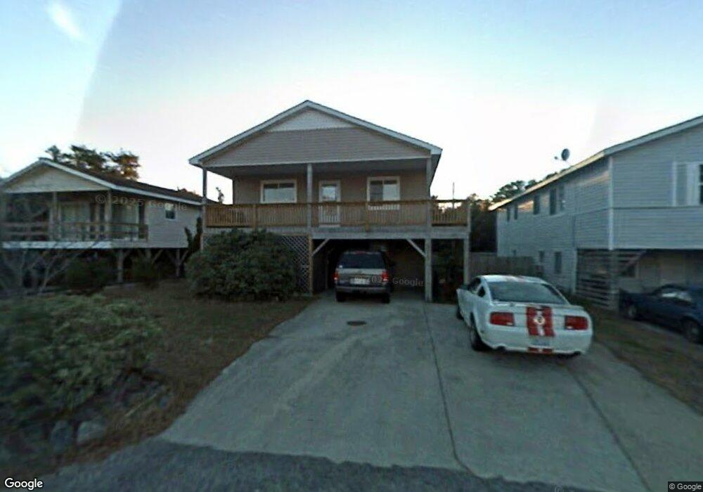
About This Home
This home is located at 2014 Hampton St Unit 1111, Kill Devil Hills, NC 27948 and is currently estimated at $497,279, approximately $335 per square foot. 2014 Hampton St Unit 1111 is a home located in Dare County with nearby schools including Nags Head Elementary School, First Flight Middle School, and First Flight High School.
Ownership History
We collect this data history from publicly available records. To have your information removed, we recommend requesting removal directly through your county’s website.
Purchase Details
Home Financials for this Owner
Home Financials are based on the most recent Mortgage that was taken out on this home.Purchase Details
Home Financials for this Owner
Home Financials are based on the most recent Mortgage that was taken out on this home.Home Values in the Area
Average Home Value in this Area
Purchase History
We collect this data history from publicly available records. To have your information removed, we recommend requesting removal directly through your county’s website.
| Date | Buyer | Sale Price | Title Company |
|---|---|---|---|
| $215,000 | None Available | ||
| $24,200 | None Available |
Mortgage History
We collect this data history from publicly available records. To have your information removed, we recommend requesting removal directly through your county’s website.
| Date | Status | Borrower | Loan Amount |
|---|---|---|---|
| Open | $172,000 | ||
| Previous Owner | $229,900 |
Tax History
We collect this data history from publicly available records. To have your information removed, we recommend requesting removal directly through your county’s website.
| Year | Tax Paid | Tax Assessment Tax Assessment Total Assessment is a certain percentage of the fair market value that is determined by local assessors to be the total taxable value of land and additions on the property. | Land | Improvement |
|---|---|---|---|---|
| 2025 | $2,557 | $470,700 | $206,300 | $264,400 |
| 2024 | $2,022 | $267,700 | $90,000 | $177,700 |
| 2023 | $2,022 | $267,700 | $90,000 | $177,700 |
| 2022 | $1,929 | $267,700 | $90,000 | $177,700 |
| 2021 | $1,940 | $269,300 | $90,000 | $179,300 |
| 2020 | $1,940 | $269,300 | $90,000 | $179,300 |
| 2019 | $1,534 | $176,300 | $61,300 | $115,000 |
| 2018 | $1,500 | $176,300 | $61,300 | $115,000 |
| 2017 | $1,500 | $176,300 | $61,300 | $115,000 |
| 2016 | $1,430 | $176,300 | $61,300 | $115,000 |
| 2014 | $1,377 | $176,300 | $61,300 | $115,000 |
Map
- 2011 Portsmouth St Unit 872
- 1100 W Durham St Unit lot 697
- 2033 Yorktown St Unit Lot 1342
- 1208 W 5th St Unit 5
- 1208 W 4th St Unit 4
- 500 W 5th St Unit 16
- 2028 Smithfield St Unit Lot 1301
- 702 W Avalon Dr Unit 206
- 504 Suffolk St Unit Lot917
- 504 Suffolk St
- 708 W Sportsman Dr Unit Lot 229
- 309 W Durham St
- 309 W Durham St Unit Lot 626
- 0 W Bay Dr Unit Lot3Lot3
- 509 W Palmetto St Unit Lot 13
- 1812 Creek St Unit 10
- 2031 Norfolk St Unit Lot 776
- 535 W Eden St
- 535 W Eden St Unit Lot 3,4
- 706 W 3rd St Unit Lot 18
- 2010 Hampton St Unit 1107
- 2010 Hampton St
- 2008 Hampton St Unit 1105
- 2008 Hampton St
- 2012 Hampton St
- 2006 Hampton St
- 2011 Portsmouth St
- 2014 Hampton St
- 2013 Portsmouth St
- 2015 Portsmouth St
- 2004 Hampton St
- 2011 Hampton St
- 2016 Hampton St Unit 1113
- 2016 Hampton St
- 2009 Hampton St
- 2013 Hampton St
- 2005 Portsmouth St
- 2007 Hampton St
- 2015 Hampton St
- 2017 Portsmouth St
Ask me questions while you tour the home.