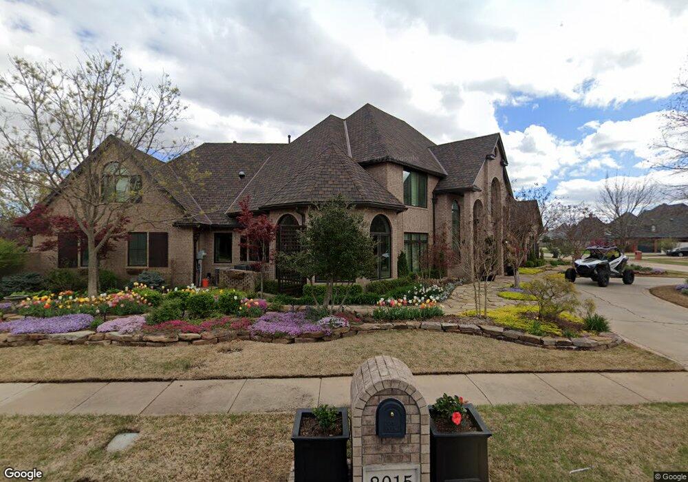
2015 Brookhaven Blvd Norman, OK 73072
Northwest Norman NeighborhoodEstimated Value: $632,000 - $812,000
4
Beds
5
Baths
4,267
Sq Ft
$170/Sq Ft
Est. Value
About This Home
This home is located at 2015 Brookhaven Blvd, Norman, OK 73072 and is currently estimated at $725,271, approximately $169 per square foot. 2015 Brookhaven Blvd is a home located in Cleveland County with nearby schools including Cleveland Elementary School, Whittier Middle School, and Norman North High School.
Ownership History
Date
Name
Owned For
Owner Type
Purchase Details
Closed on
Mar 8, 2012
Sold by
Junction Properties Llc
Bought by
Burleson Phillip A and Burleson Julia E
Current Estimated Value
Home Financials for this Owner
Home Financials are based on the most recent Mortgage that was taken out on this home.
Original Mortgage
$259,200
Outstanding Balance
$24,428
Interest Rate
4.05%
Mortgage Type
New Conventional
Estimated Equity
$700,843
Purchase Details
Closed on
Nov 1, 2011
Sold by
Vanronk Suzanne M
Bought by
Junction Properties Llc
Create a Home Valuation Report for This Property
The Home Valuation Report is an in-depth analysis detailing your home's value as well as a comparison with similar homes in the area
Home Values in the Area
Average Home Value in this Area
Purchase History
| Date | Buyer | Sale Price | Title Company |
|---|---|---|---|
| Burleson Phillip A | $324,000 | Fatco | |
| Junction Properties Llc | $278,000 | None Available |
Source: Public Records
Mortgage History
| Date | Status | Borrower | Loan Amount |
|---|---|---|---|
| Open | Burleson Phillip A | $259,200 |
Source: Public Records
Tax History
| Year | Tax Paid | Tax Assessment Tax Assessment Total Assessment is a certain percentage of the fair market value that is determined by local assessors to be the total taxable value of land and additions on the property. | Land | Improvement |
|---|---|---|---|---|
| 2025 | $6,784 | $57,537 | $8,174 | $49,363 |
| 2024 | $6,572 | $55,861 | $7,672 | $48,189 |
| 2023 | $6,392 | $54,234 | $8,418 | $45,816 |
| 2022 | $5,949 | $52,654 | $5,400 | $47,254 |
| 2021 | $6,271 | $52,654 | $5,400 | $47,254 |
| 2020 | $6,137 | $52,654 | $5,400 | $47,254 |
| 2019 | $6,241 | $52,654 | $5,400 | $47,254 |
| 2018 | $6,053 | $52,655 | $5,400 | $47,255 |
| 2017 | $6,120 | $52,655 | $0 | $0 |
| 2016 | $6,221 | $52,655 | $5,400 | $47,255 |
| 2015 | $5,967 | $52,085 | $5,685 | $46,400 |
| 2014 | $5,825 | $50,386 | $5,685 | $44,701 |
Source: Public Records
Map
Nearby Homes
- 2105 Wyckham Place
- 3805 Danfield Ln
- 3801 Brenton Cir
- 3805 Brenton Cir
- 1822 Brookhaven Blvd
- 3933 Charing Cross Ct
- 0 W Rock Creek Rd
- 2611 Brixton Dr
- 2603 Brixton Dr
- 2600 Brixton Dr
- 3903 Northridge Rd
- 3805 Annalane Dr
- 2020 Grassland Dr
- 4412 Brookfield Dr
- 4420 Trophy Dr
- 4370 Covington Way
- 3713 Windover Dr
- 3424 Justice Ct
- 2520 Highbury Dr
- 2512 Highbury Dr
- 1917 Danfield Dr
- 1920 Rosebrook
- 1916 Rosebrook
- 2016 Brookhaven Blvd
- 1913 Danfield Dr
- 2020 Brookhaven Blvd
- 1920 Danfield Dr
- 1916 Danfield Dr
- 2000 Danfield Dr
- 2100 Brookhaven Blvd
- 2004 Danfield Dr
- 2013 Danfield Dr
- 1909 Danfield Dr
- 1912 Danfield Dr
- 2009 Brookhaven Blvd
- 2101 Brookhaven Blvd
- 2008 Danfield Dr
- 1913 Rosebrook Ct
- 1917 Rosebrook
- 1904 Rosebrook Ct
Your Personal Tour Guide
Ask me questions while you tour the home.