Estimated Value: $174,000 - $186,000
About This Home
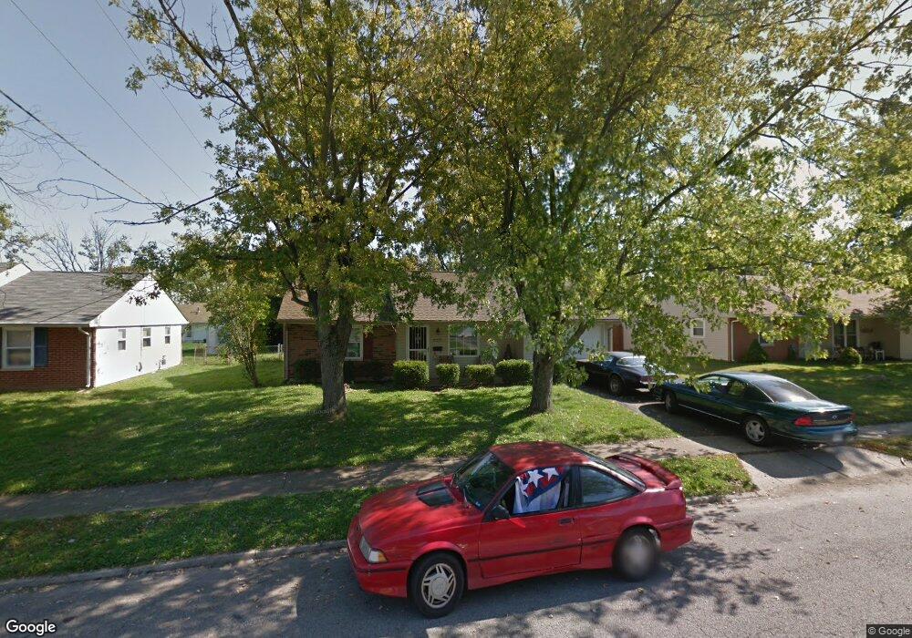
This home is located at 2015 Commonwealth Dr, Xenia, OH 45385 and is currently estimated at $180,740, approximately $171 per square foot. 2015 Commonwealth Dr is a home located in Greene County with nearby schools including Xenia High School, Summit Academy Community School for Alternative Learners - Xenia, and Legacy Christian Academy.
Ownership History
We collect this data history from publicly available records. To have your information removed, we recommend requesting removal directly through your county’s website.
Purchase Details
Purchase Details
Purchase Details
Purchase Details
Home Financials for this Owner
Home Financials are based on the most recent Mortgage that was taken out on this home.Purchase Details
Home Financials for this Owner
Home Financials are based on the most recent Mortgage that was taken out on this home.Purchase Details
Purchase Details
Home Financials for this Owner
Home Financials are based on the most recent Mortgage that was taken out on this home.Home Values in the Area
Average Home Value in this Area
Purchase History
We collect this data history from publicly available records. To have your information removed, we recommend requesting removal directly through your county’s website.
| Date | Buyer | Sale Price | Title Company |
|---|---|---|---|
| -- | None Available | ||
| $51,100 | Accutitle Agency Inc | ||
| $64,000 | None Available | ||
| $102,900 | None Available | ||
| $102,900 | -- | ||
| $70,000 | -- | ||
| $80,000 | -- |
Mortgage History
We collect this data history from publicly available records. To have your information removed, we recommend requesting removal directly through your county’s website.
| Date | Status | Borrower | Loan Amount |
|---|---|---|---|
| Previous Owner | $104,500 | ||
| Previous Owner | $90,000 | ||
| Previous Owner | $59,850 |
Tax History
We collect this data history from publicly available records. To have your information removed, we recommend requesting removal directly through your county’s website.
| Year | Tax Paid | Tax Assessment Tax Assessment Total Assessment is a certain percentage of the fair market value that is determined by local assessors to be the total taxable value of land and additions on the property. | Land | Improvement |
|---|---|---|---|---|
| 2025 | $1,370 | $42,320 | $10,270 | $32,050 |
| 2024 | $1,370 | $42,320 | $10,270 | $32,050 |
| 2023 | $1,356 | $42,320 | $10,270 | $32,050 |
| 2022 | $1,036 | $29,930 | $6,040 | $23,890 |
| 2021 | $1,050 | $29,930 | $6,040 | $23,890 |
| 2020 | $1,420 | $29,930 | $6,040 | $23,890 |
| 2019 | $1,191 | $23,630 | $6,160 | $17,470 |
| 2018 | $1,195 | $23,630 | $6,160 | $17,470 |
| 2017 | $1,120 | $23,630 | $6,160 | $17,470 |
| 2016 | $1,120 | $21,160 | $6,160 | $15,000 |
| 2015 | $1,123 | $21,160 | $6,160 | $15,000 |
| 2014 | $1,076 | $21,160 | $6,160 | $15,000 |
Map
- 1955 Roxbury Dr
- 1737 Arapaho Dr
- 2216 Minnesota Dr
- 837 Colorado Dr
- 0 Berkshire Dr Unit 949217
- 1291 Commonwealth Dr
- 1299 Glen Kegley Dr
- 2279 Alabama Dr
- 1689 Sioux Dr
- 1632 Otoole Dr
- 1607 Otoole Dr
- 2746 Jenny Marie Dr
- 2780 N Barnhill Place
- 568 Georgia Dr
- 2102 High Wheel Dr
- 2276 Tandem Dr
- 920 Wright Cycle Blvd
- 926 Wright Cycle Blvd
- 1480 Oshaughnesy Dr
- 1407 Navajo Dr
- 2027 Commonwealth Dr
- 2001 Commonwealth Dr
- 2014 Drummond Dr
- 2028 Drummond Dr
- 2000 Drummond Dr
- 2041 Commonwealth Dr
- 2014 Commonwealth Dr
- 2000 Commonwealth Dr
- 2042 Drummond Dr
- 2028 Commonwealth Dr
- 1986 Commonwealth Dr
- 2055 Commonwealth Dr
- 2042 Commonwealth Dr
- 1965 Commonwealth Dr
- 2070 Wimbledon Dr
- 2056 Drummond Dr
- 1970 Commonwealth Dr
- 2060 Wimbledon Dr
- 1989 Roxbury Dr
- 1977 Roxbury Dr
Ask me questions while you tour the home.