J
Seller's Agent in 2025
Jose D Quijano
Virtual Properties Realty
(706) 254-5027
49 Total Sales
Estimated Value: $276,000 - $341,000
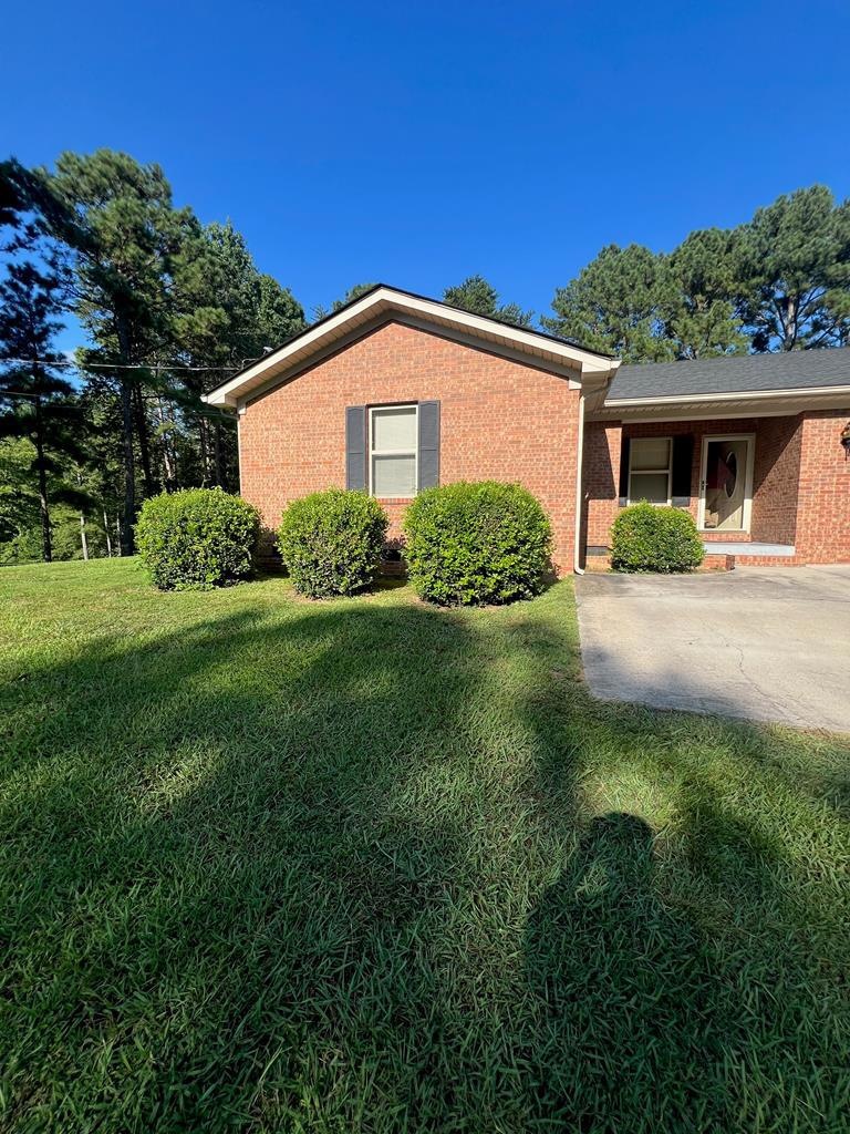
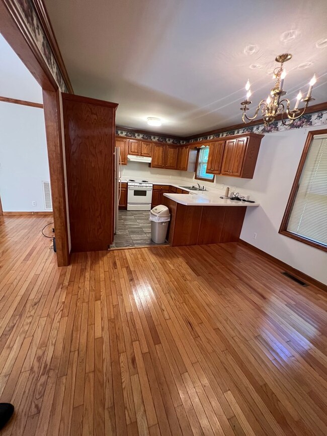
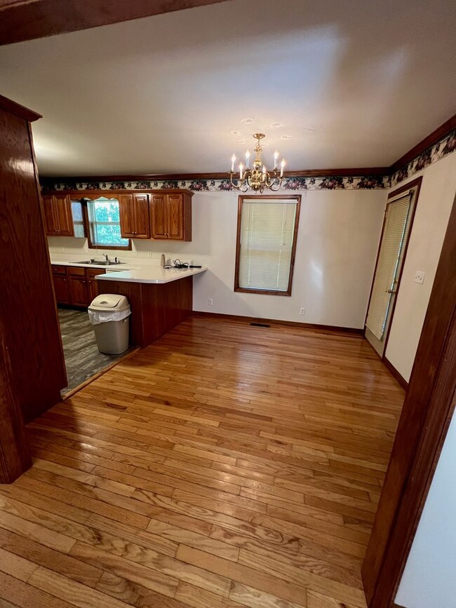
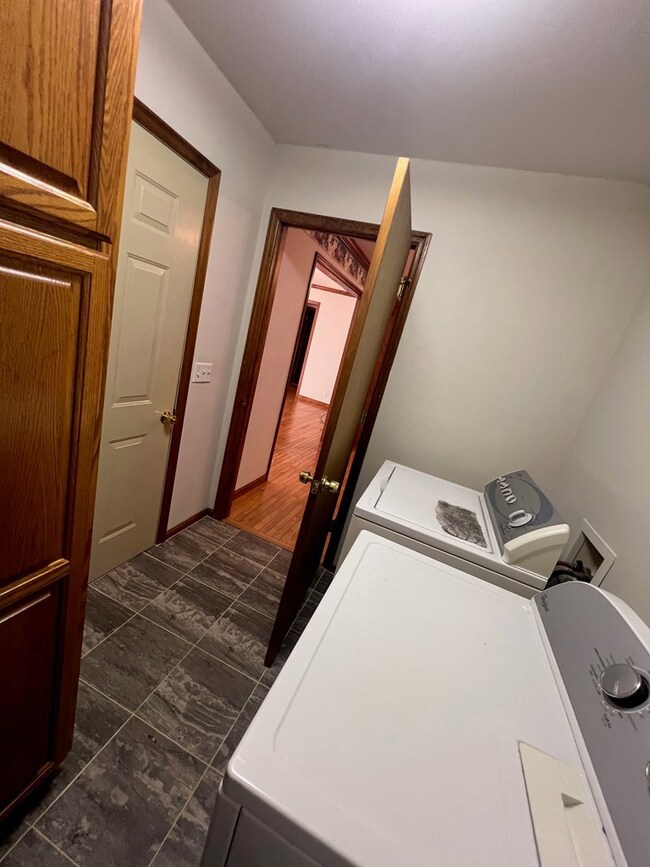
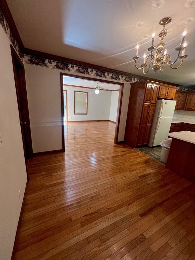
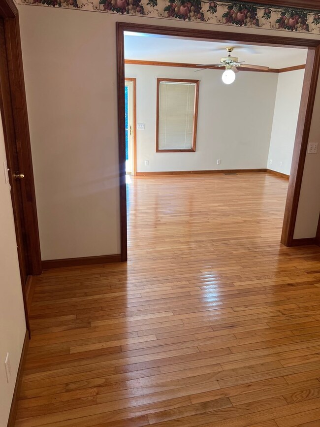
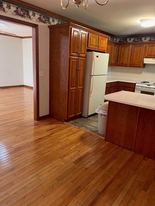
Welcome to this all-sided Brick condo style one level apartment unit. Super clean, well kept up apartment unit. Its floor plan is spaciousthroughout the bedrooms and other rooms. The living area feature high quality original hardwoods! The master bedroom is huge and it features its own master bathroom and walk in closet! Sunroom available for use! Lots of Beautifully kept up cabinet space in the kitchen and throughout the apartment unit. Located in a very peaceful quiet area, perfect to get the quiet retirement feeling. The unit is located in cul-de-sac and little to no traffic ever crosses. Very good street in terms of the quality of homes surrounding it. The backyard and front yard is super spacious perfect for your family gatherings or to have space for your kids etc.
Last Agent to Sell the Property
Virtual Properties Realty Brokerage Phone: 7704955050 License #401992 Listed on: 07/25/2025

We collect this data history from publicly available records. To have your information removed, we recommend requesting removal directly through your county’s website.
| Date | Buyer | Sale Price | Title Company |
|---|---|---|---|
| Bonds Tysean | -- | None Listed On Document | |
| Bonds Tysean | -- | None Listed On Document | |
| Henderson Sonja | -- | None Listed On Document | |
| Bonds Lamar Charles | -- | -- | |
| Bonds Gladys | -- | -- | |
| -- | $20,000 | -- |
| Date | Event | Price | List to Sale | Price per Sq Ft |
|---|---|---|---|---|
| 08/08/2025 08/08/25 | Sold | $1,600 | +25.5% | $1 / Sq Ft |
| 07/25/2025 07/25/25 | For Sale | $1,275 | -- | $1 / Sq Ft |
| Year | Tax Paid | Tax Assessment Tax Assessment Total Assessment is a certain percentage of the fair market value that is determined by local assessors to be the total taxable value of land and additions on the property. | Land | Improvement |
|---|---|---|---|---|
| 2025 | $403 | $127,055 | $7,000 | $120,055 |
| 2024 | $403 | $127,055 | $7,000 | $120,055 |
| 2023 | $2,474 | $90,358 | $3,200 | $87,158 |
| 2022 | $1,648 | $64,412 | $3,200 | $61,212 |
| 2021 | $1,648 | $64,412 | $3,200 | $61,212 |
| 2020 | $1,692 | $64,412 | $3,200 | $61,212 |
| 2019 | $1,715 | $64,412 | $3,200 | $61,212 |
| 2018 | $2,029 | $64,412 | $3,200 | $61,212 |
| 2017 | $2,030 | $64,412 | $3,200 | $61,212 |
| 2016 | $1,747 | $57,622 | $4,410 | $53,212 |
| 2014 | $303 | $57,622 | $4,410 | $53,212 |
| 2013 | -- | $57,621 | $4,410 | $53,211 |
J
Seller's Agent in 2025
Jose D Quijano
Virtual Properties Realty
(706) 254-5027
49 Total Sales
Source: Carpet Capital Association of REALTORS®
MLS Number: 130565
APN: 12-282-06-058
Ask me questions while you tour the home.