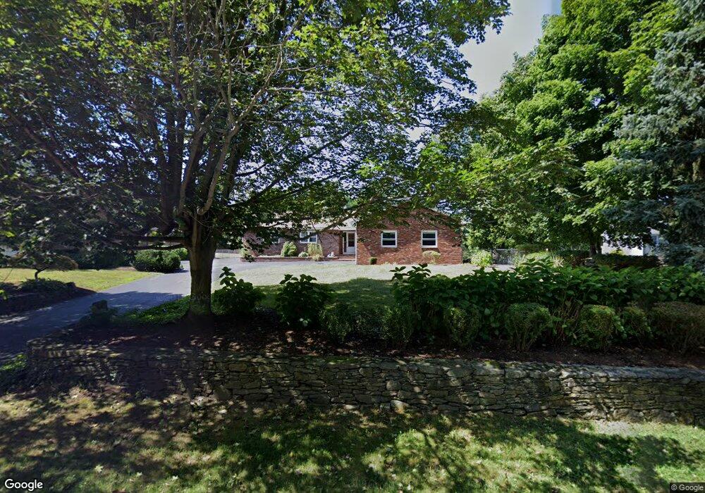
2015 Read St Somerset, MA 02726
Brayton Point NeighborhoodEstimated Value: $540,000 - $839,000
3
Beds
2
Baths
1,973
Sq Ft
$341/Sq Ft
Est. Value
About This Home
This home is located at 2015 Read St, Somerset, MA 02726 and is currently estimated at $673,158, approximately $341 per square foot. 2015 Read St is a home located in Bristol County with nearby schools including South Elementary School, Somerset Middle School, and Swansea Wood School.
Ownership History
Date
Name
Owned For
Owner Type
Purchase Details
Closed on
Dec 3, 1984
Bought by
Demelo Paul G
Current Estimated Value
Create a Home Valuation Report for This Property
The Home Valuation Report is an in-depth analysis detailing your home's value as well as a comparison with similar homes in the area
Home Values in the Area
Average Home Value in this Area
Purchase History
We collect this data history from publicly available records. To have your information removed, we recommend requesting removal directly through your county’s website.
| Date | Buyer | Sale Price | Title Company |
|---|---|---|---|
| Demelo Paul G | -- | -- |
Source: Public Records
Mortgage History
We collect this data history from publicly available records. To have your information removed, we recommend requesting removal directly through your county’s website.
| Date | Status | Borrower | Loan Amount |
|---|---|---|---|
| Open | Demelo Paul G | $50,000 | |
| Closed | Demelo Paul G | $50,000 | |
| Closed | Demelo Paul G | $73,000 |
Source: Public Records
Tax History
| Year | Tax Paid | Tax Assessment Tax Assessment Total Assessment is a certain percentage of the fair market value that is determined by local assessors to be the total taxable value of land and additions on the property. | Land | Improvement |
|---|---|---|---|---|
| 2025 | $9,188 | $690,800 | $198,400 | $492,400 |
| 2024 | $8,573 | $670,300 | $198,400 | $471,900 |
| 2023 | $7,640 | $602,500 | $180,800 | $421,700 |
| 2022 | $7,212 | $535,700 | $157,900 | $377,800 |
| 2021 | $7,212 | $491,300 | $144,100 | $347,200 |
| 2020 | $6,975 | $458,300 | $144,100 | $314,200 |
| 2019 | $8,276 | $453,500 | $167,100 | $286,400 |
| 2018 | $7,230 | $426,300 | $167,100 | $259,200 |
| 2017 | $7,186 | $413,000 | $167,100 | $245,900 |
| 2016 | $7,232 | $413,000 | $167,100 | $245,900 |
| 2015 | $7,259 | $418,400 | $190,500 | $227,900 |
| 2014 | $10,225 | $423,400 | $190,500 | $232,900 |
Source: Public Records
Map
Nearby Homes
- 94 Valley Rd
- 86 Elm St
- 15 James Birch Ln
- 992 Lees River Ave
- 960 Lees River Ave
- 67 Montgomery Rd
- 0 Hortonville Rd Unit 73464143
- 160 Sherman Rd
- 33 Rhinecliffe Rd
- 70 River Rd
- 52 Sheraton Ave
- 63 Eschol St
- 0 Milne Ave (Ns)
- 118 Wilbur Ave
- 4 Merton St
- 19 Keller Ave
- 0 Brown St
- 28 Brown St
- 0 Bark St Unit 1342599
- 23 Pine St
Your Personal Tour Guide
Ask me questions while you tour the home.