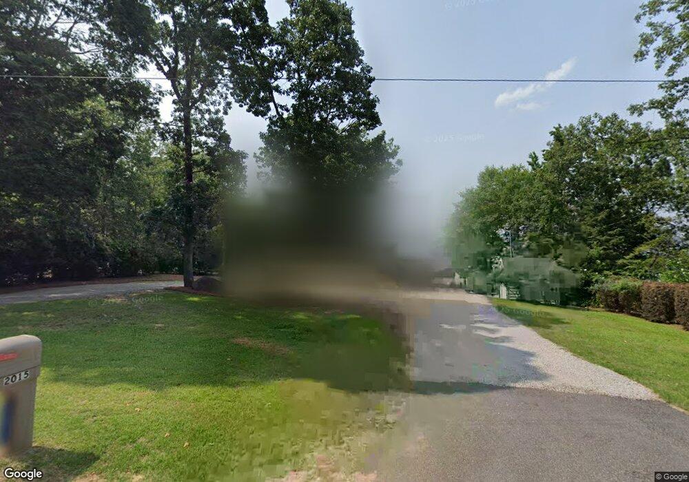
2015 Shull Ave Gilbert, SC 29054
Estimated Value: $879,000 - $1,081,000
3
Beds
3
Baths
2,316
Sq Ft
$416/Sq Ft
Est. Value
About This Home
This home is located at 2015 Shull Ave, Gilbert, SC 29054 and is currently estimated at $962,864, approximately $415 per square foot. 2015 Shull Ave is a home located in Lexington County with nearby schools including Centerville Elementary School, Gilbert Middle School, and Gilbert High School.
Ownership History
Date
Name
Owned For
Owner Type
Purchase Details
Closed on
Oct 4, 2017
Sold by
Luce Mary F and Luce William M
Bought by
Luce Mary F and Luce William M
Current Estimated Value
Purchase Details
Closed on
Nov 9, 2012
Sold by
Duncan Todd and Duncan Rhonda
Bought by
Luce William M and Luce Mary F
Home Financials for this Owner
Home Financials are based on the most recent Mortgage that was taken out on this home.
Original Mortgage
$417,000
Outstanding Balance
$74,237
Interest Rate
3.43%
Mortgage Type
Future Advance Clause Open End Mortgage
Estimated Equity
$888,627
Create a Home Valuation Report for This Property
The Home Valuation Report is an in-depth analysis detailing your home's value as well as a comparison with similar homes in the area
Home Values in the Area
Average Home Value in this Area
Purchase History
We collect this data history from publicly available records. To have your information removed, we recommend requesting removal directly through your county’s website.
| Date | Buyer | Sale Price | Title Company |
|---|---|---|---|
| Luce Mary F | -- | None Available | |
| Luce William M | $563,000 | -- |
Source: Public Records
Mortgage History
We collect this data history from publicly available records. To have your information removed, we recommend requesting removal directly through your county’s website.
| Date | Status | Borrower | Loan Amount |
|---|---|---|---|
| Open | Luce William M | $417,000 |
Source: Public Records
Tax History
| Year | Tax Paid | Tax Assessment Tax Assessment Total Assessment is a certain percentage of the fair market value that is determined by local assessors to be the total taxable value of land and additions on the property. | Land | Improvement |
|---|---|---|---|---|
| 2024 | $2,921 | $20,362 | $10,800 | $9,562 |
| 2023 | $2,617 | $20,362 | $10,800 | $9,562 |
| 2022 | $3,031 | $20,362 | $10,800 | $9,562 |
| 2020 | $3,109 | $20,362 | $10,800 | $9,562 |
| 2019 | $3,034 | $19,523 | $10,080 | $9,443 |
| 2018 | $2,978 | $19,523 | $10,080 | $9,443 |
| 2017 | $2,889 | $19,523 | $10,080 | $9,443 |
| 2016 | $2,863 | $19,523 | $10,080 | $9,443 |
| 2014 | $3,037 | $21,652 | $12,240 | $9,412 |
| 2013 | -- | $21,650 | $12,240 | $9,410 |
Source: Public Records
Map
Nearby Homes
- 180 Lillian St
- 1464 Bombing Range Rd
- 1459 Bombing Range Rd
- 1223 Shull Island Rd
- 1145 Indian Summer Point
- 1305 Rock Island Rd
- 2056 Amicks Ferry Rd
- 1148 Shull Island Rd
- 132 Magnolia Key Dr
- 116 Aloha Ct
- 120 Magnolia Key Dr
- 115 Pointe Overlook Dr
- 100 Pointe Overlook Dr
- 404 Jasmine Key Ln
- 118 Club Ct
- 309 Holly Key Ln
- 124 Bowyer Ln
- 112 Bay Pointe Dr
- 212 Bays End Ct
- 413 Oxenbridge Way
Your Personal Tour Guide
Ask me questions while you tour the home.