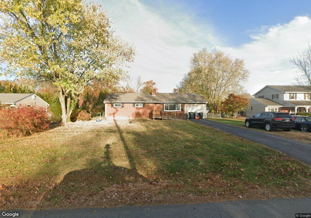
20152 Broad Run Dr Sterling, VA 20165
Estimated Value: $622,000 - $680,334
3
Beds
2
Baths
1,008
Sq Ft
$645/Sq Ft
Est. Value
About This Home
This home is located at 20152 Broad Run Dr, Sterling, VA 20165 and is currently estimated at $649,834, approximately $644 per square foot. 20152 Broad Run Dr is a home located in Loudoun County with nearby schools including Countryside Elementary School, River Bend Middle School, and Potomac Falls High School.
Ownership History
Date
Name
Owned For
Owner Type
Purchase Details
Closed on
Aug 29, 2025
Sold by
Reich Keith Allen
Bought by
Keith Allen Reich Trust and Reich
Current Estimated Value
Purchase Details
Closed on
Jun 22, 2011
Sold by
Jefferson Intl Investments Llc
Bought by
Reich Keith A
Home Financials for this Owner
Home Financials are based on the most recent Mortgage that was taken out on this home.
Original Mortgage
$280,653
Interest Rate
4.63%
Mortgage Type
FHA
Purchase Details
Closed on
Jul 23, 2010
Sold by
Commonwealth Trustees Llc Tr
Bought by
Jefferson Intl Investments Llc
Create a Home Valuation Report for This Property
The Home Valuation Report is an in-depth analysis detailing your home's value as well as a comparison with similar homes in the area
Purchase History
We collect this data history from publicly available records. To have your information removed, we recommend requesting removal directly through your county’s website.
| Date | Buyer | Sale Price | Title Company |
|---|---|---|---|
| Keith Allen Reich Trust | -- | None Listed On Document | |
| Reich Keith A | $292,500 | -- | |
| Jefferson Intl Investments Llc | $267,000 | -- |
Source: Public Records
Mortgage History
We collect this data history from publicly available records. To have your information removed, we recommend requesting removal directly through your county’s website.
| Date | Status | Borrower | Loan Amount |
|---|---|---|---|
| Previous Owner | Reich Keith A | $280,653 |
Source: Public Records
Tax History
| Year | Tax Paid | Tax Assessment Tax Assessment Total Assessment is a certain percentage of the fair market value that is determined by local assessors to be the total taxable value of land and additions on the property. | Land | Improvement |
|---|---|---|---|---|
| 2025 | $4,910 | $609,970 | $315,700 | $294,270 |
| 2024 | $4,774 | $551,900 | $315,700 | $236,200 |
| 2023 | $4,677 | $534,500 | $280,700 | $253,800 |
| 2022 | $4,530 | $509,000 | $260,700 | $248,300 |
| 2021 | $4,884 | $498,320 | $260,700 | $237,620 |
| 2020 | $4,691 | $453,260 | $260,700 | $192,560 |
| 2019 | $4,534 | $433,840 | $245,700 | $188,140 |
| 2018 | $4,179 | $385,190 | $193,500 | $191,690 |
| 2017 | $4,104 | $364,800 | $193,500 | $171,300 |
| 2016 | $4,201 | $366,860 | $0 | $0 |
| 2015 | $4,092 | $167,000 | $0 | $167,000 |
| 2014 | $4,130 | $164,040 | $0 | $164,040 |
Source: Public Records
Map
Nearby Homes
- 45448 Mallard St
- 45383 Persimmon Ln
- 45071 Brae Terrace Unit 202
- 20313 Beechwood Terrace Unit 102
- 27 Brinks Ct
- 24 Huntley Ct
- 5 Dudley Ct
- 1 Glengyle Ln
- 19141 Youngs Cliff Rd
- 43 Bickel Ct
- 19451 Youngs Cliff Rd
- 44955 Bishop Terrace
- 20161 Askegrens Ln
- 34 Palmer Ct
- 19905 Upland Terrace
- 17 Palmer Ct
- 19907 Ridgecrest Square
- 44879 Grove Terrace
- 20707 Heron Landing Dr
- 24 Newland Ct
- 20142 Broad Run Dr
- 20158 Broad Run Dr
- 20136 Broad Run Dr
- 20172 Broad Run Dr
- 20131 Dairy Ln
- 20141 Dairy Ln
- 20127 Dairy Ln
- LOT 39 Broad Run Dr
- LOT 37 Broad Run Dr
- 20153 Broad Run Dr
- 20176 Broad Run Dr
- 20149 Broad Run Dr
- 20149 Dairy Ln
- 20165 Broad Run Dr
- 20011 Dairy Ln
- 20095 Dairy Ln
- 20161 Dairy Ln
- 20184 Broad Run Dr
- 20042 Dairy Ln
- 20167 Dairy Ln
Your Personal Tour Guide
Ask me questions while you tour the home.