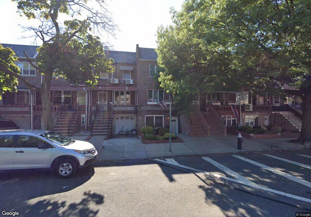
2016 Bragg St Brooklyn, NY 11229
Madison NeighborhoodEstimated Value: $931,352 - $1,033,000
Studio
--
Bath
2,052
Sq Ft
$475/Sq Ft
Est. Value
About This Home
This home is located at 2016 Bragg St, Brooklyn, NY 11229 and is currently estimated at $975,338, approximately $475 per square foot. 2016 Bragg St is a home located in Kings County with nearby schools including P.S. 194 Raoul Wallenberg, J.H.S. 278 Marine Park, and Good Shepherd School.
Ownership History
Date
Name
Owned For
Owner Type
Purchase Details
Closed on
Nov 18, 2011
Sold by
Cann Donna M
Bought by
Cann Donna M
Current Estimated Value
Home Financials for this Owner
Home Financials are based on the most recent Mortgage that was taken out on this home.
Original Mortgage
$182,774
Outstanding Balance
$124,574
Interest Rate
4.01%
Mortgage Type
Purchase Money Mortgage
Estimated Equity
$850,764
Create a Home Valuation Report for This Property
The Home Valuation Report is an in-depth analysis detailing your home's value as well as a comparison with similar homes in the area
Home Values in the Area
Average Home Value in this Area
Purchase History
| Date | Buyer | Sale Price | Title Company |
|---|---|---|---|
| Cann Donna M | -- | -- |
Source: Public Records
Mortgage History
| Date | Status | Borrower | Loan Amount |
|---|---|---|---|
| Open | Cann Donna M | $182,774 |
Source: Public Records
Tax History
| Year | Tax Paid | Tax Assessment Tax Assessment Total Assessment is a certain percentage of the fair market value that is determined by local assessors to be the total taxable value of land and additions on the property. | Land | Improvement |
|---|---|---|---|---|
| 2025 | $7,245 | $59,580 | $9,300 | $50,280 |
| 2024 | $7,245 | $50,820 | $9,300 | $41,520 |
| 2023 | $6,895 | $54,660 | $9,300 | $45,360 |
| 2022 | $6,770 | $49,260 | $9,300 | $39,960 |
| 2021 | $6,867 | $45,000 | $9,300 | $35,700 |
| 2020 | $3,211 | $50,460 | $9,300 | $41,160 |
| 2019 | $6,239 | $50,460 | $9,300 | $41,160 |
| 2018 | $5,707 | $29,458 | $7,294 | $22,164 |
| 2017 | $5,705 | $29,458 | $6,887 | $22,571 |
| 2016 | $5,361 | $28,365 | $7,303 | $21,062 |
| 2015 | $3,132 | $26,760 | $10,320 | $16,440 |
| 2014 | $3,132 | $26,021 | $10,035 | $15,986 |
Source: Public Records
Map
Nearby Homes
- 2126 Gerritsen Ave Unit 101
- 2126 Gerritsen Ave Unit 301
- 2156 Gerritsen Ave
- 3035 Avenue T
- 2022 Ford St
- 3019 Avenue T
- 2076 Coyle St
- 2068 Ford St
- 2202 Burnett St
- 1927 Batchelder St
- 2115 Batchelder St
- 2165 Brigham St Unit 3F
- 2165 Brigham St Unit 1C
- 2165 Brigham St Unit 6C
- 2141 Ford St
- 2170 Brigham St Unit 1D
- 2140 Knapp St Unit 4C
- 2140 Knapp St Unit 1G
- 2140 Knapp St Unit 5H
- 2140 Knapp St Unit 4D
- 2018 Bragg St
- 2018 Bragg St Unit Building
- 2014 Bragg St
- 2020 Bragg St
- 2012 Bragg St
- 2022 Bragg St
- 2010 Bragg St
- 2024 Bragg St
- 2110 Gerritsen Ave
- 2026 Bragg St
- 2106 Gerritsen Ave
- 2028 Bragg St
- 2017 Coyle St
- 2015 Coyle St
- 2019 Coyle St
- 2011 Coyle St
- 2021 Coyle St
- 2009 Coyle St
- 2030 Bragg St
- 2023 Coyle St
Your Personal Tour Guide
Ask me questions while you tour the home.