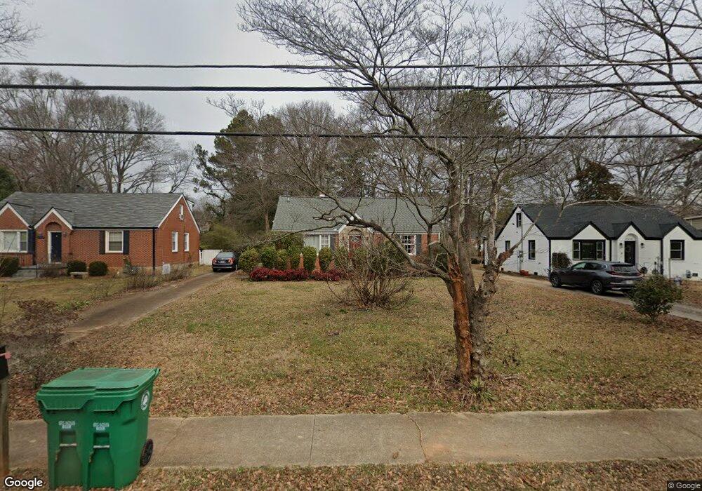
2016 Mcafee Rd Decatur, GA 30032
East Lake NeighborhoodEstimated Value: $299,000 - $335,000
About This Home
This home is located at 2016 Mcafee Rd, Decatur, GA 30032 and is currently estimated at $318,230, approximately $251 per square foot. 2016 Mcafee Rd is a home located in DeKalb County with nearby schools including McNair Middle School, McNair High School, and Charles Drew Charter School.
Ownership History
We collect this data history from publicly available records. To have your information removed, we recommend requesting removal directly through your county’s website.
Purchase Details
Home Financials for this Owner
Home Financials are based on the most recent Mortgage that was taken out on this home.Purchase Details
Home Financials for this Owner
Home Financials are based on the most recent Mortgage that was taken out on this home.Purchase Details
Home Financials for this Owner
Home Financials are based on the most recent Mortgage that was taken out on this home.Home Values in the Area
Average Home Value in this Area
Purchase History
We collect this data history from publicly available records. To have your information removed, we recommend requesting removal directly through your county’s website.
| Date | Buyer | Sale Price | Title Company |
|---|---|---|---|
| $121,700 | -- | ||
| -- | -- | ||
| $75,200 | -- |
Mortgage History
We collect this data history from publicly available records. To have your information removed, we recommend requesting removal directly through your county’s website.
| Date | Status | Borrower | Loan Amount |
|---|---|---|---|
| Open | $120,082 | ||
| Previous Owner | $63,263 |
Tax History
We collect this data history from publicly available records. To have your information removed, we recommend requesting removal directly through your county’s website.
| Year | Tax Paid | Tax Assessment Tax Assessment Total Assessment is a certain percentage of the fair market value that is determined by local assessors to be the total taxable value of land and additions on the property. | Land | Improvement |
|---|---|---|---|---|
| 2025 | $3,119 | $117,160 | $38,480 | $78,680 |
| 2024 | $2,867 | $104,000 | $29,120 | $74,880 |
| 2023 | $2,867 | $104,000 | $29,120 | $74,880 |
| 2022 | $2,970 | $111,720 | $31,320 | $80,400 |
| 2021 | $2,145 | $76,000 | $5,320 | $70,680 |
| 2020 | $2,150 | $76,000 | $5,320 | $70,680 |
| 2019 | $2,759 | $102,920 | $6,000 | $96,920 |
| 2018 | $1,873 | $67,039 | $2,681 | $64,358 |
| 2017 | $1,977 | $67,040 | $2,682 | $64,358 |
| 2016 | $2,173 | $76,680 | $6,000 | $70,680 |
| 2014 | $1,113 | $34,000 | $3,040 | $30,960 |
Map
- 2019 Marco Dr
- 2013 Marco Dr
- 2049 Mcafee Rd
- 2010 Delphine Dr
- 2003 W Starmount Way
- 1926 Second Ave
- 1893 Burning Tree Dr
- 2123 Juanita St
- 2147 Mcafee Rd
- 1990 Mcafee Place
- 2177 Mcafee Rd
- 1845 Delphine Dr
- 2148 Lilac Ln
- 2152 Lilac Ln
- 2203 Second Ave
- 2128 Mark Trail
- 2062 Swazey Dr
- 721 Fayetteville Rd SE
- 721 Fayetteville Rd SE Unit 609
- 721 Fayetteville Rd SE Unit 601
- 2020 Mcafee Rd
- 2010 Mcafee Rd
- 2026 Mcafee Rd Unit 25
- 2026 Mcafee Rd
- 2006 Mcafee Rd
- 2032 Mcafee Rd
- 2002 Mcafee Rd
- 0 Mcafee Rd Unit 7590557
- 2023 Marco Dr
- 2009 Marco Dr
- 2029 Marco Dr
- 2036 Mcafee Rd
- 1996 Mcafee Rd
- 1996 Mcafee Rd
- 2005 Marco Dr
- 2017 Mcafee Rd
- 2035 Marco Dr
- 2009 Mcafee Rd
- 1999 Marco Dr
- 1992 Mcafee Rd
Ask me questions while you tour the home.