2016 Pine Rd Carrabassett Valley, ME 04947
Estimated Value: $512,000
About This Home
This home is located at 2016 Pine Rd, Carrabassett Valley, ME 04947 and is currently estimated at $512,000, approximately $609 per square foot. 2016 Pine Rd is a home located in Franklin County.
Ownership History
We collect this data history from publicly available records. To have your information removed, we recommend requesting removal directly through your county’s website.
Purchase Details
Purchase Details
Home Financials for this Owner
Home Financials are based on the most recent Mortgage that was taken out on this home.Purchase Details
Purchase Details
Home Financials for this Owner
Home Financials are based on the most recent Mortgage that was taken out on this home.Purchase History
We collect this data history from publicly available records. To have your information removed, we recommend requesting removal directly through your county’s website.
| Date | Buyer | Sale Price | Title Company |
|---|---|---|---|
| -- | -- | ||
| -- | -- | ||
| -- | -- | ||
| -- | -- |
Mortgage History
We collect this data history from publicly available records. To have your information removed, we recommend requesting removal directly through your county’s website.
| Date | Status | Borrower | Loan Amount |
|---|---|---|---|
| Closed | $121,500 | ||
| Closed | $211,500 | ||
| Closed | $156,000 |
Tax History
We collect this data history from publicly available records. To have your information removed, we recommend requesting removal directly through your county’s website.
| Year | Tax Paid | Tax Assessment Tax Assessment Total Assessment is a certain percentage of the fair market value that is determined by local assessors to be the total taxable value of land and additions on the property. | Land | Improvement |
|---|---|---|---|---|
| 2025 | $1,495 | $302,000 | $88,000 | $214,000 |
| 2024 | $1,299 | $302,000 | $88,000 | $214,000 |
| 2023 | $1,214 | $205,000 | $55,000 | $150,000 |
| 2022 | $1,110 | $146,000 | $39,000 | $107,000 |
| 2021 | $997 | $146,000 | $39,000 | $107,000 |
| 2020 | $1,702 | $140,000 | $39,000 | $101,000 |
| 2019 | $793 | $123,000 | $39,000 | $84,000 |
| 2018 | $702 | $108,000 | $39,000 | $69,000 |
| 2017 | $618 | $95,000 | $39,000 | $56,000 |
| 2016 | $627 | $95,000 | $39,000 | $56,000 |
| 2015 | $641 | $95,000 | $39,000 | $56,000 |
| 2013 | -- | $95,000 | $39,000 | $56,000 |
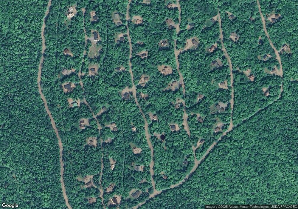
Map
- 2010 Pine Rd
- 2020 Brook Falls Rd
- 2018 Hillside Rd
- 2007 Pond Rd
- 2020, 2022 Pond Rd
- 2025 Hillside Rd
- 2001 West St
- 2003 Hutchins Cir
- 2029 Fox Hollow Rd
- 2032 Fox Hollow Rd
- 2001 Birch Trail Rd
- 3035 Carrabassett Dr
- 1264 Carrabassett Dr
- 1001 Old Huse Mill Rd
- 1201 Valley Crossing Unit 1201
- 1209 Valley Crossing Unit 1209
- 1115 Valley Crossing Unit 1115
- 8122 Sawtooth Rd
- 1120 Left Bank Unit 20
- 1023 Left Bank Unit 23
- 2014 Pine Rd
- 2012 Pine Rd
- 2011 Twin Rock Ln
- 2013 Twin Rock Ln
- 2017 Pine Rd Unit 2017
- 2019 Pine Rd
- 2015 Pine Rd
- 2009 Twin Rock Ln
- 2018 Pine Rd
- 2010 Pine St
- 2018 Brook Falls Rd
- 2021 Pine Rd
- 2012 Twin Rock Ln
- 2014 Brook Falls Rd
- 2020 Pine
- 2017 Twin Rock Ln
- 2014 Twin Rock Ln
- 2008 Pine Rd
- 2007 Twin Rock Ln
- 2012 Brook Falls Rd
Ask me questions while you tour the home.