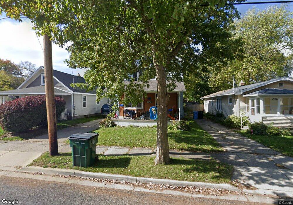
2016 Stirling Ave Lansing, MI 48910
Greencroft Park NeighborhoodEstimated Value: $125,000 - $143,000
About This Home
This home is located at 2016 Stirling Ave, Lansing, MI 48910 and is currently estimated at $133,194, approximately $95 per square foot. 2016 Stirling Ave is a home located in Ingham County with nearby schools including Averill Elementary School, Attwood School, and J.W. Sexton High School.
Ownership History
We collect this data history from publicly available records. To have your information removed, we recommend requesting removal directly through your county’s website.
Purchase Details
Home Financials for this Owner
Home Financials are based on the most recent Mortgage that was taken out on this home.Home Values in the Area
Average Home Value in this Area
Purchase History
We collect this data history from publicly available records. To have your information removed, we recommend requesting removal directly through your county’s website.
| Date | Buyer | Sale Price | Title Company |
|---|---|---|---|
| $69,000 | -- |
Mortgage History
We collect this data history from publicly available records. To have your information removed, we recommend requesting removal directly through your county’s website.
| Date | Status | Borrower | Loan Amount |
|---|---|---|---|
| Previous Owner | $68,964 |
Tax History
We collect this data history from publicly available records. To have your information removed, we recommend requesting removal directly through your county’s website.
| Year | Tax Paid | Tax Assessment Tax Assessment Total Assessment is a certain percentage of the fair market value that is determined by local assessors to be the total taxable value of land and additions on the property. | Land | Improvement |
|---|---|---|---|---|
| 2025 | $2,861 | $62,600 | $5,400 | $57,200 |
| 2024 | $27 | $56,200 | $5,400 | $50,800 |
| 2023 | $3,043 | $49,000 | $5,400 | $43,600 |
| 2022 | $2,777 | $45,300 | $6,900 | $38,400 |
| 2021 | $2,713 | $42,000 | $6,700 | $35,300 |
| 2020 | $2,694 | $38,100 | $6,700 | $31,400 |
| 2019 | $2,604 | $35,500 | $6,700 | $28,800 |
| 2018 | $2,468 | $33,200 | $6,700 | $26,500 |
| 2017 | $2,376 | $33,200 | $6,700 | $26,500 |
| 2016 | $2,282 | $32,700 | $6,700 | $26,000 |
| 2015 | $2,282 | $31,300 | $13,448 | $17,852 |
| 2014 | $2,282 | $30,400 | $13,448 | $16,952 |
Map
- 1027 Cooper Ave
- 1830 Fletcher St
- 712 Lenore Ave
- 912 Smith Ave
- 1116 George St
- 1204 George St
- 917 W Barnes Ave
- 2421 S Rundle Ave
- 1033 Kelsey Ave
- 1410 Poxson Ave
- 1207 Edward St
- 920 Sparrow Ave
- 516 Smith Ave
- 1309 Hammond St
- 1211 Alsdorf St
- 1120 Alsdorf St
- 1001 Moores River Dr
- 1414 Victor Ave
- 1717 Cooper Ave
- 1716 Gordon Ave
- 1012 Lenore Ave
- 1016 Lenore Ave
- 1020 Lenore Ave
- 1914 Stirling Ave
- 1912 Stirling Ave
- 1920 Stirling Ave
- 1013 W Mount Hope Ave
- 1007 W Mt Hope
- 1007 W Mount Hope Ave
- 1017 W Mount Hope Ave
- 1028 Lenore Ave
- 1021 W Mount Hope Ave
- 2000 Stirling Ave
- 1015 Lenore Ave
- 1017 Lenore Ave
- 1908 Stirling Ave
- 1025 W Mount Hope Ave
- 2004 Stirling Ave
- 1021 Lenore Ave
- 1029 W Mt Hope
Ask me questions while you tour the home.