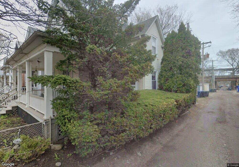
2017 Maple Ave Evanston, IL 60201
Northeast Evanston NeighborhoodEstimated Value: $866,131 - $994,000
3
Beds
2
Baths
1,870
Sq Ft
$489/Sq Ft
Est. Value
About This Home
This home is located at 2017 Maple Ave, Evanston, IL 60201 and is currently estimated at $914,033, approximately $488 per square foot. 2017 Maple Ave is a home located in Cook County with nearby schools including Dewey Elementary School, Washington Elementary School, and Nichols Middle School.
Ownership History
Date
Name
Owned For
Owner Type
Purchase Details
Closed on
Sep 1, 2016
Sold by
Likhite Carolyn D
Bought by
Likhite Carolyn D and Declaration Of Trust Of Carolyn D Likhit
Current Estimated Value
Purchase Details
Closed on
Aug 3, 2005
Sold by
Likhite Vivek J and Likhite Carolyn D
Bought by
Likhite Vivek J and Likhite Carolyn D
Create a Home Valuation Report for This Property
The Home Valuation Report is an in-depth analysis detailing your home's value as well as a comparison with similar homes in the area
Home Values in the Area
Average Home Value in this Area
Purchase History
| Date | Buyer | Sale Price | Title Company |
|---|---|---|---|
| Likhite Carolyn D | -- | None Available | |
| Likhite Vivek J | -- | -- |
Source: Public Records
Tax History
| Year | Tax Paid | Tax Assessment Tax Assessment Total Assessment is a certain percentage of the fair market value that is determined by local assessors to be the total taxable value of land and additions on the property. | Land | Improvement |
|---|---|---|---|---|
| 2025 | $14,049 | $74,000 | $8,319 | $65,681 |
| 2024 | $14,049 | $64,000 | $7,050 | $56,950 |
| 2023 | $13,436 | $64,000 | $7,050 | $56,950 |
| 2022 | $13,436 | $64,000 | $7,050 | $56,950 |
| 2021 | $8,990 | $39,872 | $4,653 | $35,219 |
| 2020 | $8,978 | $39,872 | $4,653 | $35,219 |
| 2019 | $8,775 | $43,624 | $4,653 | $38,971 |
| 2018 | $10,233 | $43,535 | $3,948 | $39,587 |
| 2017 | $9,995 | $43,535 | $3,948 | $39,587 |
| 2016 | $10,593 | $46,140 | $3,948 | $42,192 |
| 2015 | $8,586 | $36,520 | $3,384 | $33,136 |
| 2014 | $8,530 | $36,520 | $3,384 | $33,136 |
| 2013 | $8,306 | $36,520 | $3,384 | $33,136 |
Source: Public Records
Map
Nearby Homes
- 819 Foster St Unit 3N
- 2001 Sherman Ave Unit 203
- 2033 Sherman Ave Unit 507
- 2033 Sherman Ave Unit 409
- 2033 Sherman Ave Unit 306
- 730 Noyes St Unit K3
- 734 Noyes St Unit O2
- 2043 Asbury Ave
- 2236 Ridge Ave
- 724 Noyes St Unit F1
- 1864 Sherman Ave Unit 5NW
- 1860 Sherman Ave Unit 4SW
- 1860 Sherman Ave Unit 5NW
- 1860 Sherman Ave Unit 7NE
- 2242 Sherman Ave Unit 2242G
- 2016.5 Sherman Ave Unit 1S
- 1201 Noyes St
- 1228 Emerson St Unit 304
- 1834 Ridge Ave Unit 102
- 800 Elgin Rd Unit 1108
- 2013 Maple Ave Unit 1
- 2013 Maple Ave
- 2023 Maple Ave
- 912 Hamlin St Unit 3
- 912 Hamlin St Unit 2
- 912 Hamlin St Unit 1
- 912 Hamlin St
- 2025 Maple Ave
- 2009 Maple Ave
- 2007 Maple Ave
- 2029 Maple Ave
- 908 Hamlin St Unit 1
- 2005 Maple Ave
- 906 Hamlin St
- 2008 Maple Ave Unit CH
- 915 Foster St
- 911 Foster St
- 2003 Maple Ave
- 2018 Maple Ave
- 909 Foster St
Your Personal Tour Guide
Ask me questions while you tour the home.