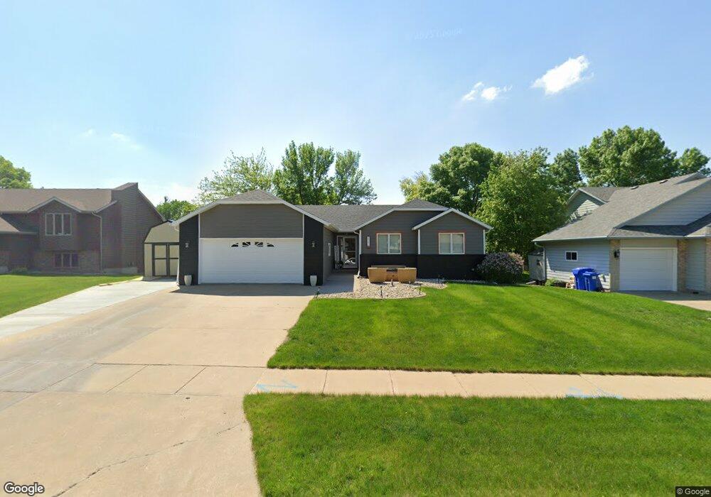
2017 S Thatcher Cir Sioux Falls, SD 57106
Kingswood NeighborhoodEstimated Value: $437,402 - $492,000
About This Home
This home is located at 2017 S Thatcher Cir, Sioux Falls, SD 57106 and is currently estimated at $463,351, approximately $170 per square foot. 2017 S Thatcher Cir is a home located in Minnehaha County with nearby schools including Oscar Howe Elementary School, Memorial Middle School, and Roosevelt High School.
Ownership History
We collect this data history from publicly available records. To have your information removed, we recommend requesting removal directly through your county’s website.
Purchase Details
Home Financials for this Owner
Home Financials are based on the most recent Mortgage that was taken out on this home.Home Values in the Area
Average Home Value in this Area
Purchase History
We collect this data history from publicly available records. To have your information removed, we recommend requesting removal directly through your county’s website.
| Date | Buyer | Sale Price | Title Company |
|---|---|---|---|
| $450,000 | -- | ||
| $450,000 | -- |
Mortgage History
We collect this data history from publicly available records. To have your information removed, we recommend requesting removal directly through your county’s website.
| Date | Status | Borrower | Loan Amount |
|---|---|---|---|
| Open | $382,415 | ||
| Closed | $382,415 |
Tax History
We collect this data history from publicly available records. To have your information removed, we recommend requesting removal directly through your county’s website.
| Year | Tax Paid | Tax Assessment Tax Assessment Total Assessment is a certain percentage of the fair market value that is determined by local assessors to be the total taxable value of land and additions on the property. | Land | Improvement |
|---|---|---|---|---|
| 2025 | $5,479 | $408,400 | $32,900 | $375,500 |
| 2024 | $5,479 | $365,400 | $32,900 | $332,500 |
| 2023 | $4,976 | $353,900 | $32,900 | $321,000 |
| 2022 | $4,927 | $330,800 | $32,900 | $297,900 |
| 2021 | $4,221 | $269,500 | $0 | $0 |
| 2020 | $4,221 | $271,300 | $0 | $0 |
| 2019 | $4,233 | $267,405 | $0 | $0 |
| 2018 | $3,827 | $259,423 | $0 | $0 |
| 2017 | $3,649 | $242,528 | $29,952 | $212,576 |
| 2016 | $3,649 | $231,166 | $28,080 | $203,086 |
| 2015 | $3,580 | $217,880 | $28,080 | $189,800 |
| 2014 | $3,512 | $215,982 | $28,080 | $187,902 |
Map
- 6013 W Winterberry Cir
- 2200 S Crown Hill Dr
- 2209 S Dover Dr
- 2309 S Dover Dr
- 6601 W 32nd St
- 6612 W Thatcher Dr
- 5833 W King Arthur Dr
- 1805 S Lorne Ln
- 2408 S Valley View Rd
- 1810 S Campbell Trail
- 6915 W Westminster Dr
- 5808 W 32nd St
- 2305 S Royal Ct
- 5904 W 35th St
- 1903 S Sertoma Ave Unit 104
- 1907 S Sertoma Ave Unit 101
- 5809 W 35th St
- 1811 S Sertoma Ave Unit 102
- 1811 S Sertoma Ave Unit 106
- 5600 W Jeanne Dr
- 2013 S Thatcher Cir
- 2021 S Thatcher Cir
- 2009 S Thatcher Cir
- 2016 S Oxford Ave
- 2012 S Thatcher Cir
- 2016 S Thatcher Cir
- 2012 S Oxford Ave
- 2020 S Oxford Ave
- 2006 S Thatcher Cir
- 2020 S Thatcher Cir
- 2023 S Thatcher Cir
- 2008 S Oxford Ave
- 2005 S Thatcher Cir
- 2024 S Oxford Ave
- 2004 S Oxford Ave
- 2013 S Queens Ave
- 2009 S Queens Ave
- 2005 S Queens Ave
- 2000 S Thatcher Cir
- 2025 S Thatcher Cir
Ask me questions while you tour the home.