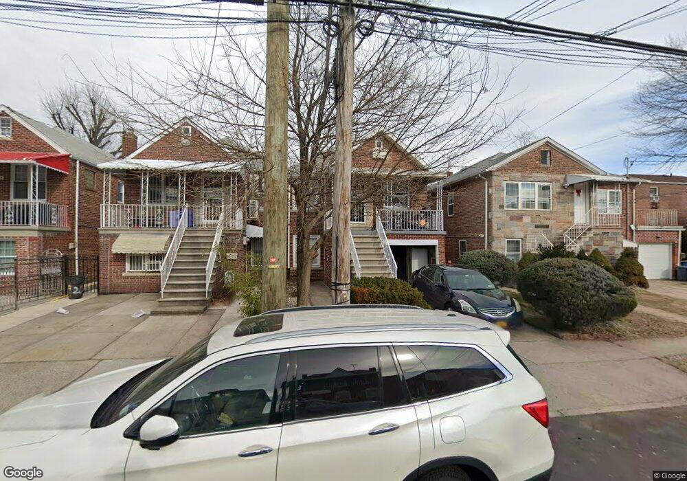
2018 Hone Ave Bronx, NY 10461
Morris Park NeighborhoodEstimated Value: $655,000 - $880,000
Studio
--
Bath
1,695
Sq Ft
$456/Sq Ft
Est. Value
About This Home
This home is located at 2018 Hone Ave, Bronx, NY 10461 and is currently estimated at $772,958, approximately $456 per square foot. 2018 Hone Ave is a home located in Bronx County with nearby schools including P.S. 083 The Donald Hertz School, Emblaze Academy Charter School, and St. Clare of Assisi School.
Ownership History
Date
Name
Owned For
Owner Type
Purchase Details
Closed on
Sep 11, 2009
Sold by
Uzzo Gaspar and Uzzo Michela
Bought by
Kurti Arjana and Kurti Artan
Current Estimated Value
Home Financials for this Owner
Home Financials are based on the most recent Mortgage that was taken out on this home.
Original Mortgage
$348,000
Outstanding Balance
$222,438
Interest Rate
5.31%
Mortgage Type
Purchase Money Mortgage
Estimated Equity
$550,520
Create a Home Valuation Report for This Property
The Home Valuation Report is an in-depth analysis detailing your home's value as well as a comparison with similar homes in the area
Home Values in the Area
Average Home Value in this Area
Purchase History
We collect this data history from publicly available records. To have your information removed, we recommend requesting removal directly through your county’s website.
| Date | Buyer | Sale Price | Title Company |
|---|---|---|---|
| Kurti Arjana | $435,000 | -- |
Source: Public Records
Mortgage History
We collect this data history from publicly available records. To have your information removed, we recommend requesting removal directly through your county’s website.
| Date | Status | Borrower | Loan Amount |
|---|---|---|---|
| Open | Kurti Arjana | $348,000 |
Source: Public Records
Tax History
| Year | Tax Paid | Tax Assessment Tax Assessment Total Assessment is a certain percentage of the fair market value that is determined by local assessors to be the total taxable value of land and additions on the property. | Land | Improvement |
|---|---|---|---|---|
| 2026 | $7,271 | $37,741 | $9,088 | $28,653 |
| 2025 | $7,097 | $36,202 | $9,131 | $27,071 |
| 2024 | $7,097 | $35,334 | $8,084 | $27,250 |
| 2023 | $6,770 | $33,336 | $7,658 | $25,678 |
| 2022 | $5,939 | $46,860 | $10,200 | $36,660 |
| 2021 | $6,619 | $39,720 | $10,200 | $29,520 |
| 2020 | $6,386 | $40,740 | $10,200 | $30,540 |
| 2019 | $6,160 | $37,380 | $10,200 | $27,180 |
| 2018 | $5,663 | $27,780 | $8,045 | $19,735 |
| 2017 | $5,343 | $26,209 | $8,503 | $17,706 |
| 2016 | $5,239 | $26,209 | $10,149 | $16,060 |
| 2015 | $2,982 | $25,140 | $11,340 | $13,800 |
| 2014 | $2,982 | $24,538 | $11,256 | $13,282 |
Source: Public Records
Map
Nearby Homes
- 1954 Hone Ave
- 2021 Haight Ave
- 1100 Neill Ave
- 2028 Haight Ave
- 1945 Paulding Ave
- 1950 Haight Ave
- 1942 Haight Ave
- 986 Neill Ave
- 2037 Radcliff Ave
- 2042 Bogart Ave
- 2004 Bogart Ave
- 2154 Haight Ave
- 1925 Radcliff Ave
- 1116 Rhinelander Ave
- 1957 Bogart Ave
- 2129 Muliner Ave
- 2080 Matthews Ave
- 1863 Williamsbridge Rd
- 2033 Hering Ave
- 1844 Tomlinson Ave
- 2014 Hone Ave
- 2020 Hone Ave
- 1055 Neill Ave
- 1053 Neill Ave
- 1057 Neill Ave
- 2024 Hone Ave
- 2013 Lurting Ave
- 2026 Hone Ave
- 2017 Lurting Ave
- 2011 Lurting Ave Unit 3
- 2011 Lurting Ave
- 2019 Lurting Ave
- 2030 Hone Ave
- 2003 Lurting Ave
- 2023 Lurting Ave
- 2023 Lurting Ave
- 2005 Hone Ave
- 2011 Hone Ave
- 2015 Hone Ave
- 2034 Hone Ave
Your Personal Tour Guide
Ask me questions while you tour the home.