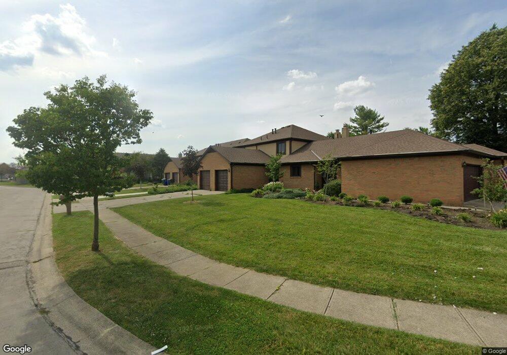
2018 Queensgate Ln Unit 2018 Columbus, OH 43235
The Gables NeighborhoodEstimated Value: $220,000 - $242,000
2
Beds
2
Baths
1,128
Sq Ft
$206/Sq Ft
Est. Value
About This Home
This home is located at 2018 Queensgate Ln Unit 2018, Columbus, OH 43235 and is currently estimated at $232,039, approximately $205 per square foot. 2018 Queensgate Ln Unit 2018 is a home located in Franklin County with nearby schools including Daniel Wright Elementary School, Ann Simpson Davis Middle School, and Dublin Scioto High School.
Ownership History
Date
Name
Owned For
Owner Type
Purchase Details
Closed on
Nov 20, 2006
Sold by
Finn James P and Finn Susan D
Bought by
Myers Karisa A
Current Estimated Value
Home Financials for this Owner
Home Financials are based on the most recent Mortgage that was taken out on this home.
Original Mortgage
$95,200
Outstanding Balance
$55,954
Interest Rate
6.47%
Mortgage Type
Purchase Money Mortgage
Estimated Equity
$176,085
Create a Home Valuation Report for This Property
The Home Valuation Report is an in-depth analysis detailing your home's value as well as a comparison with similar homes in the area
Home Values in the Area
Average Home Value in this Area
Purchase History
| Date | Buyer | Sale Price | Title Company |
|---|---|---|---|
| Myers Karisa A | $119,000 | Talon Group |
Source: Public Records
Mortgage History
| Date | Status | Borrower | Loan Amount |
|---|---|---|---|
| Open | Myers Karisa A | $95,200 |
Source: Public Records
Tax History
| Year | Tax Paid | Tax Assessment Tax Assessment Total Assessment is a certain percentage of the fair market value that is determined by local assessors to be the total taxable value of land and additions on the property. | Land | Improvement |
|---|---|---|---|---|
| 2025 | $4,225 | $66,010 | $15,750 | $50,260 |
| 2024 | $4,225 | $66,010 | $15,750 | $50,260 |
| 2023 | $4,169 | $66,010 | $15,750 | $50,260 |
| 2022 | $7,535 | $52,820 | $12,080 | $40,740 |
| 2021 | $3,677 | $52,820 | $12,080 | $40,740 |
| 2020 | $3,507 | $52,820 | $12,080 | $40,740 |
| 2019 | $3,444 | $45,920 | $10,500 | $35,420 |
| 2018 | $2,966 | $45,920 | $10,500 | $35,420 |
| 2017 | $3,104 | $45,920 | $10,500 | $35,420 |
| 2016 | $2,542 | $35,320 | $5,780 | $29,540 |
| 2015 | $2,557 | $35,320 | $5,780 | $29,540 |
| 2014 | $2,560 | $35,320 | $5,780 | $29,540 |
| 2013 | $1,300 | $35,315 | $5,775 | $29,540 |
Source: Public Records
Map
Nearby Homes
- 5446 Baneberry Ave Unit 16A
- 2073 Tamarin Dr Unit 9D
- 5258 Captains Ct Unit E
- 5331 Bethel Park Dr
- 5374 Tartan Ln Unit 33
- 2176 Hedgerow Rd Unit 2176D
- 2034 Fraley Dr
- 1837 Scottsdale Ave
- 5354 Shannon Ln Unit 71
- 2229 Hedgerow Rd Unit 2229B
- 5624 Wigmore Dr Unit 50B
- 2283 Hedgerow Rd Unit 2283G
- 1765 Scottsdale Ave
- 5094 Reed Rd
- 5647 Barney Ln
- 5109 Ranstead Ct Unit 9
- 2324 Terrance Dr Unit 74
- 5107 Delancey St
- 5275 Portland St Unit 204
- 5285 Portland St Unit 104
- 2020 Queensgate Ln Unit 2020
- 2014 Queensgate Ln Unit 2014
- 2024 Queensgate Ln Unit 2024
- 2012 Queensgate Ln
- 2000 Queensgate Ln
- 2005 Bayswater Dr
- 5436 Baneberry Ave
- 5420 Baneberry Ave Unit 7D
- 5420 Baneberry Dr
- 5434 Baneberry Ave Unit 15B
- 2009 Queensgate Ln
- 5418 Baneberry Ave Unit 7B
- 5410 Baneberry Ave
- 5410 Baneberry Ave
- 5410 Baneberry Ave Unit 7f
- 5416 Baneberry Ave Unit 7C
- 5432 Baneberry Ave
- 5412 Baneberry Ave Unit 7E
- 5414 Baneberry Ave Unit 7D
- 2005 Queensgate Ln
Your Personal Tour Guide
Ask me questions while you tour the home.