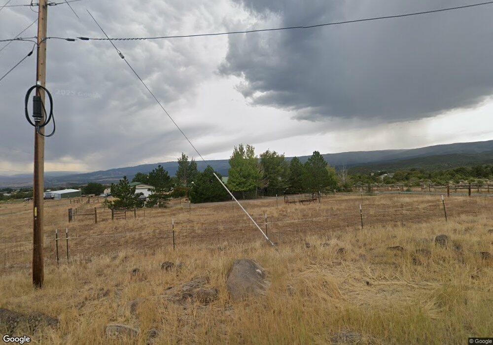
20181 Surface Creek Rd Cedaredge, CO 81413
Estimated Value: $411,000 - $496,000
3
Beds
2
Baths
1,881
Sq Ft
$243/Sq Ft
Est. Value
About This Home
This home is located at 20181 Surface Creek Rd, Cedaredge, CO 81413 and is currently estimated at $457,097, approximately $243 per square foot. 20181 Surface Creek Rd is a home located in Delta County with nearby schools including Cedaredge Elementary School, Cedaredge Middle School, and Cedaredge High School.
Ownership History
Date
Name
Owned For
Owner Type
Purchase Details
Closed on
Mar 14, 2011
Sold by
Shelby Kathryn Ann
Bought by
Kathryn Ann Shelby Trust
Current Estimated Value
Purchase Details
Closed on
Sep 18, 2006
Sold by
Shelby Kathryn Ann and Shelby Ralph H
Bought by
Shelby Ralph H and Shelby Katryn Ann
Purchase Details
Closed on
Jan 14, 2006
Sold by
Flores Hector A and Flores Elvira
Bought by
Shelby Kathryn Ann and Shelby Ralph H
Home Financials for this Owner
Home Financials are based on the most recent Mortgage that was taken out on this home.
Original Mortgage
$153,200
Outstanding Balance
$84,985
Interest Rate
6.05%
Mortgage Type
New Conventional
Estimated Equity
$372,112
Purchase Details
Closed on
Jun 25, 2001
Sold by
Bell
Bought by
Shelby Kathryn Ann Trust and Flores
Create a Home Valuation Report for This Property
The Home Valuation Report is an in-depth analysis detailing your home's value as well as a comparison with similar homes in the area
Purchase History
| Date | Buyer | Sale Price | Title Company |
|---|---|---|---|
| Kathryn Ann Shelby Trust | -- | None Available | |
| Shelby Kathryn Ann | -- | None Available | |
| Shelby Ralph H | -- | None Available | |
| Shelby Kathryn Ann | $191,500 | Fahtco | |
| Shelby Kathryn Ann Trust | $53,000 | -- |
Source: Public Records
Mortgage History
| Date | Status | Borrower | Loan Amount |
|---|---|---|---|
| Open | Shelby Kathryn Ann | $153,200 |
Source: Public Records
Tax History
| Year | Tax Paid | Tax Assessment Tax Assessment Total Assessment is a certain percentage of the fair market value that is determined by local assessors to be the total taxable value of land and additions on the property. | Land | Improvement |
|---|---|---|---|---|
| 2024 | $891 | $21,113 | $5,704 | $15,409 |
| 2023 | $891 | $21,113 | $5,704 | $15,409 |
| 2022 | $632 | $17,467 | $3,823 | $13,644 |
| 2021 | $634 | $17,970 | $3,933 | $14,037 |
| 2020 | $351 | $11,797 | $3,933 | $7,864 |
| 2019 | $352 | $11,797 | $3,933 | $7,864 |
| 2018 | $264 | $8,519 | $2,592 | $5,927 |
| 2017 | $266 | $8,583 | $2,592 | $5,991 |
| 2016 | $637 | $11,288 | $4,497 | $6,791 |
| 2014 | -- | $9,065 | $2,945 | $6,120 |
Source: Public Records
Map
Nearby Homes
- 24119 Ute Trail Rd
- 24593 Timothy Rd
- 2115 2500 Rd
- 20709 Highway 65
- TBD SE 3rd Lot 5 Will-O-way Subdivision St
- Unit 13 W Elk Dr
- 25615 Starner Loop Rd
- 19122 2325 Rd
- 18076 Hanson Rd
- 22876 Thunder Mountain Ln
- 21501 Surface Creek Rd
- 18865 Northridge Rd
- 23045 T Rd
- 504 NE Ginters Grove Ln
- 18377 Highway 65
- 17969 Surface Creek Rd
- 17656 2550 Rd
- 794 NE Indian Camp Ave
- 18371 2325 (Lot 1) Rd
- 17826 & 17830 Hanson Rd
- 20151 Surface Creek Rd
- 20226 Surface Creek Rd
- 20201 Surface Creek Rd
- 20103 Surface Creek Rd
- 20213 Surface Creek Rd
- 20264 Surface Creek Rd
- 20329 Surface Creek Rd
- 20055 Surface Creek Rd
- 20342 Surface Creek Rd
- 20156 Surface Creek Rd
- 19975 Surface Creek Rd
- 19961 Surface Creek Rd
- 19930 Surface Creek Rd
- 19926 Surface Creek Rd
- 24714 Ute Trail Rd
- 24702 Ute Trail Rd
- 19922 Surface Creek Rd
- 24733 Ute Trail Rd
- 24650 Ute Trail Rd
- 20525 Surface Creek Rd
Your Personal Tour Guide
Ask me questions while you tour the home.