20185 Independence Dr Unit B Brookfield, WI 53045
Estimated Value: $238,000 - $266,000
About This Home
This home is located at 20185 Independence Dr Unit B, Brookfield, WI 53045 and is currently estimated at $252,715, approximately $188 per square foot. 20185 Independence Dr Unit B is a home located in Waukesha County with nearby schools including Brookfield Elementary School, Wisconsin Hills Middle School, and Brookfield Central High School.
Ownership History
Purchase Details
Home Financials for this Owner
Home Financials are based on the most recent Mortgage that was taken out on this home.Purchase Details
Purchase Details
Home Values in the Area
Average Home Value in this Area
Purchase History
We collect this data history from publicly available records. To have your information removed, we recommend requesting removal directly through your county’s website.
| Date | Buyer | Sale Price | Title Company |
|---|---|---|---|
| Heyen Catherine Grace | $115,000 | -- | |
| Trebby Family Trust | -- | -- | |
| Trebby Lois S | -- | -- |
Mortgage History
We collect this data history from publicly available records. To have your information removed, we recommend requesting removal directly through your county’s website.
| Date | Status | Borrower | Loan Amount |
|---|---|---|---|
| Open | Heyen Catherine Grace | $50,000 |
Tax History
| Year | Tax Paid | Tax Assessment Tax Assessment Total Assessment is a certain percentage of the fair market value that is determined by local assessors to be the total taxable value of land and additions on the property. | Land | Improvement |
|---|---|---|---|---|
| 2024 | $1,908 | $184,900 | $50,000 | $134,900 |
| 2023 | $1,893 | $184,900 | $50,000 | $134,900 |
| 2022 | $1,804 | $138,600 | $50,000 | $88,600 |
| 2021 | $1,898 | $138,600 | $50,000 | $88,600 |
| 2020 | $2,030 | $138,600 | $50,000 | $88,600 |
| 2019 | $1,932 | $138,600 | $50,000 | $88,600 |
| 2018 | $1,734 | $118,200 | $35,000 | $83,200 |
| 2017 | $2,115 | $118,200 | $35,000 | $83,200 |
| 2016 | $1,740 | $118,200 | $35,000 | $83,200 |
| 2015 | $1,742 | $118,200 | $35,000 | $83,200 |
| 2014 | $2,076 | $138,800 | $40,000 | $98,800 |
| 2013 | $2,152 | $138,800 | $40,000 | $98,800 |
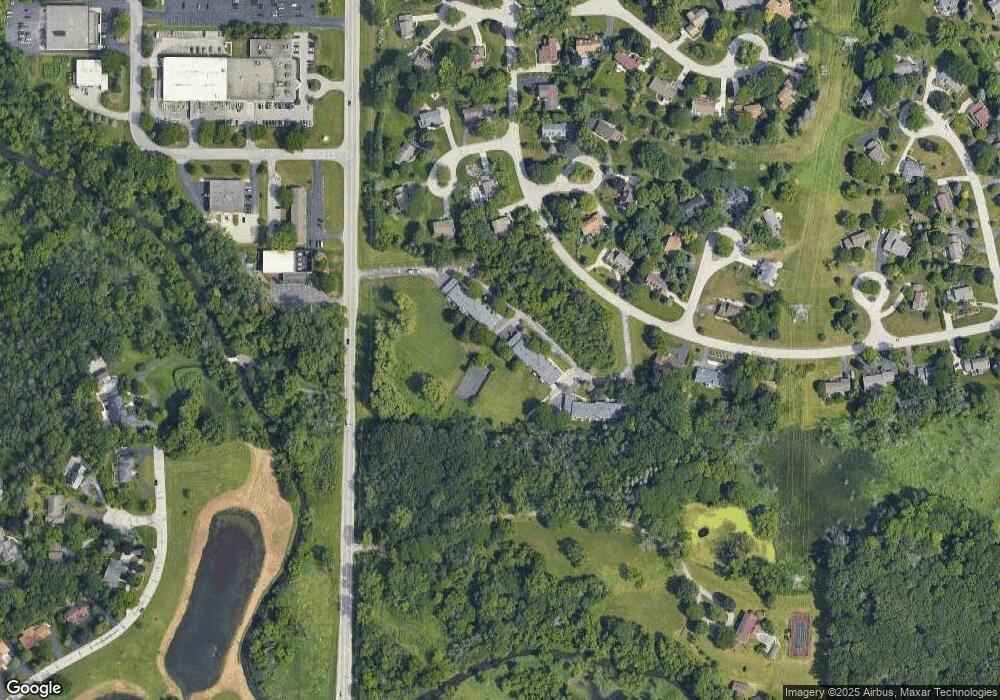
Map
- 1310 Centennial Ct
- 1545 Constitution Dr
- 19630 Independence Ct
- 21195 Mary Lynn Dr
- 19505 Gebhardt Rd
- 21190 Watertown Rd
- 20845 Hunters Run
- 850 Janacek Rd
- 20000 Glenoaks Dr
- 18950 Toldt Woods Dr Unit 19
- 2270 Vincent Dr
- 1485 N Brookfield Rd
- 18880 Toldt Woods Dr Unit 7
- 2423 Kossow Rd
- 2385 Buckingham Place
- 21300 Astolat Dr
- 355 Jennifer Ln Unit 4
- 390 Dustin Dr Unit 7
- 21065 Bradford Ln
- 18925 Eagle Dr Unit 101
- 20185 Independence Dr Unit A
- 20155 Independence Dr Unit D
- 20155 Independence Dr Unit A
- 20185 Independence Dr Unit C
- 20155 Independence Dr Unit C
- 20185 Independence Dr Unit D
- 20155 Independence Dr Unit B
- 20185 Independence Dr Unit 20185
- 20245 Independence Dr
- 20245 Independence Dr Unit C
- 20245 Independence Dr Unit B
- 20275 Independence Dr Unit D
- 20295 Independence Dr Unit A
- 20295 Independence Dr Unit C
- 20215 Independence Dr Unit B
- 20245 Independence Dr Unit A
- 20215 Independence Dr Unit D
- 20215 Independence Dr Unit C
- 20295 Independence Dr Unit B
- 20275 Independence Dr Unit B
Ask me questions while you tour the home.