2019 Blacks Rd SW Hebron, OH 43025
Union NeighborhoodEstimated Value: $666,000 - $1,006,000
4
Beds
2
Baths
2,278
Sq Ft
$375/Sq Ft
Est. Value
About This Home
This home is located at 2019 Blacks Rd SW, Hebron, OH 43025 and is currently estimated at $854,027, approximately $374 per square foot. 2019 Blacks Rd SW is a home located in Licking County with nearby schools including Jackson Intermediate School, Lakewood Middle School, and Lakewood High School.
Ownership History
Date
Name
Owned For
Owner Type
Purchase Details
Closed on
Aug 10, 2007
Sold by
Damron Jeffrey D and Damron Edelina S
Bought by
Herron Elizabeth A
Current Estimated Value
Home Financials for this Owner
Home Financials are based on the most recent Mortgage that was taken out on this home.
Original Mortgage
$324,700
Outstanding Balance
$200,992
Interest Rate
6.77%
Mortgage Type
Unknown
Estimated Equity
$653,035
Create a Home Valuation Report for This Property
The Home Valuation Report is an in-depth analysis detailing your home's value as well as a comparison with similar homes in the area
Home Values in the Area
Average Home Value in this Area
Purchase History
| Date | Buyer | Sale Price | Title Company |
|---|---|---|---|
| Herron Elizabeth A | $382,000 | Attorney |
Source: Public Records
Mortgage History
| Date | Status | Borrower | Loan Amount |
|---|---|---|---|
| Open | Herron Elizabeth A | $324,700 |
Source: Public Records
Tax History
| Year | Tax Paid | Tax Assessment Tax Assessment Total Assessment is a certain percentage of the fair market value that is determined by local assessors to be the total taxable value of land and additions on the property. | Land | Improvement |
|---|---|---|---|---|
| 2025 | $9,507 | $231,600 | $85,020 | $146,580 |
| 2024 | $9,228 | $231,600 | $85,020 | $146,580 |
| 2023 | $15,813 | $231,600 | $85,020 | $146,580 |
| 2022 | $6,686 | $158,310 | $55,300 | $103,010 |
| 2021 | $6,904 | $158,310 | $55,300 | $103,010 |
| 2020 | $7,155 | $158,310 | $55,300 | $103,010 |
| 2019 | $6,346 | $131,920 | $52,680 | $79,240 |
| 2018 | $6,413 | $0 | $0 | $0 |
| 2017 | $6,340 | $0 | $0 | $0 |
| 2016 | $6,327 | $0 | $0 | $0 |
| 2015 | $6,287 | $0 | $0 | $0 |
| 2014 | $9,047 | $0 | $0 | $0 |
| 2013 | $5,942 | $0 | $0 | $0 |
Source: Public Records
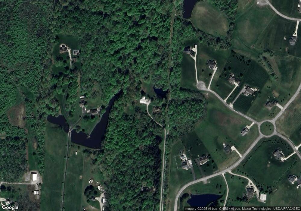
Map
Nearby Homes
- 1284 Deeds Rd
- 265 Waters Edge
- 0 Hayes Rd Unit Lot 1
- 0 Hayes Rd Unit Lot 2
- 3343 Hayes Rd
- 113 Blackstone Ct
- 1906 Seminary Rd
- 4310 Lancaster Rd
- 4412 Hickory Ln
- 2241 Seminary Rd SE
- 5131 Deeds Rd
- 5706 Gale Rd SW
- 4650 Granview Rd
- 90 Louella Dr
- 9257 Lancaster Rd
- 799 Old James Rd
- 3787 Refugee Rd SW
- 1862 Hallie Ln
- 3224 Hebron Rd
- 780 National Rd SE
- 116 Foxridge Way
- 112 Foxridge Way
- 2184 Blacks Rd SW
- 150 Auld Ridge Way Unit Lt 35
- 150 Auld Ridge Way Unit Lot 35
- 150 Auld Ridge Way Unit Lot 5
- 108 Foxridge Way
- 5 Coyote Ridge Way
- 4 Coyote Ridge Way
- 2 Coyote Ridge Way
- 3 Coyote Ridge Way
- 154 Auld Ridge Way
- 2023 Blacks Rd SW
- 154 Auld Ridge Way
- 154 Auld Ridge Way Unit Lt 34
- 101 Coyote Ridge Way Unit Lt 36
- 101 Coyote Ridge Way Unit Lot 36
- 104 Fox Ridge Way Unit Lt 11
- 104 Fox Ridge Way Unit Lot 9
- 104 Fox Ridge Way Unit Lot 11
Your Personal Tour Guide
Ask me questions while you tour the home.