202 Camp Ground Rd Confluence, PA 15424
Estimated Value: $198,000 - $278,394
About This Home
This home is located at 202 Camp Ground Rd, Confluence, PA 15424 and is currently estimated at $224,599, approximately $148 per square foot. 202 Camp Ground Rd is a home with nearby schools including Turkeyfoot Valley Area Elementary School and Turkeyfoot Valley Area Junior/Senior High School.
Ownership History
We collect this data history from publicly available records. To have your information removed, we recommend requesting removal directly through your county’s website.
Purchase Details
Home Financials for this Owner
Home Financials are based on the most recent Mortgage that was taken out on this home.Purchase Details
Purchase Details
Home Values in the Area
Average Home Value in this Area
Purchase History
We collect this data history from publicly available records. To have your information removed, we recommend requesting removal directly through your county’s website.
| Date | Buyer | Sale Price | Title Company |
|---|---|---|---|
| $18,863 | None Available | ||
| $87,500 | None Available | ||
| -- | None Available |
Mortgage History
We collect this data history from publicly available records. To have your information removed, we recommend requesting removal directly through your county’s website.
| Date | Status | Borrower | Loan Amount |
|---|---|---|---|
| Open | $99,769 |
Tax History
We collect this data history from publicly available records. To have your information removed, we recommend requesting removal directly through your county’s website.
| Year | Tax Paid | Tax Assessment Tax Assessment Total Assessment is a certain percentage of the fair market value that is determined by local assessors to be the total taxable value of land and additions on the property. | Land | Improvement |
|---|---|---|---|---|
| 2026 | $2,455 | $50,890 | $0 | $0 |
| 2025 | $2,381 | $50,890 | $0 | $0 |
| 2024 | $2,381 | $50,890 | $0 | $0 |
| 2023 | $2,174 | $48,270 | $0 | $0 |
| 2022 | $2,117 | $48,270 | $0 | $0 |
| 2021 | $2,069 | $48,270 | $0 | $0 |
| 2020 | $2,069 | $48,270 | $0 | $0 |
| 2019 | $644 | $15,030 | $0 | $0 |
| 2018 | $638 | $15,030 | $5,890 | $9,140 |
| 2017 | $638 | $15,030 | $5,890 | $9,140 |
| 2016 | -- | $15,030 | $5,890 | $9,140 |
| 2015 | -- | $15,025 | $5,885 | $9,140 |
| 2014 | -- | $15,025 | $5,885 | $9,140 |
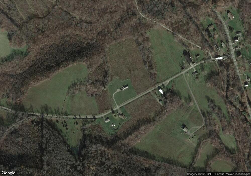
Map
- 217 Camp Ground Rd
- 2823 Fort Hill Rd
- 2150 Listonburg Rd
- Lot 6 Klondike Rd
- Lot 2 Klondike Rd
- Lot 1 Klondike Rd
- 0 Klondike Rd Unit 22177073
- 0 Klondike Rd Unit 22177082
- 0 Klondike Rd Unit 22177074
- 276 Starr Ln
- 0 Listenburg Rd
- 0 Listonburg Rd Unit 11682627
- 842 Anderson St
- 829 Oden St
- 104 Groff Rd
- 631 Meyers St
- 521 Williams St
- 626 Sterner St
- 734 Main St
- 822 Main St
- 141 Campround Rd
- 177 Camp Ground Rd
- 141 Camp Ground Rd
- 149 Camp Ground Rd
- 106 Camp Ground Rd
- 2004 Listonburg Rd
- 1996 Listonburg Rd
- 2051 Listonburg Rd
- 2051 Listonburg Rd
- 2036 Listonburg Rd
- 1976 Listonburg Rd
- 1940 Listonburg Rd
- 1891 Listonburg Rd
- 1877 Listonburg Rd
- 2092 Listonburg Rd
- 2092 Listonburg Rd
- 1861 Listonburg Rd
- 2851 Fort Hill Rd
- 119 Camp Ground Rd
- 2131 Listonburg Rd
Ask me questions while you tour the home.