Estimated Value: $243,680 - $436,000
3
Beds
2
Baths
1,056
Sq Ft
$315/Sq Ft
Est. Value
About This Home
This home is located at 202 Flat Ground Rd, Acton, ME 04001 and is currently estimated at $332,170, approximately $314 per square foot. 202 Flat Ground Rd is a home located in York County with nearby schools including Acton Elementary School.
Ownership History
Date
Name
Owned For
Owner Type
Purchase Details
Closed on
Jul 1, 2021
Sold by
Perry Taylor L
Bought by
Rodney Daniel
Current Estimated Value
Home Financials for this Owner
Home Financials are based on the most recent Mortgage that was taken out on this home.
Original Mortgage
$101,000
Outstanding Balance
$90,843
Interest Rate
2.9%
Mortgage Type
Purchase Money Mortgage
Estimated Equity
$241,327
Purchase Details
Closed on
Oct 19, 2016
Sold by
Long Ronald P and Long Noreen T
Bought by
Perry Taylor L and Rodney Daniel
Home Financials for this Owner
Home Financials are based on the most recent Mortgage that was taken out on this home.
Original Mortgage
$93,100
Interest Rate
3.44%
Mortgage Type
New Conventional
Purchase Details
Closed on
May 26, 2009
Sold by
Howarth Candace M and Smith Cancace M
Bought by
Long Noreen T and Long Ronald P
Create a Home Valuation Report for This Property
The Home Valuation Report is an in-depth analysis detailing your home's value as well as a comparison with similar homes in the area
Home Values in the Area
Average Home Value in this Area
Purchase History
| Date | Buyer | Sale Price | Title Company |
|---|---|---|---|
| Rodney Daniel | -- | None Available | |
| Perry Taylor L | -- | -- | |
| Long Noreen T | -- | -- |
Source: Public Records
Mortgage History
| Date | Status | Borrower | Loan Amount |
|---|---|---|---|
| Open | Rodney Daniel | $101,000 | |
| Previous Owner | Perry Taylor L | $93,100 |
Source: Public Records
Tax History
| Year | Tax Paid | Tax Assessment Tax Assessment Total Assessment is a certain percentage of the fair market value that is determined by local assessors to be the total taxable value of land and additions on the property. | Land | Improvement |
|---|---|---|---|---|
| 2025 | $1,301 | $180,484 | $98,800 | $81,684 |
| 2024 | $1,276 | $180,484 | $98,800 | $81,684 |
| 2023 | $1,164 | $180,484 | $98,800 | $81,684 |
| 2022 | $1,148 | $96,095 | $68,500 | $27,595 |
| 2021 | $1,148 | $96,095 | $68,500 | $27,595 |
| 2020 | $1,158 | $96,095 | $68,500 | $27,595 |
| 2019 | $1,158 | $96,095 | $68,500 | $27,595 |
| 2018 | $1,158 | $96,095 | $68,500 | $27,595 |
| 2017 | $1,144 | $96,095 | $68,500 | $27,595 |
| 2016 | $1,081 | $96,095 | $68,500 | $27,595 |
| 2015 | $1,110 | $96,095 | $68,500 | $27,595 |
| 2014 | $1,067 | $96,095 | $68,500 | $27,595 |
Source: Public Records
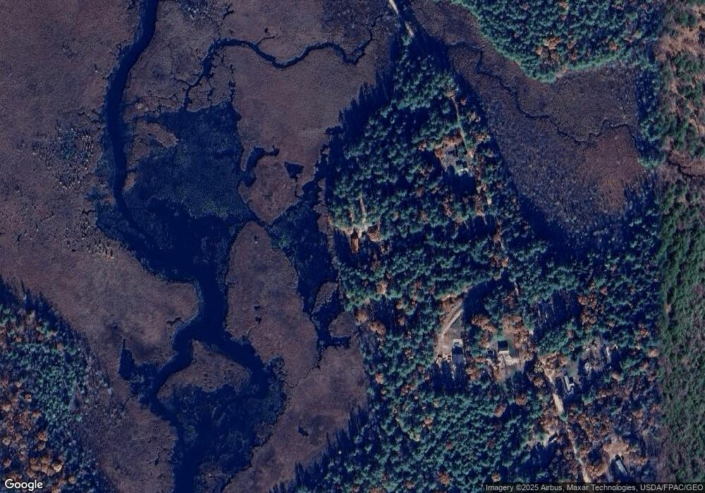
Map
Nearby Homes
- 232 Flat Ground Rd
- 197 Flat Ground Rd
- 275 Flat Ground Rd
- 182 Flat Ground Rd
- tbd Flat Ground
- 233 Flat Ground Rd
- 177 Flat Ground Rd
- 261 Flat Ground Rd
- 00 Flat Ground Rd
- M225 L2-1 Flat Ground Rd
- 160 Flat Ground Rd
- 96 Healey Way
- 80 Healey Way
- 131 Flat Ground Rd
- Lot 1 Healey Way
- TBD Healey Way
- 0 Flat Ground Rd
- 101 Flat Ground Rd
- 54 Healey Way
- 972 Hopper Rd
Your Personal Tour Guide
Ask me questions while you tour the home.