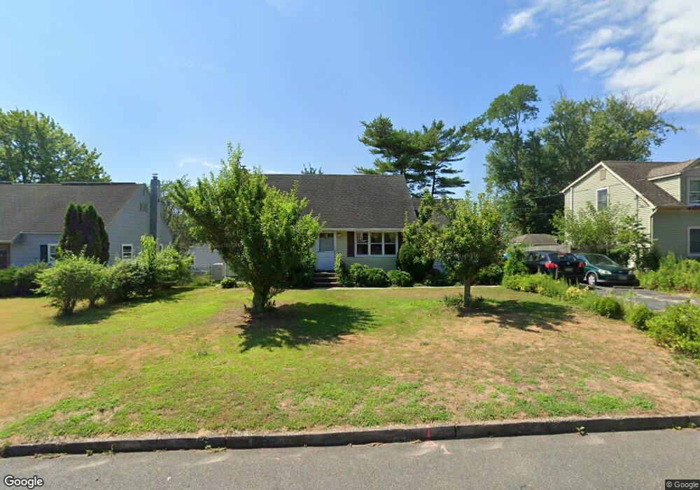
202 Maple Ave Neptune, NJ 07753
Estimated Value: $611,000 - $663,000
About This Home
This home is located at 202 Maple Ave, Neptune, NJ 07753 and is currently estimated at $643,602, approximately $328 per square foot. 202 Maple Ave is a home located in Monmouth County with nearby schools including Neptune High School.
Ownership History
We collect this data history from publicly available records. To have your information removed, we recommend requesting removal directly through your county’s website.
Purchase Details
Home Financials for this Owner
Home Financials are based on the most recent Mortgage that was taken out on this home.Home Values in the Area
Average Home Value in this Area
Purchase History
We collect this data history from publicly available records. To have your information removed, we recommend requesting removal directly through your county’s website.
| Date | Buyer | Sale Price | Title Company |
|---|---|---|---|
| $215,000 | -- |
Mortgage History
We collect this data history from publicly available records. To have your information removed, we recommend requesting removal directly through your county’s website.
| Date | Status | Borrower | Loan Amount |
|---|---|---|---|
| Previous Owner | $193,500 |
Tax History
We collect this data history from publicly available records. To have your information removed, we recommend requesting removal directly through your county’s website.
| Year | Tax Paid | Tax Assessment Tax Assessment Total Assessment is a certain percentage of the fair market value that is determined by local assessors to be the total taxable value of land and additions on the property. | Land | Improvement |
|---|---|---|---|---|
| 2025 | $9,823 | $577,000 | $255,800 | $321,200 |
| 2024 | $8,387 | $561,000 | $222,400 | $338,600 |
| 2023 | $8,387 | $464,400 | $173,100 | $291,300 |
| 2022 | $7,846 | $436,100 | $152,000 | $284,100 |
| 2021 | $6,645 | $371,300 | $152,900 | $218,400 |
| 2020 | $7,491 | $353,700 | $146,700 | $207,000 |
| 2019 | $6,645 | $309,800 | $115,700 | $194,100 |
| 2018 | $6,692 | $308,400 | $115,700 | $192,700 |
| 2017 | $6,845 | $303,000 | $114,700 | $188,300 |
| 2016 | $6,682 | $295,000 | $109,700 | $185,300 |
| 2015 | $6,216 | $279,100 | $98,300 | $180,800 |
| 2014 | $5,646 | $208,400 | $88,300 | $120,100 |
Map
- 1010 Fordham Rd
- 543 N Riverside Dr
- 401 Old Corlies Ave
- 326 W Sylvania Ave
- 301 Allenhurst Ave
- 585 Wayside Rd
- 325 W Sylvania Ave
- 608 Wayside Rd
- 404 Westwood Place
- 1 Brixton Place
- 707 Prospect Place
- 710 Fletcher Dr
- 467 Lexington Ave
- 8 Knox Blvd
- 2722 W Bangs Ave
- 312 Wilson Rd
- 3 May Place
- 325 Hillside Dr
- 106 Alpine Trail
- 308 Alpine Trail
- 204 Maple Ave
- 200 Maple Ave
- 106 Donald Place
- 206 Maple Ave
- 203 Maple Ave
- 209 Laurel Place
- 201 Maple Ave
- 205 Maple Ave
- 211 Laurel Place
- 198 Maple Ave
- 208 Maple Ave
- 203 Poplar Place
- 199 Maple Ave
- 207 Maple Ave
- 205 Poplar Place
- 105 Donald Place
- 207 Poplar Place
- 213 Laurel Place
- 197 Maple Ave
- 196 Maple Ave
Ask me questions while you tour the home.