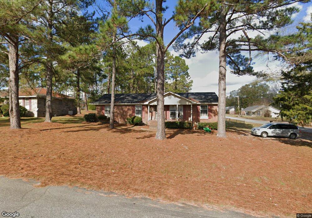
202 Mullis St Sylvester, GA 31791
Estimated Value: $154,000 - $203,000
3
Beds
2
Baths
1,620
Sq Ft
$113/Sq Ft
Est. Value
About This Home
This home is located at 202 Mullis St, Sylvester, GA 31791 and is currently estimated at $182,799, approximately $112 per square foot. 202 Mullis St is a home located in Worth County with nearby schools including Worth County Primary School, Worth County Elementary School, and Worth County Middle School.
Ownership History
Date
Name
Owned For
Owner Type
Purchase Details
Closed on
Dec 7, 2016
Bought by
Flying Jack Rental Properti
Current Estimated Value
Home Financials for this Owner
Home Financials are based on the most recent Mortgage that was taken out on this home.
Original Mortgage
$160,855
Interest Rate
3.57%
Mortgage Type
New Conventional
Purchase Details
Closed on
Jan 29, 2010
Sold by
Pendley Larry F
Bought by
Pendley Real Estate Llc
Create a Home Valuation Report for This Property
The Home Valuation Report is an in-depth analysis detailing your home's value as well as a comparison with similar homes in the area
Home Values in the Area
Average Home Value in this Area
Purchase History
| Date | Buyer | Sale Price | Title Company |
|---|---|---|---|
| Flying Jack Rental Properti | $49,000 | -- | |
| Pendley Real Estate Llc | -- | -- |
Source: Public Records
Mortgage History
| Date | Status | Borrower | Loan Amount |
|---|---|---|---|
| Closed | Flying Jack Rental Properti | $160,855 |
Source: Public Records
Tax History
| Year | Tax Paid | Tax Assessment Tax Assessment Total Assessment is a certain percentage of the fair market value that is determined by local assessors to be the total taxable value of land and additions on the property. | Land | Improvement |
|---|---|---|---|---|
| 2025 | $1,870 | $68,193 | $10,000 | $58,193 |
| 2024 | $1,350 | $36,546 | $6,935 | $29,611 |
| 2023 | $1,350 | $36,546 | $6,935 | $29,611 |
| 2022 | $1,315 | $36,546 | $6,935 | $29,611 |
| 2021 | $1,312 | $36,546 | $6,935 | $29,611 |
| 2020 | $1,314 | $36,546 | $6,935 | $29,611 |
| 2019 | $1,312 | $36,546 | $6,935 | $29,611 |
| 2018 | $1,239 | $36,546 | $6,935 | $29,611 |
| 2017 | $1,239 | $36,546 | $6,935 | $29,611 |
| 2016 | $1,312 | $36,546 | $6,935 | $29,611 |
| 2015 | $1,241 | $36,546 | $6,935 | $29,611 |
| 2014 | $1,241 | $36,546 | $6,935 | $29,611 |
| 2013 | -- | $36,546 | $6,935 | $29,611 |
| 2012 | -- | $36,546 | $6,935 | $29,611 |
Source: Public Records
Map
Nearby Homes
- 801 N Washington St
- 707 N Washington St
- 605 W Price St
- 0 W Pinson St Unit 10582366
- 602 N Isabella St
- 1001 Cordele Rd
- 203 E Pinson St
- 100 Carriage Ln
- 103 N Ayers St
- 154 Park Place
- 107 Gardner Rd
- 307 E Pope St
- 111 Sumner St
- 402 N McPhaul St
- 19X Largemouth Dr
- 112 Creekwood Cir
- 202 N Westberry St
- 120 Donna Dr
- 0 Pope St Unit 141361
- 301 Shipp Ln
Your Personal Tour Guide
Ask me questions while you tour the home.