Estimated Value: $179,000 - $339,000
3
Beds
1
Bath
1,212
Sq Ft
$235/Sq Ft
Est. Value
About This Home
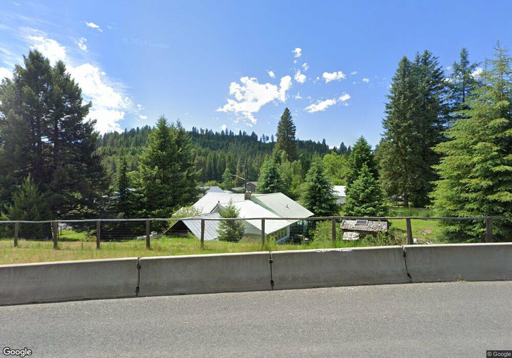
This home is located at 202 Randall Flat Rd, Troy, ID 83871 and is currently estimated at $284,968, approximately $235 per square foot. 202 Randall Flat Rd is a home located in Latah County with nearby schools including Troy Elementary School and Troy Junior/Senior High School.
Ownership History
Date
Name
Owned For
Owner Type
Purchase Details
Closed on
Nov 22, 2019
Sold by
Arnett Rickie L and Arnett Diana G
Bought by
Stormo Grant
Current Estimated Value
Purchase Details
Closed on
Jul 21, 2009
Sold by
Gilder Anita and Estate Of Jessie Nadine And Cl
Bought by
Stormo Grant E
Home Financials for this Owner
Home Financials are based on the most recent Mortgage that was taken out on this home.
Original Mortgage
$68,000
Interest Rate
5.37%
Mortgage Type
New Conventional
Create a Home Valuation Report for This Property
The Home Valuation Report is an in-depth analysis detailing your home's value as well as a comparison with similar homes in the area
Purchase History
| Date | Buyer | Sale Price | Title Company |
|---|---|---|---|
| Stormo Grant | -- | Moscow Title Inc | |
| Stormo Grant E | -- | -- |
Source: Public Records
Mortgage History
| Date | Status | Borrower | Loan Amount |
|---|---|---|---|
| Previous Owner | Stormo Grant E | $68,000 |
Source: Public Records
Tax History
| Year | Tax Paid | Tax Assessment Tax Assessment Total Assessment is a certain percentage of the fair market value that is determined by local assessors to be the total taxable value of land and additions on the property. | Land | Improvement |
|---|---|---|---|---|
| 2025 | $913 | $209,763 | $38,700 | $171,063 |
| 2024 | $913 | $209,761 | $38,700 | $171,061 |
| 2023 | $866 | $209,761 | $38,700 | $171,061 |
| 2022 | $1,044 | $173,593 | $35,200 | $138,393 |
| 2021 | $1,405 | $136,259 | $35,200 | $101,059 |
| 2020 | $1,039 | $119,207 | $32,000 | $87,207 |
| 2019 | $1,047 | $111,666 | $32,000 | $79,666 |
| 2018 | $1,075 | $107,896 | $32,000 | $75,896 |
| 2017 | $1,100 | $107,896 | $32,000 | $75,896 |
| 2016 | $1,040 | $0 | $0 | $0 |
| 2014 | $977 | $95,851 | $32,000 | $63,851 |
Source: Public Records
Map
Nearby Homes
- 504 Mark Rd
- 107 E A St
- 111 E A St
- 216 S Main St
- 300 Big Meadow Rd
- 411 S Pine St
- 415 S Pine St
- 705 Rachel St
- 813 S Bentz St
- TBD Burnt Ridge Rd Parcel 1
- 1031 Spring Valley Rd
- TBD Burnt Ridge Rd Parcel 2
- 000 Spring Valley Rd
- 1021 Claypit Rd
- 3611 Highway 8
- TBD Hill Rd Parcel 1
- 1755 Genesee Troy Rd
- 1003 Katnook Ln
- 3336 Highway 8 Unit 2
- TBD
- 204 Randall Flat Rd
- 100 Big Meadow Rd
- 201 N Randall Flat Rd
- 109 N Front St
- 111 N Front St
- 207 N Main St
- 205 Randall Flat Rd
- 107 N Front St
- 115 W B St
- 102 Big Meadow Rd
- 107 W A St
- 301 Michael Dr
- 104 W A St Unit 6
- 104 106 W A St Unit 104 & 106
- 104 Big Meadow Rd
- 210 Randall Flat Rd
- 112 N Front St
- 110 N Front St
- 105 N Front St
- 105 N Front St
Your Personal Tour Guide
Ask me questions while you tour the home.