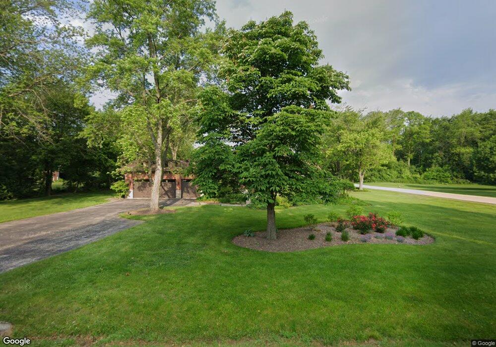
202 Roberts Rd Inverness, IL 60067
Inverness AreaEstimated Value: $710,000 - $1,063,000
About This Home
This home is located at 202 Roberts Rd, Inverness, IL 60067 and is currently estimated at $938,011, approximately $347 per square foot. 202 Roberts Rd is a home located in Cook County with nearby schools including Thomas Jefferson Elementary School, Frank C. Whiteley Elementary School, and William Fremd High School.
Ownership History
We collect this data history from publicly available records. To have your information removed, we recommend requesting removal directly through your county’s website.
Purchase Details
Home Financials for this Owner
Home Financials are based on the most recent Mortgage that was taken out on this home.Home Values in the Area
Average Home Value in this Area
Purchase History
We collect this data history from publicly available records. To have your information removed, we recommend requesting removal directly through your county’s website.
| Date | Buyer | Sale Price | Title Company |
|---|---|---|---|
| $500,000 | First American Title |
Mortgage History
We collect this data history from publicly available records. To have your information removed, we recommend requesting removal directly through your county’s website.
| Date | Status | Borrower | Loan Amount |
|---|---|---|---|
| Open | $450,000 |
Tax History
We collect this data history from publicly available records. To have your information removed, we recommend requesting removal directly through your county’s website.
| Year | Tax Paid | Tax Assessment Tax Assessment Total Assessment is a certain percentage of the fair market value that is determined by local assessors to be the total taxable value of land and additions on the property. | Land | Improvement |
|---|---|---|---|---|
| 2025 | $19,865 | $89,000 | $13,460 | $75,540 |
| 2024 | $19,865 | $70,983 | $11,217 | $59,766 |
| 2023 | $19,257 | $70,983 | $11,217 | $59,766 |
| 2022 | $19,257 | $70,983 | $11,217 | $59,766 |
| 2021 | $18,458 | $61,168 | $7,851 | $53,317 |
| 2020 | $18,116 | $61,168 | $7,851 | $53,317 |
| 2019 | $17,796 | $67,589 | $7,851 | $59,738 |
| 2018 | $19,832 | $69,800 | $6,730 | $63,070 |
| 2017 | $19,406 | $69,800 | $6,730 | $63,070 |
| 2016 | $18,364 | $69,800 | $6,730 | $63,070 |
| 2015 | $17,637 | $62,086 | $7,851 | $54,235 |
| 2014 | $17,365 | $62,086 | $7,851 | $54,235 |
| 2013 | $16,816 | $62,086 | $7,851 | $54,235 |
Map
- 2215 Palatine Rd
- 14 Carnoustie Ln
- 2072 Palatine Rd
- 4255 Dixon Dr
- 4590 Topaz Dr
- 2038 Camphill Cir
- 1005 W Firestone Dr
- 1986 Camphill Cir
- 4515 Opal Dr
- 210 S Haman Rd
- 1341 W Sturbridge Dr
- 1485 Westbury Dr
- 144 Highland Rd
- 354 Ela Rd
- 4140 Portage Ln
- 1812 Prestwick Dr
- 5039 Chambers Dr
- 4692 N Sapphire Dr
- 1842 Thomas Atkinson Rd
- 4691 Huntington Blvd
Ask me questions while you tour the home.