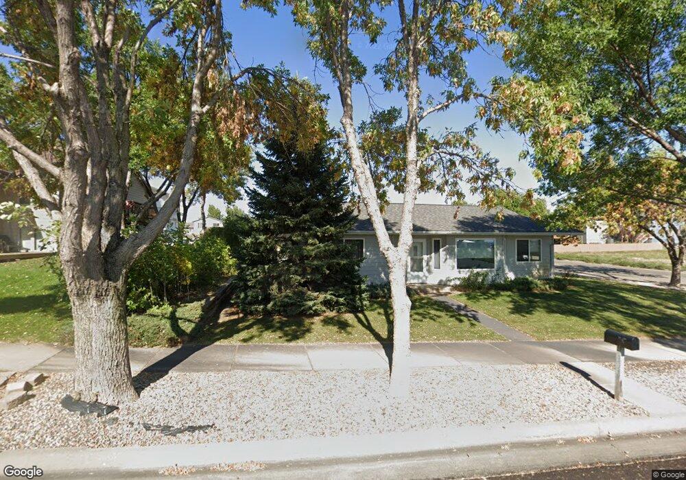
2020 Kennedy Dr Pierre, SD 57501
Estimated Value: $305,387 - $414,000
4
Beds
2
Baths
2,136
Sq Ft
$168/Sq Ft
Est. Value
About This Home
This home is located at 2020 Kennedy Dr, Pierre, SD 57501 and is currently estimated at $359,347, approximately $168 per square foot. 2020 Kennedy Dr is a home with nearby schools including T.F. Riggs High School and Pierre SDA School.
Ownership History
Date
Name
Owned For
Owner Type
Purchase Details
Closed on
Apr 19, 2012
Sold by
Gloe Kara L and Christoffersen Neils
Bought by
Brio Llc
Current Estimated Value
Home Financials for this Owner
Home Financials are based on the most recent Mortgage that was taken out on this home.
Original Mortgage
$130,000
Outstanding Balance
$90,131
Interest Rate
3.99%
Estimated Equity
$269,216
Purchase Details
Closed on
Jun 6, 2006
Sold by
Hartog Iona K
Bought by
Gloe Kara L
Home Financials for this Owner
Home Financials are based on the most recent Mortgage that was taken out on this home.
Original Mortgage
$147,250
Interest Rate
6.72%
Create a Home Valuation Report for This Property
The Home Valuation Report is an in-depth analysis detailing your home's value as well as a comparison with similar homes in the area
Home Values in the Area
Average Home Value in this Area
Purchase History
We collect this data history from publicly available records. To have your information removed, we recommend requesting removal directly through your county’s website.
| Date | Buyer | Sale Price | Title Company |
|---|---|---|---|
| Brio Llc | $172,000 | -- | |
| Gloe Kara L | $155,000 | -- |
Source: Public Records
Mortgage History
We collect this data history from publicly available records. To have your information removed, we recommend requesting removal directly through your county’s website.
| Date | Status | Borrower | Loan Amount |
|---|---|---|---|
| Open | Brio Llc | $130,000 | |
| Previous Owner | Gloe Kara L | $147,250 |
Source: Public Records
Tax History
| Year | Tax Paid | Tax Assessment Tax Assessment Total Assessment is a certain percentage of the fair market value that is determined by local assessors to be the total taxable value of land and additions on the property. | Land | Improvement |
|---|---|---|---|---|
| 2025 | $4,187 | $285,223 | $50,591 | $234,632 |
| 2024 | $4,226 | $274,050 | $50,591 | $223,459 |
| 2023 | $3,843 | $266,421 | $48,412 | $218,009 |
| 2022 | $3,604 | $227,781 | $46,107 | $181,674 |
| 2021 | $3,540 | $203,376 | $41,167 | $162,209 |
| 2020 | $3,607 | $197,452 | $39,968 | $157,484 |
| 2019 | $3,607 | $197,452 | $39,968 | $157,484 |
| 2018 | $3,461 | $191,701 | $38,804 | $152,897 |
| 2017 | -- | $182,572 | $36,956 | $145,616 |
| 2016 | $3,718 | $182,572 | $36,956 | $145,616 |
| 2015 | -- | $177,255 | $35,880 | $141,375 |
| 2014 | -- | $172,092 | $34,835 | $137,257 |
| 2013 | -- | $172,092 | $34,835 | $137,257 |
| 2011 | -- | $173,995 | $34,835 | $139,160 |
Source: Public Records
Map
Nearby Homes
- 102 Village Dr
- 109 Baja Dr
- 2105 Buffalo St
- 0 Woodview Dr
- 404 Yucca Dr
- 131 Hampton Dr
- 130 Hampton Dr
- 700 N Taylor Ave
- 2004 Buffalo St
- Lot 13R N Garfield Ave
- 828 Cherry Dr
- 313 N Taylor Ave
- 1606 Hilltop Dr
- 2400 E Capitol Ave
- 1217 Hilgers Dr
- 1600 E Cabot St
- 2013 Ridgeway Place
- 303 N Jackson Ave
- 2415 E Franklin St
- 1814 Camden Ct
- 2108 Flag Mountain Dr
- 1932 Riggs Dr
- 2252 Flag Mountain Dr
- 1928 Riggs Dr
- 2104 Flag Mountain Dr
- 1927 Riggs Dr
- 101 Village Dr
- 1923 Riggs Dr
- 2100 Flag Mountain Dr
- 1924 Riggs Dr
- 103 Village Dr
- 1911 Riggs Dr
- 101 Sheila Dr
- 103 Sheila Dr
- 100 Village Dr
- 105 Village Dr
- 105 Sheila Dr
- 1917 Riggs Dr
- 1828 Kennedy Dr
- 2008 Flag Mountain Dr
Your Personal Tour Guide
Ask me questions while you tour the home.