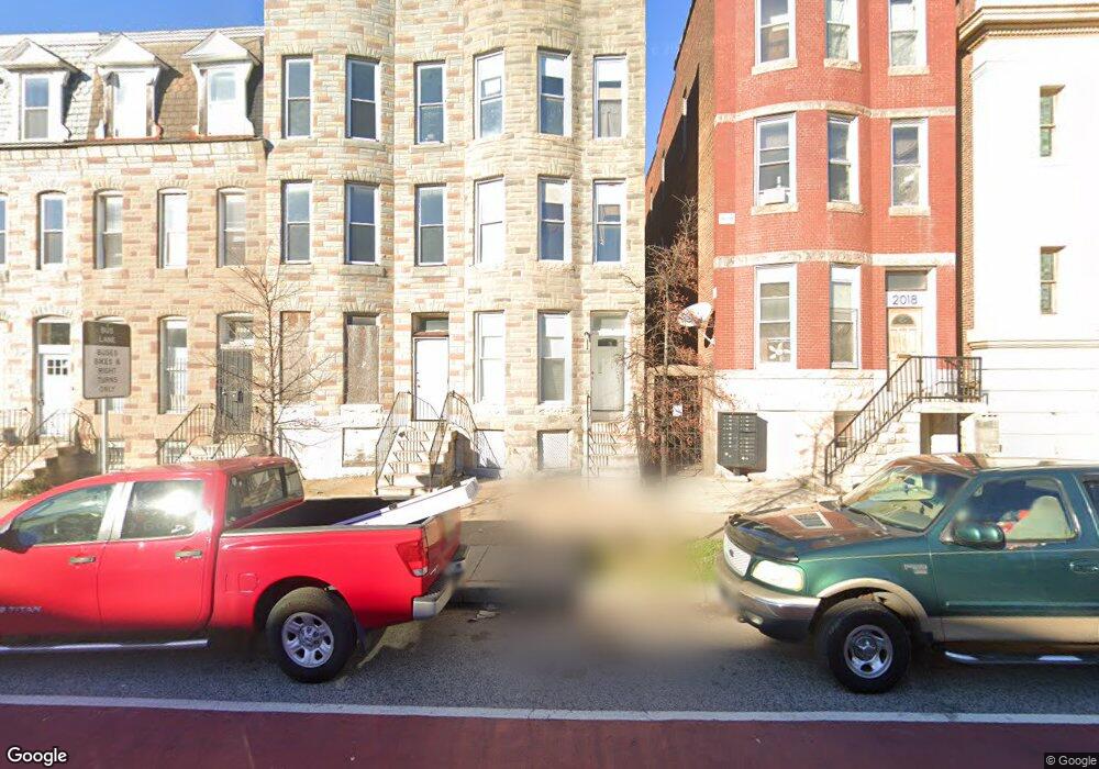
2020 W North Ave Baltimore, MD 21217
Mondawmin NeighborhoodEstimated Value: $111,000 - $145,908
1
Bed
--
Bath
--
Sq Ft
1,350
Sq Ft Lot
About This Home
Property Id: 1456447
Updated rooming house with available room for rent with bathroom and shared kitchen. Includes all utilities and a small refrigerator inside room. Bathroom is shared with one other tenant. Laundry facilities onsite. House is well maintained with regular cleaning and extermination and is located steps from public transportation. Proof of employment required.
Ownership History
Date
Name
Owned For
Owner Type
Purchase Details
Closed on
Jul 14, 2021
Sold by
Price Robin and Wilkens Dionte
Bought by
Bma Property Group Llc
Current Estimated Value
Home Financials for this Owner
Home Financials are based on the most recent Mortgage that was taken out on this home.
Original Mortgage
$104,800
Interest Rate
2.8%
Mortgage Type
Purchase Money Mortgage
Create a Home Valuation Report for This Property
The Home Valuation Report is an in-depth analysis detailing your home's value as well as a comparison with similar homes in the area
Home Values in the Area
Average Home Value in this Area
Purchase History
| Date | Buyer | Sale Price | Title Company |
|---|---|---|---|
| Bma Property Group Llc | $115,000 | Eagle Premier Title Group |
Source: Public Records
Mortgage History
| Date | Status | Borrower | Loan Amount |
|---|---|---|---|
| Previous Owner | Bma Property Group Llc | $104,800 |
Source: Public Records
Property History
| Date | Event | Price | List to Sale | Price per Sq Ft |
|---|---|---|---|---|
| 12/11/2024 12/11/24 | Off Market | $650 | -- | -- |
| 11/21/2024 11/21/24 | For Rent | $650 | -- | -- |
Tax History
| Year | Tax Paid | Tax Assessment Tax Assessment Total Assessment is a certain percentage of the fair market value that is determined by local assessors to be the total taxable value of land and additions on the property. | Land | Improvement |
|---|---|---|---|---|
| 2025 | $1,840 | $110,000 | $25,000 | $85,000 |
| 2024 | $1,840 | $78,333 | -- | -- |
| 2023 | $1,096 | $46,667 | $0 | $0 |
| 2022 | $354 | $15,000 | $3,000 | $12,000 |
| 2021 | $347 | $14,700 | $0 | $0 |
| 2020 | $340 | $14,400 | $0 | $0 |
| 2019 | $331 | $14,100 | $3,000 | $11,100 |
| 2018 | $333 | $14,100 | $3,000 | $11,100 |
| 2017 | $333 | $14,100 | $0 | $0 |
| 2016 | $497 | $21,000 | $0 | $0 |
| 2015 | $497 | $21,000 | $0 | $0 |
| 2014 | $497 | $21,000 | $0 | $0 |
Source: Public Records
Map
Nearby Homes
- 1926 N Payson St
- 1815 N Pulaski St
- 1812 N Payson St
- 2032 Walbrook Ave
- 2006 Walbrook Ave
- 1802 N Payson St
- 1800 N Payson St
- 2109 Ridgehill Ave
- 1819 N Smallwood St
- 2011 N Payson St
- 1724 N Payson St
- 2111 Westwood Ave
- 1717 N Pulaski St
- 2115 Westwood Ave
- 1812 N Smallwood St
- 1908 Walbrook Ave
- 2019 N Smallwood St
- 1706 Appleton St
- 1726 N Smallwood St
- 1828 Walbrook Ave
- 2022 W North Ave
- 2018 W North Ave
- 2018 W North Ave Unit 2
- 2024 W North Ave
- 2016 W North Ave
- 2026 W North Ave
- 2028 W North Ave
- 2030 W North Ave
- 2023 Herbert St
- 2025 Herbert St
- 2032 W North Ave
- 2027 Herbert St
- 2029 Herbert St
- 2010 W North Ave
- 2034 W North Ave
- 2008 W North Ave
- 2036 W North Ave
- 1901 N Pulaski St
- 1903 N Pulaski St
- 2006 W North Ave
Your Personal Tour Guide
Ask me questions while you tour the home.