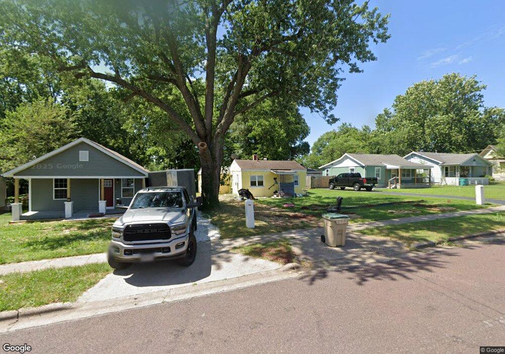
2020 W Olive St Springfield, MO 65802
Westside NeighborhoodEstimated Value: $58,090 - $173,000
3
Beds
2
Baths
480
Sq Ft
$212/Sq Ft
Est. Value
About This Home
This home is located at 2020 W Olive St, Springfield, MO 65802 and is currently estimated at $101,523, approximately $211 per square foot. 2020 W Olive St is a home located in Greene County with nearby schools including Central High School, St. Joseph Elementary School, and St. Agnes Cathedral School.
Ownership History
Date
Name
Owned For
Owner Type
Purchase Details
Closed on
Mar 20, 2006
Sold by
Cole Joyce M
Bought by
Hare Geoffrey Kent
Current Estimated Value
Home Financials for this Owner
Home Financials are based on the most recent Mortgage that was taken out on this home.
Original Mortgage
$18,400
Outstanding Balance
$10,442
Interest Rate
6.24%
Mortgage Type
Future Advance Clause Open End Mortgage
Estimated Equity
$91,081
Purchase Details
Closed on
Aug 9, 2004
Sold by
Hestee Charles M
Bought by
Cole Joyce M
Create a Home Valuation Report for This Property
The Home Valuation Report is an in-depth analysis detailing your home's value as well as a comparison with similar homes in the area
Home Values in the Area
Average Home Value in this Area
Purchase History
| Date | Buyer | Sale Price | Title Company |
|---|---|---|---|
| Hare Geoffrey Kent | -- | Fidelity Title Agency | |
| Cole Joyce M | -- | None Available | |
| Cole Joyce M | -- | None Available | |
| Cole Joyce M | $16,000 | None Available |
Source: Public Records
Mortgage History
| Date | Status | Borrower | Loan Amount |
|---|---|---|---|
| Open | Cole Joyce M | $18,400 | |
| Closed | Cole Joyce M | $18,400 |
Source: Public Records
Tax History
| Year | Tax Paid | Tax Assessment Tax Assessment Total Assessment is a certain percentage of the fair market value that is determined by local assessors to be the total taxable value of land and additions on the property. | Land | Improvement |
|---|---|---|---|---|
| 2025 | $437 | $8,780 | $3,800 | $4,980 |
| 2024 | $344 | $6,420 | $2,280 | $4,140 |
| 2023 | $342 | $6,420 | $2,280 | $4,140 |
| 2022 | $333 | $6,100 | $2,280 | $3,820 |
| 2021 | $333 | $6,100 | $2,280 | $3,820 |
| 2020 | $342 | $5,990 | $2,280 | $3,710 |
| 2019 | $332 | $5,990 | $2,280 | $3,710 |
| 2018 | $314 | $5,660 | $1,900 | $3,760 |
| 2017 | $311 | $5,850 | $1,900 | $3,950 |
| 2016 | $321 | $5,850 | $1,900 | $3,950 |
| 2015 | $318 | $5,850 | $1,900 | $3,950 |
| 2014 | $320 | $5,850 | $1,900 | $3,950 |
Source: Public Records
Map
Nearby Homes
- 2025 W Walnut St
- 1823 W Olive St
- 2007 W Water St
- 1740 W Olive St
- 2041 W Elm St
- 1808 W Walnut St
- 2200 W Phelps St
- 2223 W Elm St
- 2157 W Phelps St
- 1813 W Lincoln St
- 2323 W Walnut St
- 622 N Lafontaine Ave
- 2423 W Olive St
- 503 S Forest Ct
- 521 N Warren Ave
- 659 N Lafontaine Ave
- 357 N West Ave
- 2150 W Chestnut St
- 3220 W Chestnut St
- 1816 W Chestnut St
- 2026 W Olive St
- 2010 W Olive St
- 2030 W Olive St
- 2006 W Olive St
- 2036 W Olive St
- 2002 W Olive St
- 2025 W College St
- 214 N Marion Ave
- 2009 W College St
- 2029 W College St
- 2021 W Olive St
- 2005 W College St
- 2013 W Olive St
- 2035 W College St
- 2001 W College St
- 2035 W Olive St
- 2041 W College St
- 1924 W Olive St
- 2001 W Olive St
- 1929 W College St
Your Personal Tour Guide
Ask me questions while you tour the home.