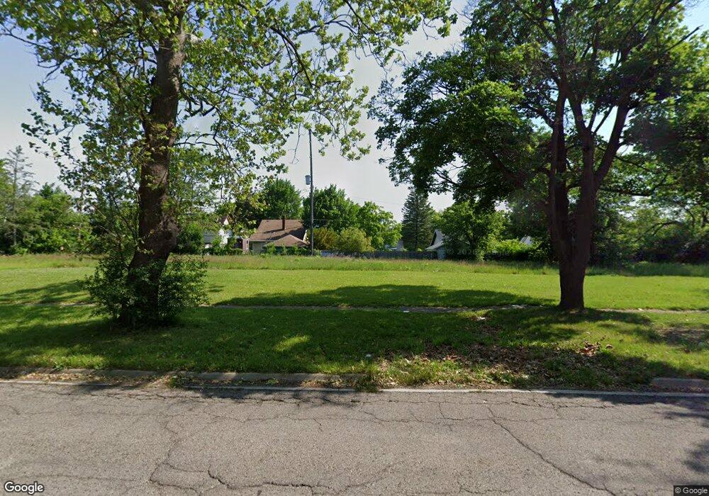
2022 Mackin Rd Flint, MI 48504
Metawanne Hills NeighborhoodEstimated Value: $46,000 - $248,000
3
Beds
1
Bath
1,105
Sq Ft
$133/Sq Ft
Est. Value
About This Home
This home is located at 2022 Mackin Rd, Flint, MI 48504 and is currently estimated at $147,000, approximately $133 per square foot. 2022 Mackin Rd is a home located in Genesee County with nearby schools including Brownell STEM Academy, St John Vianney Catholic School, and St. Paul Lutheran School.
Ownership History
Date
Name
Owned For
Owner Type
Purchase Details
Closed on
Nov 19, 2013
Sold by
State Of Michigan
Bought by
Genesee County Land Bank Authority
Current Estimated Value
Purchase Details
Closed on
Nov 8, 2013
Sold by
Genesee County Land Bank Authority
Bought by
State Of Michigan and Land Bank Fast Track Authority
Purchase Details
Closed on
Dec 20, 2012
Sold by
Cherry Deborah L
Bought by
Genesee County Land Bank
Purchase Details
Closed on
Oct 23, 2001
Sold by
Kilgo Leo John and Kilgo Mari E
Bought by
Tyler Archie and Tyler Barbara J
Home Financials for this Owner
Home Financials are based on the most recent Mortgage that was taken out on this home.
Original Mortgage
$27,000
Interest Rate
6.62%
Mortgage Type
Purchase Money Mortgage
Create a Home Valuation Report for This Property
The Home Valuation Report is an in-depth analysis detailing your home's value as well as a comparison with similar homes in the area
Home Values in the Area
Average Home Value in this Area
Purchase History
We collect this data history from publicly available records. To have your information removed, we recommend requesting removal directly through your county’s website.
| Date | Buyer | Sale Price | Title Company |
|---|---|---|---|
| Genesee County Land Bank Authority | -- | None Available | |
| State Of Michigan | -- | None Available | |
| Genesee County Land Bank | -- | None Available | |
| Tyler Archie | $10,139 | -- |
Source: Public Records
Mortgage History
We collect this data history from publicly available records. To have your information removed, we recommend requesting removal directly through your county’s website.
| Date | Status | Borrower | Loan Amount |
|---|---|---|---|
| Previous Owner | Tyler Archie | $27,000 |
Source: Public Records
Tax History
| Year | Tax Paid | Tax Assessment Tax Assessment Total Assessment is a certain percentage of the fair market value that is determined by local assessors to be the total taxable value of land and additions on the property. | Land | Improvement |
|---|---|---|---|---|
| 2025 | -- | $0 | $0 | $0 |
| 2024 | -- | $0 | $0 | $0 |
| 2023 | -- | $0 | $0 | $0 |
| 2022 | $0 | $0 | $0 | $0 |
| 2021 | $0 | $0 | $0 | $0 |
| 2020 | $0 | $0 | $0 | $0 |
| 2019 | $0 | $0 | $0 | $0 |
| 2018 | $0 | $0 | $0 | $0 |
| 2017 | $0 | $0 | $0 | $0 |
| 2016 | $0 | $0 | $0 | $0 |
| 2015 | -- | $0 | $0 | $0 |
| 2014 | -- | $0 | $0 | $0 |
| 2012 | -- | $7,000 | $0 | $0 |
Source: Public Records
Map
Nearby Homes
- 2001 Mackin Rd
- 2309 Barth St
- 2302 Mallery St
- 2434 Mackin Rd
- 1717 Wolcott St
- 1717 Stevenson St
- 2410 Sloan St
- 1651 N Chevrolet Ave
- 1908 Raskob St
- 2424 Begole St
- 1645 Seminole St
- 2612 Concord St
- 1220 Forest Hill Ave
- 2622 Concord St
- 1601 Forest Hill Ave
- 606 Stockdale St
- 1402 Lavender Ave
- 1315 Welch Blvd
- 1909 Proctor Ave
- 815 Marquette St
Your Personal Tour Guide
Ask me questions while you tour the home.