2026 E Main St Unit 1 Madison, WI 53704
Atwood NeighborhoodEstimated Value: $438,000 - $487,339
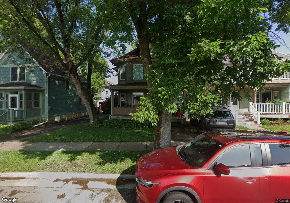
About This Home
This home is located at 2026 E Main St Unit 1, Madison, WI 53704 and is currently estimated at $460,835, approximately $237 per square foot. 2026 E Main St Unit 1 is a home located in Dane County with nearby schools including Lapham Elementary School, O'Keeffe Middle, and East High School.
Ownership History
We collect this data history from publicly available records. To have your information removed, we recommend requesting removal directly through your county’s website.
Purchase Details
Purchase Details
Home Financials for this Owner
Home Financials are based on the most recent Mortgage that was taken out on this home.Home Values in the Area
Average Home Value in this Area
Purchase History
We collect this data history from publicly available records. To have your information removed, we recommend requesting removal directly through your county’s website.
| Date | Buyer | Sale Price | Title Company |
|---|---|---|---|
| $6,500 | None Available | ||
| $207,000 | None Available | ||
| -- | None Available |
Mortgage History
We collect this data history from publicly available records. To have your information removed, we recommend requesting removal directly through your county’s website.
| Date | Status | Borrower | Loan Amount |
|---|---|---|---|
| Previous Owner | $31,000 | ||
| Previous Owner | $165,500 |
Tax History
We collect this data history from publicly available records. To have your information removed, we recommend requesting removal directly through your county’s website.
| Year | Tax Paid | Tax Assessment Tax Assessment Total Assessment is a certain percentage of the fair market value that is determined by local assessors to be the total taxable value of land and additions on the property. | Land | Improvement |
|---|---|---|---|---|
| 2025 | $7,868 | $426,600 | $68,400 | $358,200 |
| 2024 | $13,691 | $391,400 | $68,400 | $323,000 |
| 2023 | $6,598 | $365,800 | $68,400 | $297,400 |
| 2022 | $13,253 | $338,700 | $63,300 | $275,400 |
| 2021 | $6,246 | $294,500 | $60,300 | $234,200 |
| 2020 | $6,048 | $272,700 | $55,800 | $216,900 |
| 2019 | $5,960 | $259,700 | $49,400 | $210,300 |
| 2018 | $5,574 | $242,700 | $49,400 | $193,300 |
| 2017 | $5,402 | $226,800 | $41,200 | $185,600 |
| 2016 | $5,293 | $216,000 | $41,200 | $174,800 |
| 2015 | $4,902 | $199,700 | $41,200 | $158,500 |
| 2014 | $4,760 | $199,700 | $41,200 | $158,500 |
| 2013 | $4,347 | $192,000 | $39,600 | $152,400 |
Map
- 2027 E Washington Ave
- 2031 E Washington Ave
- 107 Sutherland Ct Unit 323
- 1944 E Washington Ave
- 1940 E Washington Ave
- 2109 E Dayton St
- 1913 E Washington Ave Unit 1
- 2146 Winnebago St
- 2205 E Washington Ave
- 217 N 3rd St
- 222 N 3rd St
- 2105 E Johnson St
- 2129 E Johnson St Unit 1
- 280 Division St Unit 301
- 2138 E Johnson St Unit 1
- 130 N 5th St
- 2210 Lafollette Ave
- 217 N 6th St Unit 2
- 2314 Center Ave
- 44 N Lakewood Gardens Ln
- 2015 E Washington Ave Unit 1
- 2011 E Washington Ave Unit 1
- 2019 E Washington Ave Unit 5
- 2009 E Washington Ave
- 2005 E Washington Ave Unit 2
- 2023 E Washington Ave
- 2021 E Washington Ave Unit 1
- 2001 E Washington Ave
- 11 S 2nd St
- 2027 E Washington Ave Unit 1
- 2027 E Washington Ave
- 2018 E Main St
- 2022 E Main St Unit 1
- 2010 E Main St
- 2031 E Washington Ave Unit 1
- 2014 E Washington Ave
- 2010 E Washington Ave
- 2018 E Washington Ave
- 2024 E Main St
- 2006 E Washington Ave
Ask me questions while you tour the home.