Estimated Value: $100,000 - $187,000
Studio
--
Bath
1,626
Sq Ft
$88/Sq Ft
Est. Value
About This Home
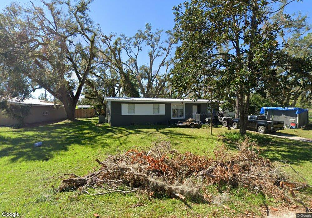
This home is located at 203 Cypress Rd, Perry, FL 32348 and is currently estimated at $143,160, approximately $88 per square foot. 203 Cypress Rd is a home located in Taylor County with nearby schools including Perry Primary School, Taylor County Elementary School, and Taylor County Middle School.
Ownership History
Date
Name
Owned For
Owner Type
Purchase Details
Closed on
Jan 20, 2010
Sold by
Amundsen Paula C
Bought by
Amundsen Paula C
Current Estimated Value
Purchase Details
Closed on
Oct 14, 2009
Sold by
Amundsen Paula C
Bought by
Amundsen Paula C and Calafiore Paul
Purchase Details
Closed on
Oct 26, 2004
Sold by
Citifinancial Equity Services Inc
Bought by
Amundsen Paula C
Purchase Details
Closed on
Jun 24, 2004
Sold by
Wilson Arthur H and Wilson Christie S
Bought by
Citifinancial Equity Services Inc
Create a Home Valuation Report for This Property
The Home Valuation Report is an in-depth analysis detailing your home's value as well as a comparison with similar homes in the area
Home Values in the Area
Average Home Value in this Area
Purchase History
| Date | Buyer | Sale Price | Title Company |
|---|---|---|---|
| Amundsen Paula C | -- | None Listed On Document | |
| Amundsen Paula C | -- | None Available | |
| Amundsen Paula C | $17,500 | Federal Title Ins Assoc Inc | |
| Citifinancial Equity Services Inc | -- | -- |
Source: Public Records
Tax History
| Year | Tax Paid | Tax Assessment Tax Assessment Total Assessment is a certain percentage of the fair market value that is determined by local assessors to be the total taxable value of land and additions on the property. | Land | Improvement |
|---|---|---|---|---|
| 2025 | $775 | $93,060 | $10,000 | $83,060 |
| 2024 | $709 | $93,060 | $10,000 | $83,060 |
| 2023 | $1,259 | $55,720 | $0 | $0 |
| 2022 | $1,135 | $75,460 | $9,350 | $66,110 |
| 2021 | $1,031 | $62,350 | $9,350 | $53,000 |
| 2020 | $856 | $41,880 | $2,380 | $39,500 |
| 2019 | $876 | $42,630 | $2,380 | $40,250 |
| 2018 | $0 | $41,470 | $2,380 | $39,090 |
| 2017 | $867 | $41,770 | $2,380 | $39,390 |
| 2016 | $878 | $42,500 | $2,380 | $40,120 |
| 2015 | $1,010 | $48,620 | $8,500 | $40,120 |
| 2014 | -- | $49,298 | $0 | $0 |
Source: Public Records
Map
Nearby Homes
- 202 Puckett Rd
- 200 Davis Dr
- 102 S Claire Dr
- 805 Judson Dr
- 415 Judson Dr
- 503 Judson Dr
- 150 Houck Rd
- 95 Houck Rd
- 201 State St
- 206 Pineland St
- 823 S Warner Ave
- 1302 S Center St
- 1100 S Wilder St
- Lot 000 U S Highway 19
- 1012 S Orange St
- 106 Crit Jones Dr
- 831 U S 27
- 104 Crit Jones Dr
- 0 US Highway 27 Unit 796363
- 27 Colorado Land and Grazing
Your Personal Tour Guide
Ask me questions while you tour the home.