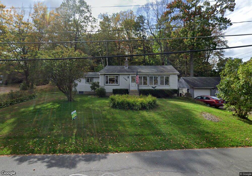
203 E Wakefield Blvd Winsted, CT 06098
Estimated Value: $271,602 - $404,000
About This Home
This home is located at 203 E Wakefield Blvd, Winsted, CT 06098 and is currently estimated at $338,151, approximately $304 per square foot. 203 E Wakefield Blvd is a home located in Litchfield County with nearby schools including Pearson School, Explorations Charter School, and St Anthony School.
Ownership History
We collect this data history from publicly available records. To have your information removed, we recommend requesting removal directly through your county’s website.
Purchase Details
Home Values in the Area
Average Home Value in this Area
Purchase History
We collect this data history from publicly available records. To have your information removed, we recommend requesting removal directly through your county’s website.
| Date | Buyer | Sale Price | Title Company |
|---|---|---|---|
| -- | -- | ||
| -- | -- |
Mortgage History
We collect this data history from publicly available records. To have your information removed, we recommend requesting removal directly through your county’s website.
| Date | Status | Borrower | Loan Amount |
|---|---|---|---|
| Open | $16,000 |
Tax History
We collect this data history from publicly available records. To have your information removed, we recommend requesting removal directly through your county’s website.
| Year | Tax Paid | Tax Assessment Tax Assessment Total Assessment is a certain percentage of the fair market value that is determined by local assessors to be the total taxable value of land and additions on the property. | Land | Improvement |
|---|---|---|---|---|
| 2025 | $3,925 | $134,540 | $40,460 | $94,080 |
| 2024 | $3,665 | $134,540 | $40,460 | $94,080 |
| 2023 | $3,551 | $134,540 | $40,460 | $94,080 |
| 2022 | $3,116 | $92,890 | $29,330 | $63,560 |
| 2021 | $3,116 | $92,890 | $29,330 | $63,560 |
| 2020 | $3,116 | $92,890 | $29,330 | $63,560 |
| 2019 | $3,116 | $92,890 | $29,330 | $63,560 |
| 2018 | $3,116 | $92,890 | $29,330 | $63,560 |
| 2017 | $3,726 | $111,090 | $51,800 | $59,290 |
| 2016 | $3,768 | $112,350 | $51,800 | $60,550 |
| 2015 | $3,674 | $112,350 | $51,800 | $60,550 |
| 2014 | $3,585 | $112,350 | $51,800 | $60,550 |
Map
- 147 E Wakefield Blvd
- 319 White Oak Trail
- 129 E Lake St
- 121 W Wakefield Blvd
- 82-84 Rockwell St
- 107 Birdsall St
- 124 Rockwell St
- 69 Prospect St
- 17 Birdsall St
- 424 E Wakefield Blvd
- 63 Meadow St
- 32 Hubbard St
- 535,538 W Wakefield Blvd
- 77 Hubbard St
- 118 Meadow St
- 99 Hubbard St
- 51 Hinsdale Ave
- 71-73 Wheeler St
- 843-845 (lots - 10A, E Wakefield Blvd
- 605 E Wakefield Blvd
- 207 E Wakefield Blvd
- 214 E Wakefield Blvd
- 203 Perch Rock Trail
- 204 Perch Rock Trail
- 210 E Wakefield Blvd
- 215 E Wakefield Blvd
- 138 Belvedere Ave
- 206 Perch Rock Trail
- 142 Belvedere Ave
- 201 Birch St
- 205 Perch Rock Trail
- 206 E Wakefield Blvd
- 204 E Wakefield Blvd
- 219 E Wakefield Blvd
- 224 E Wakefield Blvd
- 207 Perch Rock Trail
- 222 E Wakefield Blvd
- 208 Perch Rock Trail
- 218 E Wakefield Blvd
- 200 E Wakefield Blvd
Ask me questions while you tour the home.