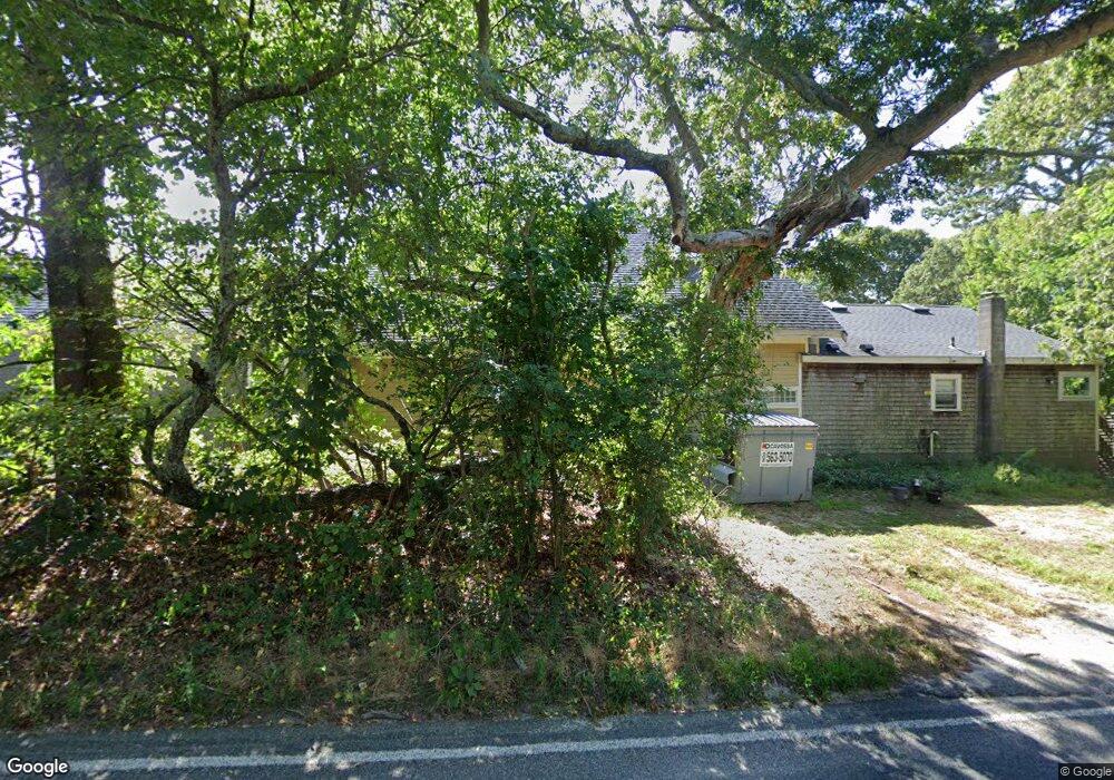
203 Main St Dennis, MA 02638
Dennis Village NeighborhoodEstimated Value: $241,000 - $1,584,000
1
Bed
1
Bath
10,650
Sq Ft
$83/Sq Ft
Est. Value
About This Home
This home is located at 203 Main St, Dennis, MA 02638 and is currently estimated at $880,888, approximately $82 per square foot. 203 Main St is a home located in Barnstable County with nearby schools including Dennis-Yarmouth Regional High School.
Ownership History
Date
Name
Owned For
Owner Type
Purchase Details
Closed on
May 13, 2016
Sold by
Mary L Husband T
Bought by
Husband Priscilla H and Bidwell David J
Current Estimated Value
Purchase Details
Closed on
Feb 13, 2007
Sold by
Husband Ft
Bought by
Mary L Husband T
Purchase Details
Closed on
Apr 6, 2000
Sold by
Connolly Lee J
Bought by
Briarcliffe Motel Llc
Home Financials for this Owner
Home Financials are based on the most recent Mortgage that was taken out on this home.
Original Mortgage
$630,000
Interest Rate
8.3%
Mortgage Type
Purchase Money Mortgage
Purchase Details
Closed on
Mar 29, 1995
Sold by
Smith Richard E
Bought by
Eml Assoc T
Create a Home Valuation Report for This Property
The Home Valuation Report is an in-depth analysis detailing your home's value as well as a comparison with similar homes in the area
Home Values in the Area
Average Home Value in this Area
Purchase History
We collect this data history from publicly available records. To have your information removed, we recommend requesting removal directly through your county’s website.
| Date | Buyer | Sale Price | Title Company |
|---|---|---|---|
| Husband Priscilla H | -- | -- | |
| Mary L Husband T | -- | -- | |
| Mary L Husband T | -- | -- | |
| Briarcliffe Motel Llc | $900,000 | -- | |
| Eml Assoc T | $300,000 | -- |
Source: Public Records
Mortgage History
We collect this data history from publicly available records. To have your information removed, we recommend requesting removal directly through your county’s website.
| Date | Status | Borrower | Loan Amount |
|---|---|---|---|
| Previous Owner | Eml Assoc T | $630,000 | |
| Closed | Eml Assoc T | $100,000 |
Source: Public Records
Tax History
| Year | Tax Paid | Tax Assessment Tax Assessment Total Assessment is a certain percentage of the fair market value that is determined by local assessors to be the total taxable value of land and additions on the property. | Land | Improvement |
|---|---|---|---|---|
| 2025 | $3,251 | $750,900 | $547,600 | $203,300 |
| 2024 | $3,047 | $694,100 | $526,700 | $167,400 |
| 2023 | $3,151 | $674,700 | $536,100 | $138,600 |
| 2022 | $3,220 | $575,000 | $482,900 | $92,100 |
| 2021 | $3,274 | $543,000 | $473,400 | $69,600 |
| 2020 | $3,238 | $530,800 | $475,000 | $55,800 |
| 2019 | $3,588 | $581,600 | $523,900 | $57,700 |
| 2018 | $3,586 | $565,600 | $498,900 | $66,700 |
| 2017 | $2,811 | $457,100 | $390,600 | $66,500 |
| 2016 | $3,733 | $571,700 | $515,400 | $56,300 |
| 2015 | $3,659 | $571,700 | $515,400 | $56,300 |
| 2014 | $3,273 | $515,400 | $515,400 | $0 |
Source: Public Records
Map
Nearby Homes
- 268 Main St
- 59 Main St Unit 7-3
- 59 Main St Unit 20-3
- 59 Main St Unit 19-2
- 59 Route 6a Unit 9-2
- 568 Route 6a
- 1014 Route 6a
- 20 Bray Farm Rd S
- 480 Main St
- 6 Thomas Ct
- 15 Signal Hill Dr
- 946 Route 6a
- 601 Main Street (Route 6a) Route Unit 28
- 54 Kates Path Unit 54
- 132 Kates Path Unit 132
- 59 Cromwell Dr
- 17 Eileen St
- 3120 Heatherwood Unit 3120
- 111 Merchant Ave
- 46 Forest Gate Unit 46
- 203 Route 6a
- 149 S Yarmouth Rd
- 177 Main St
- 156 S Yarmouth Rd
- 152 S Yarmouth Rd
- 170 S Yarmouth Rd
- 223 Main St
- 169 Main St
- 197 Main St
- 197 Main St
- 174 S Yarmouth Rd
- 141 S Yarmouth Rd
- 146 S Yarmouth Rd
- 162 S Yarmouth Rd
- 25 Six Penny Ln
- 215 Main St
- 177 Massachusetts 6a
- 180 S Yarmouth Rd
- 148 Main St
- 142 S Yarmouth Rd
Your Personal Tour Guide
Ask me questions while you tour the home.