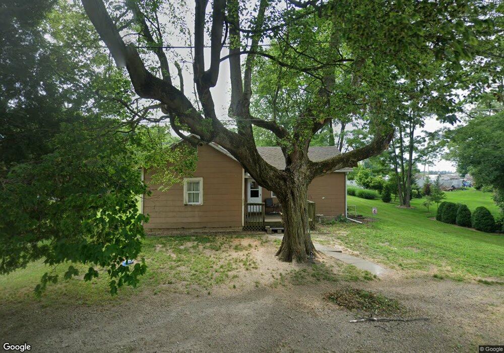
203 Maple St Mount Summit, IN 47361
Estimated Value: $93,000 - $108,000
2
Beds
1
Bath
746
Sq Ft
$137/Sq Ft
Est. Value
About This Home
This home is located at 203 Maple St, Mount Summit, IN 47361 and is currently estimated at $102,316, approximately $137 per square foot. 203 Maple St is a home with nearby schools including Blue River Valley Elementary School and Blue River Valley Junior/Senior High School.
Ownership History
Date
Name
Owned For
Owner Type
Purchase Details
Closed on
Oct 16, 2008
Sold by
Morrison Darren W and Morrison Mollianne
Bought by
Davis Kathy L
Current Estimated Value
Home Financials for this Owner
Home Financials are based on the most recent Mortgage that was taken out on this home.
Original Mortgage
$39,900
Outstanding Balance
$25,960
Interest Rate
6.41%
Mortgage Type
New Conventional
Estimated Equity
$76,356
Purchase Details
Closed on
Dec 20, 2007
Sold by
Citifinanacial Inc
Bought by
Morrison Darren W and Morrison Mollianne
Purchase Details
Closed on
Jul 27, 2007
Sold by
Godfrey William C and Godfrey Janet F
Bought by
Citifinancial Inc
Create a Home Valuation Report for This Property
The Home Valuation Report is an in-depth analysis detailing your home's value as well as a comparison with similar homes in the area
Purchase History
| Date | Buyer | Sale Price | Title Company |
|---|---|---|---|
| Davis Kathy L | -- | None Available | |
| Morrison Darren W | -- | None Available | |
| Citifinancial Inc | $11,900 | None Available |
Source: Public Records
Mortgage History
| Date | Status | Borrower | Loan Amount |
|---|---|---|---|
| Open | Davis Kathy L | $39,900 |
Source: Public Records
Tax History
| Year | Tax Paid | Tax Assessment Tax Assessment Total Assessment is a certain percentage of the fair market value that is determined by local assessors to be the total taxable value of land and additions on the property. | Land | Improvement |
|---|---|---|---|---|
| 2025 | $331 | $65,200 | $12,100 | $53,100 |
| 2024 | $331 | $62,100 | $12,100 | $50,000 |
| 2023 | $288 | $51,200 | $12,100 | $39,100 |
| 2022 | $230 | $47,800 | $9,700 | $38,100 |
| 2021 | $214 | $44,700 | $9,700 | $35,000 |
| 2020 | $250 | $44,700 | $9,700 | $35,000 |
| 2019 | $221 | $44,100 | $9,700 | $34,400 |
| 2018 | $208 | $43,800 | $9,700 | $34,100 |
| 2017 | $160 | $41,300 | $9,700 | $31,600 |
| 2016 | $151 | $40,800 | $9,700 | $31,100 |
| 2014 | $162 | $39,300 | $9,700 | $29,600 |
| 2013 | $162 | $37,900 | $9,700 | $28,200 |
Source: Public Records
Map
Nearby Homes
- 205 Maple St
- 4043 N County Road 100 E
- 3052 N Gary St Unit 132
- 509 W Terry Dr Unit 3
- 1076 E County Road 650 N
- 431 S Hardacre Ct
- 501 S Hardacre Ct
- 200 S East St
- 206 W Main St
- 209 S Jefferson St
- 2200 E County Road 750 N
- 1745 W County Road 200 N
- 2131 E County Road 750 N
- 2136 N West Raintree Dr
- 5** N Memorial Dr
- 2529 E Ridgewood St
- 9029 N State Road 3
- 1820 N 16th St
- 1717 N 23rd St
- *** Luellen Way
- 206 W School St
- 301 W Vine St
- 301 W School St
- 204 W School St
- 207 W School St
- 205 W Vine St
- 107 S Maple St
- 203 Vine St
- 106-106 1/2 S Maple St
- 203 W Vine St
- 202 N Church St
- 105 S Maple St
- 204 S Church Unit Mount Summit
- 204 Church St
- 204 S Church St
- 207 School St
- 104 Maple St
- 200 S Church St
- 103 Maple St
- 202 W Vine St
Your Personal Tour Guide
Ask me questions while you tour the home.