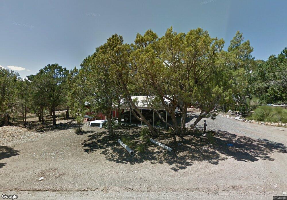
203 N Matt Dillon Trail Central, UT 84722
Estimated Value: $320,736 - $338,000
2
Beds
2
Baths
1,078
Sq Ft
$303/Sq Ft
Est. Value
About This Home
This home is located at 203 N Matt Dillon Trail, Central, UT 84722 and is currently estimated at $326,434, approximately $302 per square foot. 203 N Matt Dillon Trail is a home located in Washington County with nearby schools including Enterprise School and Enterprise High School.
Ownership History
Date
Name
Owned For
Owner Type
Purchase Details
Closed on
Oct 9, 2020
Sold by
Cronebarger James
Bought by
Croneberger James and Mayeux Lisa
Current Estimated Value
Purchase Details
Closed on
Jul 16, 2020
Sold by
Fannie Mae
Bought by
Croneberger James
Home Financials for this Owner
Home Financials are based on the most recent Mortgage that was taken out on this home.
Original Mortgage
$131,250
Interest Rate
4.37%
Mortgage Type
New Conventional
Purchase Details
Closed on
Dec 19, 2019
Sold by
Suriano Rudolph A and Suriano Mary Ann
Bought by
Federal National Mortgage Association
Create a Home Valuation Report for This Property
The Home Valuation Report is an in-depth analysis detailing your home's value as well as a comparison with similar homes in the area
Home Values in the Area
Average Home Value in this Area
Purchase History
| Date | Buyer | Sale Price | Title Company |
|---|---|---|---|
| Croneberger James | -- | Dixie Title Company | |
| Croneberger James | -- | Cottonwood Title Ins Agency | |
| Federal National Mortgage Association | $167,000 | Etitle Insurance Agency |
Source: Public Records
Mortgage History
| Date | Status | Borrower | Loan Amount |
|---|---|---|---|
| Previous Owner | Croneberger James | $131,250 |
Source: Public Records
Tax History
| Year | Tax Paid | Tax Assessment Tax Assessment Total Assessment is a certain percentage of the fair market value that is determined by local assessors to be the total taxable value of land and additions on the property. | Land | Improvement |
|---|---|---|---|---|
| 2025 | $1,013 | $137,500 | $41,250 | $96,250 |
| 2023 | $809 | $136,510 | $41,250 | $95,260 |
| 2022 | $809 | $127,820 | $24,750 | $103,070 |
| 2021 | $1,355 | $177,000 | $35,000 | $142,000 |
| 2020 | $864 | $157,300 | $30,000 | $127,300 |
| 2019 | $1,596 | $150,300 | $30,000 | $120,300 |
| 2016 | $535 | $55,330 | $0 | $0 |
Source: Public Records
Map
Nearby Homes
- 183 N Matt Dillon Trail
- 131 N Butch Cassidy Trail
- 65 N Butch Cassidy Trail
- 380 W Butch Cassidy Cir
- 25 N Doc Holiday Ln
- 25 N Doc Holiday Ln Unit 49
- 0 Utah 18
- 115 E Hunter Ln
- 348 N Lodge Rd
- 207 E Red Hill Rd
- 328 E Hillcrest
- 324 Hillside Cir
- 202 E Rye Dr
- 0 Hillcrest Cir
- 375 Hillcrest Cir
- 342 E Foothill Cir
- 128 E Forest Dr
- 4 E Forest Dr
- 442 E Pine View Dr
- 165 E Forest Dr Unit 4
- 0 Matt Dillontrail
- 269 W Hole-N Rock Cir
- 241 Dodge City Trail
- 269 Hole N Rock Cir
- 269 W Hole N the Rock
- 241 Dodge City Trail
- 242 W Dodge City Trail
- 261 Dodge City Trail
- 204 N Matt Dillon Trail
- 224 N Matt Dillon Trail
- 261 Dodge City Trail
- 245 Dodge City Trail
- 280 Hole N Rock Cir
- 280 Hole N Rock Cir Unit HOLE-N
- 184 N Matt Dillon Trail
- 273 W Butch Cassidy Trail
- 230 Dodge City Trail
- 278 Dodge City Trail
- 270 Younger Cir
- 242 Dodge City Trail
Your Personal Tour Guide
Ask me questions while you tour the home.