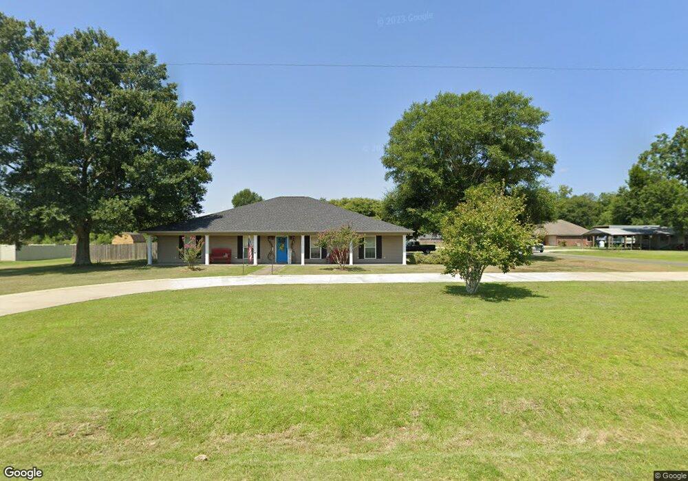
203 Planer Mill Rd Deridder, LA 70634
Estimated Value: $261,000 - $340,000
4
Beds
3
Baths
4,071
Sq Ft
$72/Sq Ft
Est. Value
About This Home
This home is located at 203 Planer Mill Rd, Deridder, LA 70634 and is currently estimated at $293,219, approximately $72 per square foot. 203 Planer Mill Rd is a home located in Beauregard Parish with nearby schools including K.R. Hanchey Elementary School, Pine Wood Elementary School, and DeRidder Junior High School.
Ownership History
Date
Name
Owned For
Owner Type
Purchase Details
Closed on
Aug 5, 2009
Sold by
Day Ivy Leroy and Day Anne Rebecca Stuart
Bought by
Denning Christopher Shane and Denning Jennifer Lynn Hamilton
Current Estimated Value
Home Financials for this Owner
Home Financials are based on the most recent Mortgage that was taken out on this home.
Original Mortgage
$219,600
Outstanding Balance
$140,676
Interest Rate
5.19%
Estimated Equity
$152,544
Create a Home Valuation Report for This Property
The Home Valuation Report is an in-depth analysis detailing your home's value as well as a comparison with similar homes in the area
Purchase History
| Date | Buyer | Sale Price | Title Company |
|---|---|---|---|
| Denning Christopher Shane | $215,000 | -- |
Source: Public Records
Mortgage History
| Date | Status | Borrower | Loan Amount |
|---|---|---|---|
| Open | Denning Christopher Shane | $219,600 |
Source: Public Records
Tax History
| Year | Tax Paid | Tax Assessment Tax Assessment Total Assessment is a certain percentage of the fair market value that is determined by local assessors to be the total taxable value of land and additions on the property. | Land | Improvement |
|---|---|---|---|---|
| 2025 | $2,562 | $21,500 | $1,200 | $20,300 |
| 2024 | $2,543 | $21,500 | $1,200 | $20,300 |
| 2023 | $2,609 | $21,500 | $1,200 | $20,300 |
| 2022 | $2,609 | $21,500 | $1,200 | $20,300 |
| 2021 | $2,609 | $21,500 | $1,200 | $20,300 |
| 2020 | $2,609 | $21,500 | $1,200 | $20,300 |
| 2019 | $2,610 | $21,500 | $1,200 | $20,300 |
| 2018 | $2,610 | $21,500 | $1,200 | $20,300 |
| 2017 | $2,610 | $21,500 | $1,200 | $20,300 |
| 2016 | $2,594 | $21,500 | $1,200 | $20,300 |
| 2015 | $1,643 | $21,500 | $1,200 | $20,300 |
| 2014 | $1,643 | $21,500 | $1,200 | $20,300 |
Source: Public Records
Map
Nearby Homes
- 113 Tara Dr
- 147 S Planer Mill Rd
- 111 Henderson St
- 1406 Camelia Dr
- 122 Azalea Ave
- 2011 Hampton St
- 1598 Glendale Rd
- 0 Idlewood Ln
- 0 N Frusha Dr
- 918 Birch Dr
- 0 Bilbo Street (Tract 1)
- 0 Bilbo Street (Tract 2)
- 190 Blue Ridge Rd Unit Blue Ridge
- 1105 Mc Arthur St
- 1110 W Port St Unit West Port
- 704 Auburn Dr
- 1015 Michael Dr
- 421 Pecan St
- 1615 Ernest Dr
- 1010 Patton St
- 195 Planer Mill Rd
- 217 Planer Mill Rd
- 211 Planer Mill Rd
- 231 Planer Mill Rd
- 213 Planer Mill Rd
- 175 Planer Mill Rd
- 175 Planer Mill Rd Unit RD
- 0 Planer Mill Rd Tbd
- 215 Planer Mill Rd
- 0 Tbd Planer Mill Rd Unit Rd
- 124 Tara Dr
- 124 Tara Dr
- 124 Tara Dr Unit DR
- 124 Tara Dr Unit Drive
- 265 Planer Mill Rd
- 120 Tara Dr
- 120 Tara Dr Unit DRIVE
- 125 Tara Dr
- 116 Tara Dr
- 121 Tara Dr
Your Personal Tour Guide
Ask me questions while you tour the home.