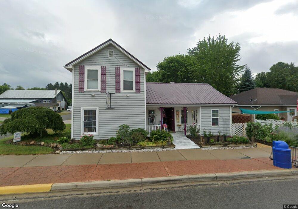
203 S Main St Crystal, MI 48818
About This Home
This home is located at 203 S Main St, Crystal, MI 48818. 203 S Main St is a home located in Montcalm County with nearby schools including Carson City Elementary School, Carson City-Crystal Upper Elementary/Middle School, and Carson City-Crystal High School.
Ownership History
We collect this data history from publicly available records. To have your information removed, we recommend requesting removal directly through your county’s website.
Purchase Details
Purchase Details
Purchase Details
Purchase Details
Purchase Details
Purchase Details
Purchase Details
Purchase Details
Purchase History
We collect this data history from publicly available records. To have your information removed, we recommend requesting removal directly through your county’s website.
| Date | Buyer | Sale Price | Title Company |
|---|---|---|---|
| -- | Land Title | ||
| -- | None Available | ||
| $25,500 | -- | ||
| $25,500 | -- | ||
| $105,198 | None Available | ||
| -- | -- | ||
| -- | -- | ||
| -- | -- | ||
| -- | -- |
Tax History
We collect this data history from publicly available records. To have your information removed, we recommend requesting removal directly through your county’s website.
| Year | Tax Paid | Tax Assessment Tax Assessment Total Assessment is a certain percentage of the fair market value that is determined by local assessors to be the total taxable value of land and additions on the property. | Land | Improvement |
|---|---|---|---|---|
| 2025 | $1,091 | $30,800 | $0 | $0 |
| 2024 | $1,003 | $25,900 | $0 | $0 |
| 2023 | -- | $23,500 | $0 | $0 |
Map
- 223 E Lasalle St
- 223 (A) E Lasalle St
- 218 E Lake St
- 305 E Lasalle St
- 8652 E Colby Rd
- 8386 E Sidney Rd
- 8235 E Sidney Rd
- 2695 Ovid St
- 2690 Ovid St
- 604 N Shore Dr
- 2481 S Shore Dr
- 1910 Waterview Way
- 6642 Spinnaker Rd
- 6628 Spinnaker Rd
- 9463 E Colby Rd
- 2100 Strait Tow Blvd
- 1947 Strait Tow Blvd
- 5937 E Pakes Rd
- 3076 Senator Rd
- 1520 Shepard St Unit 1524
- 209 S Main St Unit 207
- 210 S Main St
- 118 Park St
- 215 S Main St
- 121 S Main St
- 114 W Park St
- 223 S Main St
- 204 Lincoln St
- 214 Lincoln St
- 233 S Main St
- 117 E Lasalle St
- 114 S Main St
- 123 E Lasalle St
- 114 Park St
- 101&103 S Main St
- 205 Lincoln St
- 209 Lincoln St
- 101 S Main St
- 106 E Lasalle St
- 102 S Main St
Ask me questions while you tour the home.