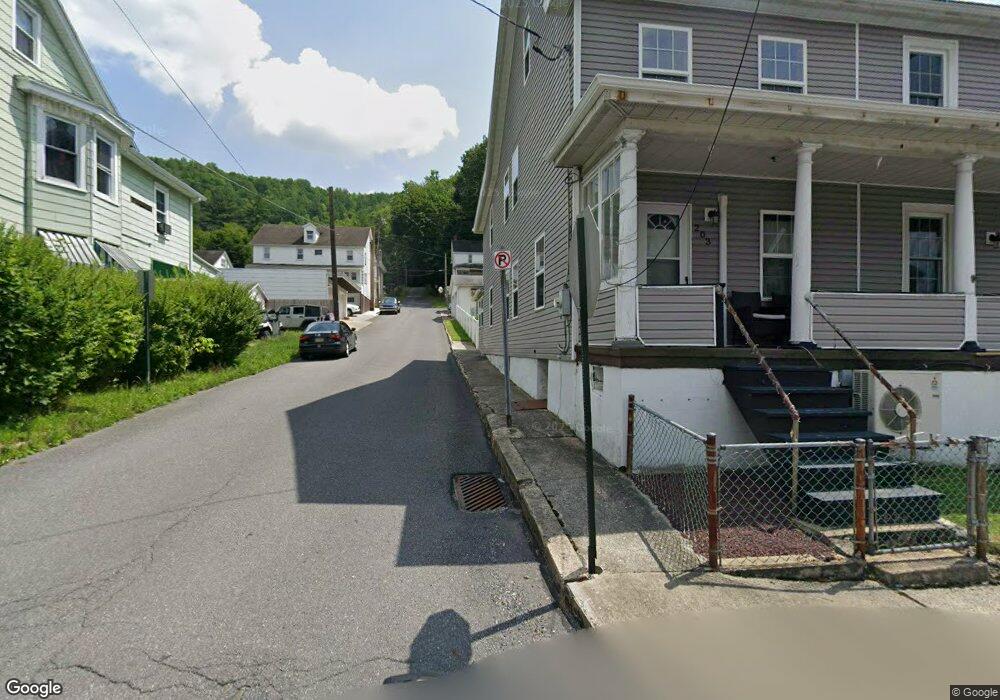
203 W High St Nesquehoning, PA 18240
Estimated Value: $89,000 - $108,351
3
Beds
1
Bath
1,260
Sq Ft
$78/Sq Ft
Est. Value
About This Home
This home is located at 203 W High St, Nesquehoning, PA 18240 and is currently estimated at $98,088, approximately $77 per square foot. 203 W High St is a home located in Carbon County with nearby schools including Panther Valley Elementary School, Panther Valley Intermediate School, and Panther Valley Junior/Senior High School.
Ownership History
Date
Name
Owned For
Owner Type
Purchase Details
Closed on
Jan 23, 2014
Sold by
Watkins Robert and Cusanelli Kaela M
Bought by
Watkins Robert
Current Estimated Value
Purchase Details
Closed on
May 17, 2013
Sold by
Watkins Robert
Bought by
Watkins Robert and Cusanelli Kaela M
Purchase Details
Closed on
Apr 12, 2013
Sold by
Stemetzki Anna
Bought by
Watkins Robert
Purchase Details
Closed on
Feb 11, 2009
Sold by
Weaver Donald and Weaver Jeanne
Bought by
Stemetzki William and Stemetzki Anna
Create a Home Valuation Report for This Property
The Home Valuation Report is an in-depth analysis detailing your home's value as well as a comparison with similar homes in the area
Home Values in the Area
Average Home Value in this Area
Purchase History
We collect this data history from publicly available records. To have your information removed, we recommend requesting removal directly through your county’s website.
| Date | Buyer | Sale Price | Title Company |
|---|---|---|---|
| Watkins Robert | $16,248 | None Available | |
| Watkins Robert | $18,258 | None Available | |
| Watkins Robert | -- | None Available | |
| Stemetzki William | -- | None Available |
Source: Public Records
Tax History
| Year | Tax Paid | Tax Assessment Tax Assessment Total Assessment is a certain percentage of the fair market value that is determined by local assessors to be the total taxable value of land and additions on the property. | Land | Improvement |
|---|---|---|---|---|
| 2026 | $1,708 | $16,750 | $4,050 | $12,700 |
| 2025 | $1,583 | $16,750 | $4,050 | $12,700 |
| 2024 | $1,647 | $16,750 | $4,050 | $12,700 |
| 2023 | $1,614 | $16,750 | $4,050 | $12,700 |
| 2022 | $1,625 | $16,750 | $4,050 | $12,700 |
| 2021 | $1,625 | $16,750 | $4,050 | $12,700 |
| 2020 | $1,599 | $16,750 | $4,050 | $12,700 |
| 2019 | $1,507 | $16,750 | $4,050 | $12,700 |
| 2018 | $1,491 | $16,750 | $4,050 | $12,700 |
| 2017 | $1,491 | $16,750 | $4,050 | $12,700 |
| 2016 | -- | $16,750 | $4,050 | $12,700 |
| 2015 | -- | $16,750 | $4,050 | $12,700 |
| 2014 | -- | $16,750 | $4,050 | $12,700 |
Source: Public Records
Map
Nearby Homes
- 243 W High St
- 63 W Railroad St Unit A, B, & garage
- 340 W Catawissa St
- 17 Holland St
- 194 Coal St
- 45 Rhume St
- 2 E Center St
- 106 E Catawissa St
- 125 E Catawissa St
- 58 W Columbus Ave
- 40 W Garibaldi Ave
- 115 Spruce St
- 129 Lentz Trail
- 419 E White Bear Dr
- 54 Coal St
- 0 11th Ave Unit PM-131093
- 303 E Mountain Top Rd
- 4 Andrewsville St
- 79 Leisure Ln
- A591 Apple Lane & Stony Mountain
Your Personal Tour Guide
Ask me questions while you tour the home.