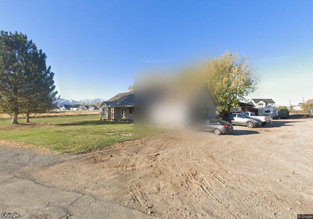
2030 S 2000 W Mapleton, UT 84664
Estimated Value: $815,000 - $1,203,108
3
Beds
3
Baths
3,128
Sq Ft
$328/Sq Ft
Est. Value
About This Home
This home is located at 2030 S 2000 W, Mapleton, UT 84664 and is currently estimated at $1,025,027, approximately $327 per square foot. 2030 S 2000 W is a home located in Utah County with nearby schools including Maple Ridge Elementary, Mapleton Junior High School, and Maple Mountain High School.
Ownership History
Date
Name
Owned For
Owner Type
Purchase Details
Closed on
May 20, 2025
Sold by
Haynes Lawrence Clark
Bought by
Haynes Lawrence Clark
Current Estimated Value
Home Financials for this Owner
Home Financials are based on the most recent Mortgage that was taken out on this home.
Original Mortgage
$520,000
Outstanding Balance
$518,148
Interest Rate
6.62%
Mortgage Type
New Conventional
Estimated Equity
$506,879
Purchase Details
Closed on
May 23, 2023
Sold by
Haynes Lawrence Clark and Haynes Janell Hall
Bought by
Haynes Lawrence Clark
Purchase Details
Closed on
Oct 2, 2020
Sold by
Haynes Lawrence Clark
Bought by
Haynes Lawrence Clark and Haynes Janell Hall
Purchase Details
Closed on
Jul 2, 2015
Sold by
Haynes Todd
Bought by
Haynes Lawrence Clark
Home Financials for this Owner
Home Financials are based on the most recent Mortgage that was taken out on this home.
Original Mortgage
$360,000
Interest Rate
3.81%
Mortgage Type
New Conventional
Purchase Details
Closed on
Nov 14, 2011
Sold by
Jpmorgan Chase Bank National Association
Bought by
Haynes Todd
Home Financials for this Owner
Home Financials are based on the most recent Mortgage that was taken out on this home.
Original Mortgage
$263,155
Interest Rate
3.75%
Mortgage Type
FHA
Purchase Details
Closed on
Aug 8, 2011
Sold by
Allred Nathan and Washington Mutual Bank Fa
Bought by
Jpmorgan Chase Bank National Association
Purchase Details
Closed on
Jan 19, 2007
Sold by
Burnell William A and Burnell Jolynne
Bought by
Allred Nathan
Home Financials for this Owner
Home Financials are based on the most recent Mortgage that was taken out on this home.
Original Mortgage
$460,300
Interest Rate
7.5%
Mortgage Type
Purchase Money Mortgage
Purchase Details
Closed on
Jun 20, 2001
Sold by
Herman Karma L
Bought by
Burnell William A and Burnell Jolynne
Home Financials for this Owner
Home Financials are based on the most recent Mortgage that was taken out on this home.
Original Mortgage
$148,500
Interest Rate
7.15%
Purchase Details
Closed on
Feb 28, 2000
Sold by
Herman Karma L and Gordon Herman F
Bought by
Herman Karma L
Home Financials for this Owner
Home Financials are based on the most recent Mortgage that was taken out on this home.
Original Mortgage
$49,000
Interest Rate
8.27%
Mortgage Type
Stand Alone Second
Purchase Details
Closed on
Feb 4, 1999
Sold by
Hone Russell Grant and Hone Sue Ann
Bought by
Herman F Gordon and Herman Karma L
Home Financials for this Owner
Home Financials are based on the most recent Mortgage that was taken out on this home.
Original Mortgage
$229,000
Interest Rate
6.73%
Purchase Details
Closed on
Dec 12, 1998
Sold by
Hone Russell and Hone Sue
Bought by
Hone Russell Grant and Hone Sue Ann
Home Financials for this Owner
Home Financials are based on the most recent Mortgage that was taken out on this home.
Original Mortgage
$229,000
Interest Rate
6.73%
Purchase Details
Closed on
Oct 25, 1998
Sold by
Hone Russell Grant and Hone Sue Ann
Bought by
Hone Russell Grant and Hone Sue Ann
Create a Home Valuation Report for This Property
The Home Valuation Report is an in-depth analysis detailing your home's value as well as a comparison with similar homes in the area
Home Values in the Area
Average Home Value in this Area
Purchase History
| Date | Buyer | Sale Price | Title Company |
|---|---|---|---|
| Haynes Lawrence Clark | -- | Stewart Title | |
| Haynes Lawrence Clark | -- | None Listed On Document | |
| Haynes Lawrence Clark | -- | Accommodation | |
| Haynes Lawrence Clark | -- | Meridian Title Co | |
| Haynes Todd | -- | Security Title Insurance Age | |
| Jpmorgan Chase Bank National Association | $265,302 | None Available | |
| Allred Nathan | -- | Security Title & Abstract | |
| Burnell William A | -- | Security Title & Abstract | |
| Herman Karma L | -- | Pro Title & Escrow Inc | |
| Herman F Gordon | -- | Fidelity Land & Title | |
| Hone Russell Grant | -- | -- | |
| Hone Russell Grant | -- | -- |
Source: Public Records
Mortgage History
| Date | Status | Borrower | Loan Amount |
|---|---|---|---|
| Open | Haynes Lawrence Clark | $520,000 | |
| Previous Owner | Haynes Lawrence Clark | $360,000 | |
| Previous Owner | Haynes Todd | $263,155 | |
| Previous Owner | Allred Nathan | $460,300 | |
| Previous Owner | Burnell William A | $148,500 | |
| Previous Owner | Herman Karma L | $49,000 | |
| Previous Owner | Herman F Gordon | $229,000 |
Source: Public Records
Tax History
| Year | Tax Paid | Tax Assessment Tax Assessment Total Assessment is a certain percentage of the fair market value that is determined by local assessors to be the total taxable value of land and additions on the property. | Land | Improvement |
|---|---|---|---|---|
| 2025 | $5,115 | $544,175 | -- | -- |
| 2024 | $5,115 | $501,050 | $0 | $0 |
| 2023 | $5,286 | $521,070 | $0 | $0 |
| 2022 | $5,480 | $847,400 | $469,500 | $377,900 |
| 2021 | $4,742 | $610,600 | $319,900 | $290,700 |
| 2020 | $4,545 | $571,900 | $281,200 | $290,700 |
| 2019 | $4,380 | $561,100 | $275,200 | $285,900 |
| 2018 | $4,032 | $497,200 | $225,500 | $271,700 |
| 2017 | $3,773 | $281,685 | $0 | $0 |
| 2016 | $3,436 | $254,955 | $0 | $0 |
| 2015 | $3,382 | $249,455 | $0 | $0 |
| 2014 | $2,861 | $207,205 | $0 | $0 |
Source: Public Records
Map
Nearby Homes
- 3056 E 80 S
- 1766 S 1850 W Unit MRVL08
- 1932 Charlotte Ct
- 1501 W Elk View Cir
- 7500 U S Highway 89
- 1325 W Park Meadows Dr
- 32 S 2560 E
- 638 N Old Fort Dr
- 237 N 2470 E
- 644 N Old Fort Dr
- 273 S 2580 E
- 161 W 250 S
- 473 W 350 S Unit 31
- 654 N 2560 E
- 672 N 2560 E
- 51 N Spanish Fork Pkwy
- 309 N 2350 E Unit 1
- 377 N 2350 E Unit 4
- 1058 S Lilac Way
- 768 N Old Fort Dr
- 2202 S 2000 W Unit 11
- 2203 S 2000 W
- 2031 S 2000 W
- 98 N Maple Bend Dr Unit 33
- 1948 S 2000 W
- 118 N Maple Bend Dr Unit 34
- 84 N Maple Bend Dr Unit 41
- 2244 S 2000 W
- 126 N Maple Bend Dr Unit 35
- 62 N Maple Bend Dr Unit 42
- 1961 W 1900 S
- 38 N Maple Bend Dr Unit 43
- 164 N Maple Bend Dr Unit 77
- 87 N Maple Bend Dr Unit 32
- 2961 E 100 N Unit 25
- 2989 E 40 N Unit 40
- 2078 W 1900 S
- 172 N Maple Bend Dr Unit 76
- 2942 E 130 N Unit 24
- 22 N Maple Bend Dr Unit 74
Your Personal Tour Guide
Ask me questions while you tour the home.