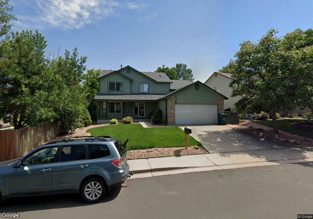
2030 W 135th Ave Denver, CO 80234
Quail Ridge-Adams NeighborhoodEstimated Value: $520,000 - $643,000
3
Beds
3
Baths
2,278
Sq Ft
$260/Sq Ft
Est. Value
About This Home
This home is located at 2030 W 135th Ave, Denver, CO 80234 and is currently estimated at $592,474, approximately $260 per square foot. 2030 W 135th Ave is a home located in Adams County with nearby schools including Arapahoe Ridge Elementary School, Silver Hills Middle School, and Legacy High School.
Ownership History
Date
Name
Owned For
Owner Type
Purchase Details
Closed on
Jan 30, 2018
Sold by
Eggleston Micahel E and Eggleston Carrie J
Bought by
Robertson Darren and Robertson Kaari
Current Estimated Value
Home Financials for this Owner
Home Financials are based on the most recent Mortgage that was taken out on this home.
Original Mortgage
$323,040
Outstanding Balance
$269,321
Interest Rate
3.75%
Mortgage Type
FHA
Estimated Equity
$323,153
Purchase Details
Closed on
Jan 22, 1996
Sold by
Melody Homes Inc
Bought by
Eggleston Michael E and Eggleston Carrie J
Home Financials for this Owner
Home Financials are based on the most recent Mortgage that was taken out on this home.
Original Mortgage
$100,500
Interest Rate
7.14%
Create a Home Valuation Report for This Property
The Home Valuation Report is an in-depth analysis detailing your home's value as well as a comparison with similar homes in the area
Home Values in the Area
Average Home Value in this Area
Purchase History
| Date | Buyer | Sale Price | Title Company |
|---|---|---|---|
| Robertson Darren | $329,000 | Land Title Guarantee Co | |
| Eggleston Michael E | $143,788 | Land Title |
Source: Public Records
Mortgage History
| Date | Status | Borrower | Loan Amount |
|---|---|---|---|
| Open | Robertson Darren | $323,040 | |
| Previous Owner | Eggleston Michael E | $100,500 |
Source: Public Records
Tax History
| Year | Tax Paid | Tax Assessment Tax Assessment Total Assessment is a certain percentage of the fair market value that is determined by local assessors to be the total taxable value of land and additions on the property. | Land | Improvement |
|---|---|---|---|---|
| 2025 | $3,893 | $40,730 | $6,800 | $33,930 |
| 2024 | $3,893 | $37,440 | $6,250 | $31,190 |
| 2023 | $3,851 | $43,300 | $6,430 | $36,870 |
| 2022 | $3,231 | $30,780 | $6,600 | $24,180 |
| 2021 | $3,337 | $30,780 | $6,600 | $24,180 |
| 2020 | $3,077 | $28,940 | $6,790 | $22,150 |
| 2019 | $3,084 | $28,940 | $6,790 | $22,150 |
| 2018 | $2,827 | $25,740 | $6,550 | $19,190 |
| 2017 | $2,558 | $25,740 | $6,550 | $19,190 |
| 2016 | $2,322 | $22,710 | $4,060 | $18,650 |
| 2015 | $2,319 | $22,710 | $4,060 | $18,650 |
| 2014 | $2,257 | $21,460 | $3,500 | $17,960 |
Source: Public Records
Map
Nearby Homes
- 13564 Wyandot St
- 13409 Raritan St
- 2512 W 133rd Cir
- 13146 Raritan Ct
- 13082 Tejon Ct
- 13735 Shoshone Ln
- 13764 Shoshone Ln
- 1494 W 132nd Place
- 1421 W 132nd Place
- 3150 W 134th Ave
- 1404 W 132nd Place
- 1872 W 130th Dr
- 13900 Lake Song Ln Unit B6
- 13900 Lake Song Ln Unit B2
- 860 W 132nd Ave Unit 14
- 860 W 132nd Ave Unit 220
- 860 W 132nd Ave Unit 235
- 860 W 132nd Ave Unit 205
- 3135 W 134th Ct
- 3134 W 135th Ave
- 2050 W 135th Ave
- 13495 Tejon St
- 13455 Tejon St
- 13455 Tejon St
- 2015 W 134th Way
- 2025 W 134th Way
- 2100 W 135th Ave
- 13405 Tejon St
- 2035 W 135th Ave
- 13501 Tejon St
- 2045 W 135th Ave
- 2055 W 134th Way
- 2105 W 135th Ave
- 13513 Tejon St
- 13490 Tejon St
- 13450 Tejon St
- 2180 W 135th Ave
- 2065 W 134th Way
- 2018 W 135th Ct
- 2028 W 135th Ct
Your Personal Tour Guide
Ask me questions while you tour the home.