2031 Weron Ln Cincinnati, OH 45225
East Westwood NeighborhoodEstimated Value: $66,000 - $143,000
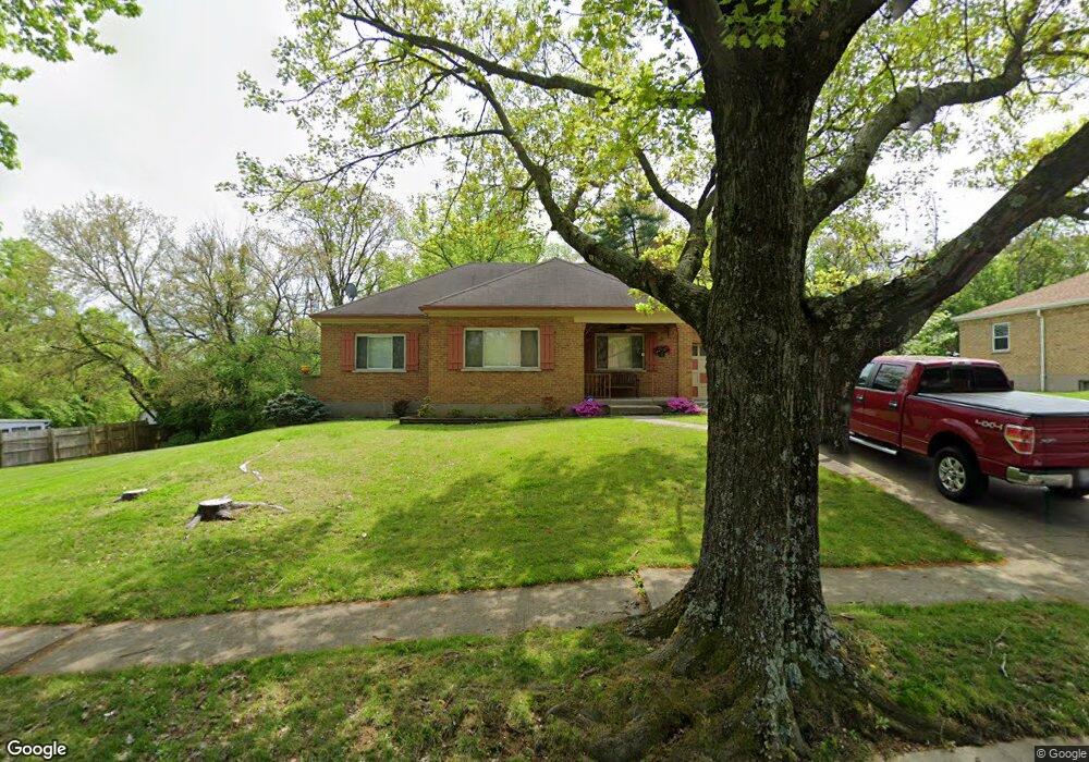
About This Home
This home is located at 2031 Weron Ln, Cincinnati, OH 45225 and is currently estimated at $110,066, approximately $89 per square foot. 2031 Weron Ln is a home located in Hamilton County with nearby schools including Western Hills High School, Gilbert A. Dater High School, and Robert A. Taft Information Technology High School.
Ownership History
We collect this data history from publicly available records. To have your information removed, we recommend requesting removal directly through your county’s website.
Purchase Details
Home Financials for this Owner
Home Financials are based on the most recent Mortgage that was taken out on this home.Home Values in the Area
Average Home Value in this Area
Purchase History
We collect this data history from publicly available records. To have your information removed, we recommend requesting removal directly through your county’s website.
| Date | Buyer | Sale Price | Title Company |
|---|---|---|---|
| $25,000 | -- |
Mortgage History
We collect this data history from publicly available records. To have your information removed, we recommend requesting removal directly through your county’s website.
| Date | Status | Borrower | Loan Amount |
|---|---|---|---|
| Closed | -- |
Tax History
We collect this data history from publicly available records. To have your information removed, we recommend requesting removal directly through your county’s website.
| Year | Tax Paid | Tax Assessment Tax Assessment Total Assessment is a certain percentage of the fair market value that is determined by local assessors to be the total taxable value of land and additions on the property. | Land | Improvement |
|---|---|---|---|---|
| 2025 | $1,719 | $26,817 | $1,561 | $25,256 |
| 2024 | $1,717 | $26,817 | $1,561 | $25,256 |
| 2023 | $1,720 | $26,817 | $1,561 | $25,256 |
| 2022 | $657 | $9,013 | $1,015 | $7,998 |
| 2021 | $639 | $9,013 | $1,015 | $7,998 |
| 2020 | $641 | $9,013 | $1,015 | $7,998 |
| 2019 | $682 | $8,750 | $987 | $7,763 |
| 2018 | $683 | $8,750 | $987 | $7,763 |
| 2017 | $657 | $8,750 | $987 | $7,763 |
| 2016 | $494 | $15,813 | $1,645 | $14,168 |
| 2015 | $454 | $15,813 | $1,645 | $14,168 |
| 2014 | $458 | $15,813 | $1,645 | $14,168 |
| 2013 | $975 | $23,601 | $2,454 | $21,147 |
Map
- 1970 Westwood Northern Blvd
- 1915 Neyer Ave
- 2352 Iroll Ave
- 2167 Westwood Northern Blvd
- 2183 Westwood Northern Blvd
- 2428 Kremer Ave
- 3555 Mchenry Ave
- 3384 Ninann Ct
- 2041 Baltimore Ave
- 3521 Mchenry Ave
- 3519 Mchenry Ave
- 2006 Baltimore Ave
- 1767 Sutter Ave
- 3087 Moosewood Ave
- 3143 Saffer St
- 3091 Beekman St
- 2784 Cass Ave
- 3065 Moosewood Ave
- 1959 Baltimore Ave
- 1817 Elmore St
Ask me questions while you tour the home.