Estimated Value: $303,000 - $354,000
About This Home
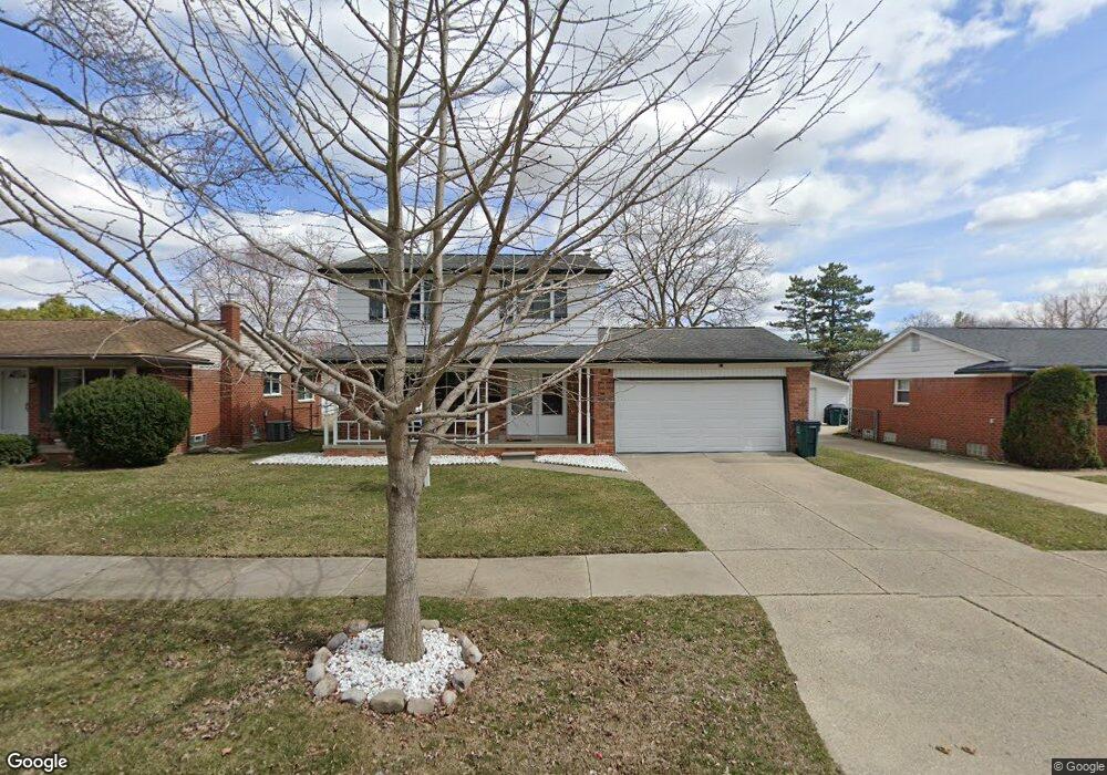
This home is located at 2034 Alexander Dr Unit Bldg-Unit, Troy, MI 48083 and is currently estimated at $325,581, approximately $218 per square foot. 2034 Alexander Dr Unit Bldg-Unit is a home located in Oakland County with nearby schools including Susick Elementary School, Grissom Middle School, and Sterling Heights Senior H.S..
Ownership History
We collect this data history from publicly available records. To have your information removed, we recommend requesting removal directly through your county’s website.
Purchase Details
Home Financials for this Owner
Home Financials are based on the most recent Mortgage that was taken out on this home.Purchase Details
Home Financials for this Owner
Home Financials are based on the most recent Mortgage that was taken out on this home.Purchase Details
Home Values in the Area
Average Home Value in this Area
Purchase History
We collect this data history from publicly available records. To have your information removed, we recommend requesting removal directly through your county’s website.
| Date | Buyer | Sale Price | Title Company |
|---|---|---|---|
| $208,000 | Ata National Title Group Llc | ||
| -- | Lsi | ||
| $183,500 | First American Title |
Mortgage History
We collect this data history from publicly available records. To have your information removed, we recommend requesting removal directly through your county’s website.
| Date | Status | Borrower | Loan Amount |
|---|---|---|---|
| Open | $166,400 | ||
| Previous Owner | $118,000 |
Tax History
We collect this data history from publicly available records. To have your information removed, we recommend requesting removal directly through your county’s website.
| Year | Tax Paid | Tax Assessment Tax Assessment Total Assessment is a certain percentage of the fair market value that is determined by local assessors to be the total taxable value of land and additions on the property. | Land | Improvement |
|---|---|---|---|---|
| 2022 | $3,947 | $110,930 | $0 | $0 |
| 2015 | $3,611 | $76,690 | $0 | $0 |
| 2014 | -- | $69,290 | $0 | $0 |
| 2011 | -- | $64,940 | $0 | $0 |
Map
- 2118 Alexander Dr
- 2177 Alexander Dr
- 1853 Milverton Dr
- 1716 Milverton Dr
- 2299 Vermont Dr
- 2002 Hempstead Dr
- 2446 Milverton Dr
- 2638 Athena Dr
- 2202 Prescott Dr
- 2263 Camilla Dr
- 2824 Roundtree Dr Unit 2824
- 2018 John R Rd
- 2887 Roundtree Dr
- 1828 John R Rd
- 1405 Shaker Dr
- 2907 Roundtree Dr Unit 203
- 2968 Roundtree Dr Unit 266
- 2718 Roundtree Dr Unit 63
- 2934 Roundtree Dr
- 2898 Roundtree Dr
- 2034 Alexander Dr
- 2046 Alexander Dr
- 2022 Alexander Dr
- 2058 Alexander Dr
- 2010 Alexander Dr
- 2051 Atlas Dr
- 2063 Atlas Dr
- 2039 Atlas Dr
- 2075 Atlas Dr
- 2033 Alexander Dr
- 2027 Atlas Dr
- 2070 Alexander Dr
- 2045 Alexander Dr
- 2021 Alexander Dr
- 2087 Atlas Dr
- 2015 Atlas Dr
- 2057 Alexander Dr
- 2106 Alexander Dr
- 2009 Alexander Dr
- 1962 Alexander Dr
Ask me questions while you tour the home.