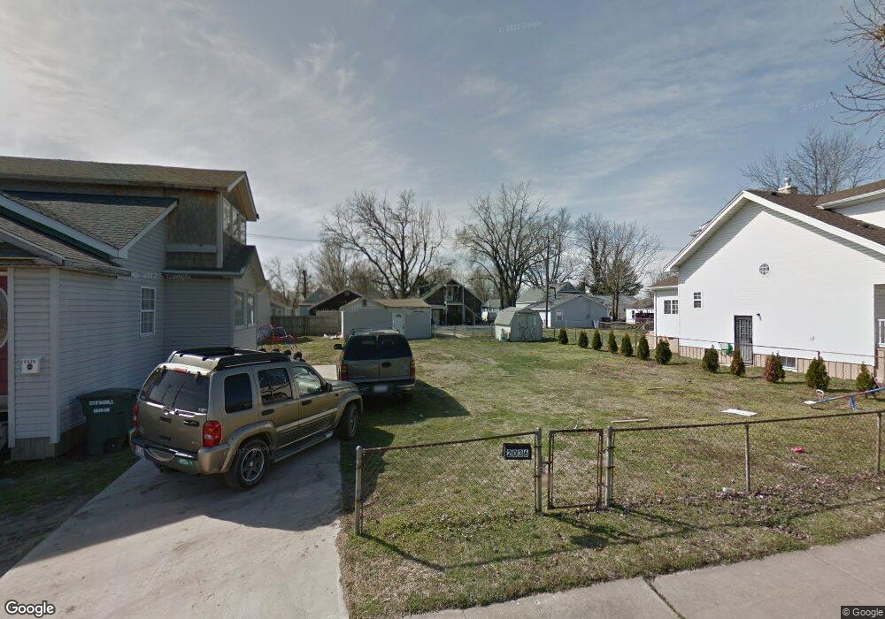
2036 Mccasland Ave Madison, IL 62060
1
Bed
1
Bath
462
Sq Ft
2,962
Sq Ft Lot Lot
About This Home
This home is located at 2036 Mccasland Ave, Madison, IL 62060. 2036 Mccasland Ave is a home located in Madison County with nearby schools including Bernard Long Elementary School, Madison Senior High School, and Rivers of Life Christian School.
Ownership History
Date
Name
Owned For
Owner Type
Purchase Details
Closed on
Sep 21, 2009
Sold by
Cochran Daniel
Bought by
Anderson Jeffrey Todd
Purchase Details
Closed on
Jul 6, 2005
Sold by
Broyles Donald
Bought by
Cochran Randy L
Home Financials for this Owner
Home Financials are based on the most recent Mortgage that was taken out on this home.
Original Mortgage
$9,000
Interest Rate
5.68%
Mortgage Type
Seller Take Back
Create a Home Valuation Report for This Property
The Home Valuation Report is an in-depth analysis detailing your home's value as well as a comparison with similar homes in the area
Home Values in the Area
Average Home Value in this Area
Purchase History
We collect this data history from publicly available records. To have your information removed, we recommend requesting removal directly through your county’s website.
| Date | Buyer | Sale Price | Title Company |
|---|---|---|---|
| Anderson Jeffrey Todd | $4,000 | None Available | |
| Cochran Randy L | $10,000 | -- |
Source: Public Records
Mortgage History
We collect this data history from publicly available records. To have your information removed, we recommend requesting removal directly through your county’s website.
| Date | Status | Borrower | Loan Amount |
|---|---|---|---|
| Previous Owner | Cochran Randy L | $9,000 |
Source: Public Records
Tax History
| Year | Tax Paid | Tax Assessment Tax Assessment Total Assessment is a certain percentage of the fair market value that is determined by local assessors to be the total taxable value of land and additions on the property. | Land | Improvement |
|---|---|---|---|---|
| 2025 | -- | $0 | $0 | $0 |
| 2024 | $72 | $0 | $0 | $0 |
| 2023 | $72 | $0 | $0 | $0 |
| 2022 | $72 | $0 | $0 | $0 |
| 2021 | $72 | $0 | $0 | $0 |
| 2020 | $72 | $0 | $0 | $0 |
| 2019 | $72 | $550 | $550 | $0 |
| 2018 | $72 | $510 | $510 | $0 |
| 2017 | $68 | $510 | $510 | $0 |
| 2016 | -- | $510 | $510 | $0 |
| 2015 | $191 | $6,600 | $510 | $6,090 |
| 2014 | $191 | $6,600 | $510 | $6,090 |
| 2013 | $191 | $6,780 | $520 | $6,260 |
Source: Public Records
Map
Nearby Homes
- 2020 6th St
- 2013 4th St
- 1735 Rhodes St
- 1111 Greenwood St
- 1664 5th St
- 1835 Market St
- 1348 Madison Ave
- 2107 Monroe St
- 1217 Market St
- 1909 Grand Ave
- 1911 Benton St
- 2321 Washington Ave
- 00 Bend Rd
- 2134 & 2138 Cleveland Blvd
- 2230 E 24th St
- 2316 E 24th St
- 2328 E 24th St
- 2251 Edison Ave
- 217 W 2nd St
- 1321 Oriole St
- 2030 Mccasland Ave
- 2038 Mccasland Ave
- 2032 Mccasland Ave
- 2039 Beckwith Ave
- 2041 Beckwith Ave
- 2035 Beckwith Ave
- 2043 Beckwith Ave
- 2024 Mccasland Ave
- 2031 Beckwith Ave
- 2035 Mccasland Ave
- 2025 Beckwith Ave
- 2037 Mccasland Ave
- 2033 Mccasland Ave
- 2020 Mccasland Ave
- 2029 Mccasland Ave
- 2018 Mccasland Ave
- 2023 Mccasland Ave
- 2019 Beckwith Ave
- 2021 Mccasland Ave
- 2014 Mccasland Ave
Your Personal Tour Guide
Ask me questions while you tour the home.