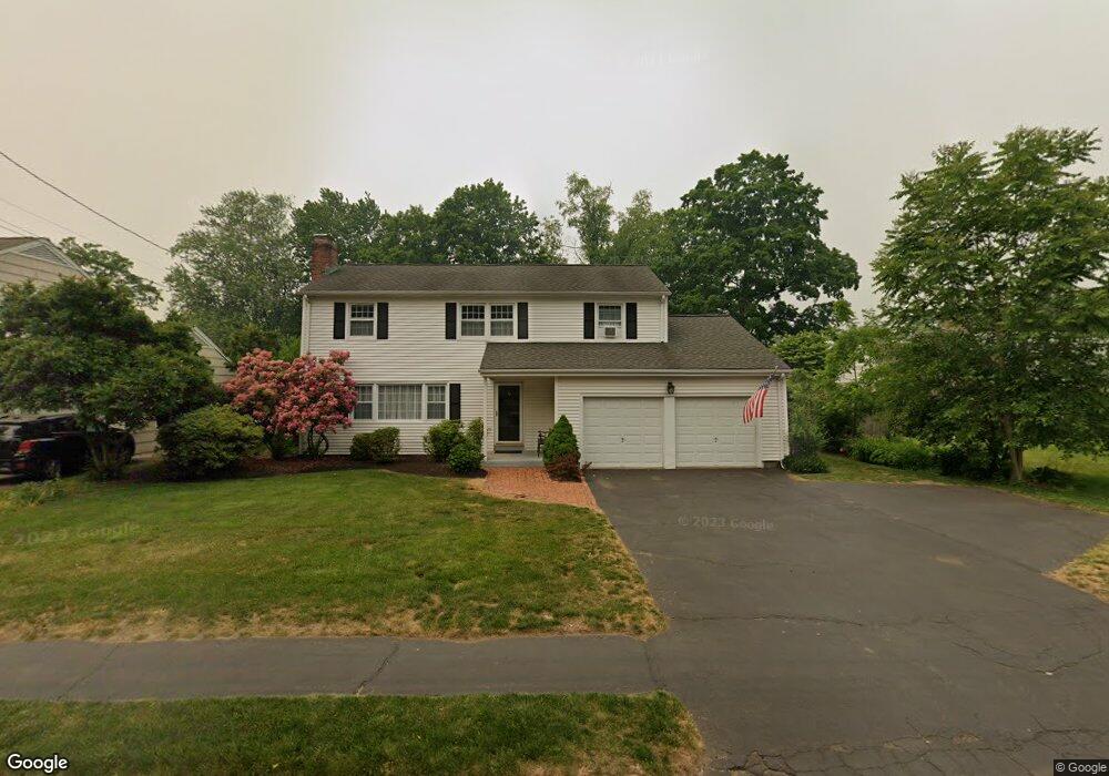
2037 Mill Plain Rd Fairfield, CT 06824
University NeighborhoodEstimated Value: $899,465 - $1,190,000
4
Beds
3
Baths
1,867
Sq Ft
$564/Sq Ft
Est. Value
About This Home
This home is located at 2037 Mill Plain Rd, Fairfield, CT 06824 and is currently estimated at $1,052,616, approximately $563 per square foot. 2037 Mill Plain Rd is a home located in Fairfield County with nearby schools including Riverfield Elementary School, Roger Ludlowe Middle School, and Fairfield Ludlowe High School.
Ownership History
Date
Name
Owned For
Owner Type
Purchase Details
Closed on
Nov 16, 1982
Bought by
Roche James M and Roche Barbara J
Current Estimated Value
Create a Home Valuation Report for This Property
The Home Valuation Report is an in-depth analysis detailing your home's value as well as a comparison with similar homes in the area
Home Values in the Area
Average Home Value in this Area
Purchase History
We collect this data history from publicly available records. To have your information removed, we recommend requesting removal directly through your county’s website.
| Date | Buyer | Sale Price | Title Company |
|---|---|---|---|
| Roche James M | $120,000 | -- |
Source: Public Records
Mortgage History
We collect this data history from publicly available records. To have your information removed, we recommend requesting removal directly through your county’s website.
| Date | Status | Borrower | Loan Amount |
|---|---|---|---|
| Open | Roche James M | $457,500 | |
| Closed | Roche James M | $436,000 | |
| Closed | Roche James M | $400,000 | |
| Closed | Roche James M | $100,000 |
Source: Public Records
Tax History
| Year | Tax Paid | Tax Assessment Tax Assessment Total Assessment is a certain percentage of the fair market value that is determined by local assessors to be the total taxable value of land and additions on the property. | Land | Improvement |
|---|---|---|---|---|
| 2025 | $11,145 | $392,560 | $240,870 | $151,690 |
| 2024 | $10,952 | $392,560 | $240,870 | $151,690 |
| 2023 | $10,799 | $392,560 | $240,870 | $151,690 |
| 2022 | $10,693 | $392,560 | $240,870 | $151,690 |
| 2021 | $10,591 | $392,560 | $240,870 | $151,690 |
| 2020 | $10,884 | $406,280 | $238,350 | $167,930 |
| 2019 | $10,884 | $406,280 | $238,350 | $167,930 |
| 2018 | $10,710 | $406,280 | $238,350 | $167,930 |
| 2017 | $10,490 | $406,280 | $238,350 | $167,930 |
| 2016 | $10,340 | $406,280 | $238,350 | $167,930 |
| 2015 | $10,356 | $417,760 | $250,810 | $166,950 |
| 2014 | $10,193 | $417,760 | $250,810 | $166,950 |
Source: Public Records
Map
Nearby Homes
- 66 Adams Rd
- 179 Lawrence Rd
- 88 Middlebrook Dr
- 2465 Mill Plain Rd
- 73 Oxbow Rd
- 1185 Stillson Rd
- 631 Reid St
- 40 Hill Brook Ln
- 125 Pepperidge Cir
- 2032 N Benson Rd
- 52 Robin Ln
- 1373 Mill Plain Rd
- 185 Windsor Rd
- 16 Mayflower Cir
- 273 Osborne Hill Rd
- 280 Tuckahoe Ln
- 12 Sconset Dr
- 145 Galloping Hill Rd
- 274 Valleyview Rd
- 692 Stillson Rd
- 2066 Mill Plain Rd
- 2063 Mill Plain Rd
- 2025 Mill Plain Rd
- 18 Ross Hill Rd
- 2020 Mill Plain Rd
- 2081 Mill Plain Rd
- 2011 Mill Plain Rd
- 23 Ross Hill Rd
- 2084 Mill Plain Rd
- 33 Flower House Dr
- 1995 Mill Plain Rd
- 83 Flower House Dr
- 42 Ross Hill Rd
- 2098 Mill Plain Rd
- 17 Adams Rd
- 37 Ross Hill Rd
- 111 Flower House Dr
- 1981 Mill Plain Rd
- 15 Carroll Rd
- 31 Adams Rd
Your Personal Tour Guide
Ask me questions while you tour the home.