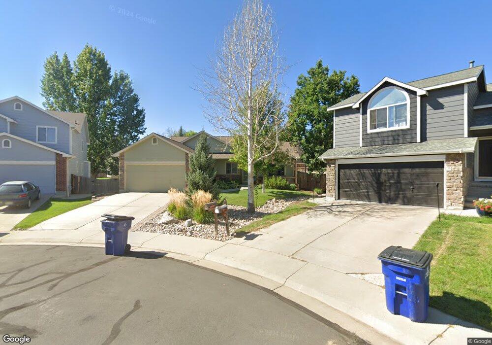
2038 W 135th Ct Denver, CO 80234
Quail Ridge-Adams NeighborhoodEstimated Value: $605,015 - $685,000
5
Beds
3
Baths
2,080
Sq Ft
$308/Sq Ft
Est. Value
About This Home
This home is located at 2038 W 135th Ct, Denver, CO 80234 and is currently estimated at $641,004, approximately $308 per square foot. 2038 W 135th Ct is a home located in Adams County with nearby schools including Arapahoe Ridge Elementary School, Silver Hills Middle School, and Legacy High School.
Ownership History
Date
Name
Owned For
Owner Type
Purchase Details
Closed on
May 2, 2003
Sold by
Powers Randy E and Powers Janey Y
Bought by
Powers Randall E and Powers Janey Y
Current Estimated Value
Purchase Details
Closed on
Jul 21, 1995
Sold by
Melody Homes Inc
Bought by
Powers Randall E and Powers Janey Y
Home Financials for this Owner
Home Financials are based on the most recent Mortgage that was taken out on this home.
Original Mortgage
$148,900
Interest Rate
7.49%
Create a Home Valuation Report for This Property
The Home Valuation Report is an in-depth analysis detailing your home's value as well as a comparison with similar homes in the area
Home Values in the Area
Average Home Value in this Area
Purchase History
| Date | Buyer | Sale Price | Title Company |
|---|---|---|---|
| Powers Randall E | -- | Title America | |
| Powers Randy E | -- | Title America | |
| Powers Randall E | $165,487 | Land Title |
Source: Public Records
Mortgage History
| Date | Status | Borrower | Loan Amount |
|---|---|---|---|
| Closed | Powers Randall E | $148,900 |
Source: Public Records
Tax History
| Year | Tax Paid | Tax Assessment Tax Assessment Total Assessment is a certain percentage of the fair market value that is determined by local assessors to be the total taxable value of land and additions on the property. | Land | Improvement |
|---|---|---|---|---|
| 2025 | $3,572 | $43,860 | $6,800 | $37,060 |
| 2024 | $3,572 | $40,310 | $6,250 | $34,060 |
| 2023 | $3,535 | $46,820 | $6,430 | $40,390 |
| 2022 | $2,764 | $33,280 | $6,600 | $26,680 |
| 2021 | $2,854 | $33,280 | $6,600 | $26,680 |
| 2020 | $2,658 | $32,150 | $6,790 | $25,360 |
| 2019 | $2,664 | $32,150 | $6,790 | $25,360 |
| 2018 | $2,225 | $27,460 | $6,550 | $20,910 |
| 2017 | $2,014 | $27,460 | $6,550 | $20,910 |
| 2016 | $1,625 | $23,850 | $4,060 | $19,790 |
| 2015 | $1,622 | $15,890 | $2,700 | $13,190 |
| 2014 | $1,601 | $15,220 | $2,300 | $12,920 |
Source: Public Records
Map
Nearby Homes
- 13564 Wyandot St
- 13409 Raritan St
- 2512 W 133rd Cir
- 13735 Shoshone Ln
- 13764 Shoshone Ln
- 13146 Raritan Ct
- 3150 W 134th Ave
- 1494 W 132nd Place
- 13900 Lake Song Ln Unit B6
- 13900 Lake Song Ln Unit B2
- 1421 W 132nd Place
- 1404 W 132nd Place
- 1872 W 130th Dr
- 3134 W 135th Ave
- 3135 W 134th Ct
- 13616 Plaster Cir
- 13837 Lexington Place
- 860 W 132nd Ave Unit 14
- 860 W 132nd Ave Unit 220
- 860 W 132nd Ave Unit 235
- 2028 W 135th Ct
- 2037 W 135th Ct
- 13548 Vallejo St
- 13538 Vallejo St
- 13552 Vallejo St
- 13528 Vallejo St
- 2018 W 135th Ct
- 2027 W 135th Ct
- 2105 W 135th Ave
- 13558 Vallejo St
- 2045 W 135th Ave
- 2008 W 135th Ct
- 13518 Vallejo St
- 2017 W 135th Ct
- 2035 W 135th Ave
- 13562 Vallejo St
- 13513 Tejon St
- 13549 Vallejo St
- 13539 Vallejo St
- 13564 Vallejo St
Your Personal Tour Guide
Ask me questions while you tour the home.