2039 Mayfield Rd Ruffin, NC 27326
Estimated Value: $124,675 - $229,000
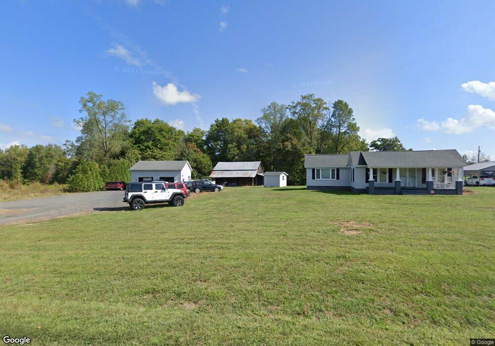
About This Home
This home is located at 2039 Mayfield Rd, Ruffin, NC 27326 and is currently estimated at $189,169, approximately $144 per square foot. 2039 Mayfield Rd is a home located in Rockingham County with nearby schools including Lincoln Elementary School, Rockingham County Middle School, and Rockingham County High School.
Ownership History
We collect this data history from publicly available records. To have your information removed, we recommend requesting removal directly through your county’s website.
Purchase Details
Home Financials for this Owner
Home Financials are based on the most recent Mortgage that was taken out on this home.Purchase History
We collect this data history from publicly available records. To have your information removed, we recommend requesting removal directly through your county’s website.
| Date | Buyer | Sale Price | Title Company |
|---|---|---|---|
| -- | None Available |
Mortgage History
We collect this data history from publicly available records. To have your information removed, we recommend requesting removal directly through your county’s website.
| Date | Status | Borrower | Loan Amount |
|---|---|---|---|
| Closed | $46,000 |
Tax History
We collect this data history from publicly available records. To have your information removed, we recommend requesting removal directly through your county’s website.
| Year | Tax Paid | Tax Assessment Tax Assessment Total Assessment is a certain percentage of the fair market value that is determined by local assessors to be the total taxable value of land and additions on the property. | Land | Improvement |
|---|---|---|---|---|
| 2025 | $731 | $108,653 | $10,216 | $98,437 |
| 2024 | $731 | $108,653 | $10,216 | $98,437 |
| 2023 | $731 | $65,034 | $9,288 | $55,746 |
| 2022 | $557 | $65,034 | $9,288 | $55,746 |
| 2021 | $537 | $65,034 | $9,288 | $55,746 |
| 2020 | $562 | $65,034 | $9,288 | $55,746 |
| 2019 | $562 | $65,034 | $9,288 | $55,746 |
| 2018 | $635 | $70,500 | $19,072 | $51,428 |
| 2017 | $643 | $70,500 | $19,072 | $51,428 |
| 2015 | $592 | $69,186 | $19,072 | $50,114 |
Map
- 219 Lillard Rd
- 9661 Nc Highway 700
- 00 Bluestone Rd
- 690 Goose Pond Rd
- 1565 Gravel Hill Rd
- 292 Chandler Mill Rd
- 9661 N Carolina 700
- 301 Pryor Rd
- 979 Perkinson Rd
- 830 Worsham Mill Rd
- 7160 Nc Highway 700
- 500 Stephens Rd
- 9669 US Highway 29 Bus
- 212 Lakeview Dr
- 00 W US Highway 158
- 2183 Lick Fork Creek Rd
- 00 Mount View Dr
- 1289 Buford Rd
- 00 Goodman Rd
- 7.37 AC Berry Hill Rd
- 2093 Mayfield Rd
- 2013 Mayfield Rd
- 2134 Mayfield Rd
- 2170 Mayfield Rd
- 2231 Mayfield Rd
- 1908 Mayfield Rd
- 110 Davis Rd
- 220 Davis Rd
- 135 Davis Rd
- 261 Davis Rd
- 230 Dibrell Rd
- 150 Bark Rd
- 9228 Nc Highway 700
- 201 Bark Rd
- 215 Bark Rd
- 332 Dibrell Rd
- 348 Dibrell Rd
- 384 Dibrell Rd
- 349 Dibrell Rd
- 9180 Nc Highway 700
Ask me questions while you tour the home.