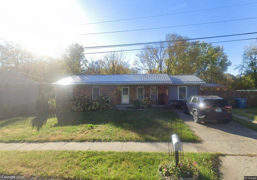
204 Brookside Dr Georgetown, KY 40324
South Scott County NeighborhoodEstimated Value: $258,000 - $280,049
About This Home
This home is located at 204 Brookside Dr, Georgetown, KY 40324 and is currently estimated at $270,762, approximately $181 per square foot. 204 Brookside Dr is a home located in Scott County with nearby schools including Southern Elementary School, Georgetown Middle School, and Scott County High School.
Ownership History
We collect this data history from publicly available records. To have your information removed, we recommend requesting removal directly through your county’s website.
Purchase Details
Purchase Details
Home Financials for this Owner
Home Financials are based on the most recent Mortgage that was taken out on this home.Home Values in the Area
Average Home Value in this Area
Purchase History
We collect this data history from publicly available records. To have your information removed, we recommend requesting removal directly through your county’s website.
| Date | Buyer | Sale Price | Title Company |
|---|---|---|---|
| -- | Attorney | ||
| $117,500 | None Available |
Mortgage History
We collect this data history from publicly available records. To have your information removed, we recommend requesting removal directly through your county’s website.
| Date | Status | Borrower | Loan Amount |
|---|---|---|---|
| Closed | $93,600 |
Tax History
We collect this data history from publicly available records. To have your information removed, we recommend requesting removal directly through your county’s website.
| Year | Tax Paid | Tax Assessment Tax Assessment Total Assessment is a certain percentage of the fair market value that is determined by local assessors to be the total taxable value of land and additions on the property. | Land | Improvement |
|---|---|---|---|---|
| 2025 | $2,082 | $233,800 | $0 | $0 |
| 2024 | $2,015 | $224,100 | $0 | $0 |
| 2023 | $1,941 | $214,100 | $30,000 | $184,100 |
| 2022 | $1,395 | $164,100 | $15,000 | $149,100 |
| 2021 | $1,391 | $147,700 | $15,000 | $132,700 |
| 2020 | $1,173 | $136,500 | $15,000 | $121,500 |
| 2019 | $1,139 | $130,500 | $0 | $0 |
| 2018 | $1,071 | $123,400 | $0 | $0 |
| 2017 | $1,076 | $123,400 | $0 | $0 |
| 2016 | $994 | $123,400 | $0 | $0 |
| 2015 | $940 | $117,500 | $0 | $0 |
| 2014 | $974 | $117,500 | $0 | $0 |
| 2011 | $73 | $117,500 | $0 | $0 |
Map
- 115 Josie Trail
- 106 Chloe Ct Unit 2
- 107 Hillside Dr
- 102 Hansons Path
- 402 Hiawatha Trail
- 208 Montgomery Ave
- 151 Evergreen Path
- 250 Ransom Trace
- 216 Redding Rd
- 112 Redding Lake Cir
- 217 Redding Rd
- 119 McClelland Springs Dr
- 126 Autumn Leaf Path
- 124 Copper Kettle Path
- 1117 Pawnee Trail
- 132 Kirkstall Way
- 127B Lytle Way
- 216 Ransom Trace
- 113 Emerson Trail
- 142 Irving Ln Unit 3D
- 206216 Brookside Dr
- 208 Brookside Dr
- 200 Brookside Dr
- 601 Lloyd Ct
- 206-212 Brookside Dr
- 206 Brookside Dr Unit 212
- 213 Brookside Dr
- 209 Brookside Dr
- 211 Brookside Dr
- 207 Brookside Dr
- 205 Brookside Dr
- 215 Brookside Dr Unit 217
- 603 Lloyd Ct
- 196 Brookside Dr
- 602 Lloyd Ct
- 214-216 Brookside Dr
- 105 Foley Ct Unit 107
- 214 Brookside Dr Unit 216
- 148 Hillside Dr
- 123 Hillside Dr
Ask me questions while you tour the home.