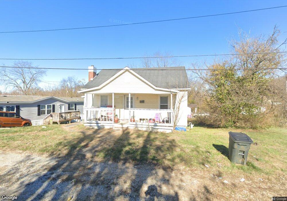
204 Ridgeway St Coal Grove, OH 45638
Estimated Value: $48,000 - $103,000
2
Beds
1
Bath
728
Sq Ft
$95/Sq Ft
Est. Value
About This Home
This home is located at 204 Ridgeway St, Coal Grove, OH 45638 and is currently estimated at $69,197, approximately $95 per square foot. 204 Ridgeway St is a home located in Lawrence County with nearby schools including Dawson-Bryant Elementary School, Dawson-Bryant Middle School, and Dawson-Bryant High School.
Ownership History
Date
Name
Owned For
Owner Type
Purchase Details
Closed on
Apr 16, 2021
Sold by
Vickers Darryl
Bought by
Vickers Kelsey
Current Estimated Value
Purchase Details
Closed on
Sep 23, 2008
Sold by
Brammer Thomas and Brammer Constance
Bought by
Thompson Donald R and Thompson Helen
Home Financials for this Owner
Home Financials are based on the most recent Mortgage that was taken out on this home.
Original Mortgage
$14,000
Interest Rate
7%
Mortgage Type
Purchase Money Mortgage
Purchase Details
Closed on
Jul 24, 1992
Sold by
Tasker William Roy and Tasker Mic
Bought by
Brammer Thomas and Brammer Constan
Create a Home Valuation Report for This Property
The Home Valuation Report is an in-depth analysis detailing your home's value as well as a comparison with similar homes in the area
Home Values in the Area
Average Home Value in this Area
Purchase History
| Date | Buyer | Sale Price | Title Company |
|---|---|---|---|
| Vickers Kelsey | -- | None Available | |
| Thompson Donald R | $20,000 | Attorney | |
| Brammer Thomas | $15,000 | -- |
Source: Public Records
Mortgage History
| Date | Status | Borrower | Loan Amount |
|---|---|---|---|
| Closed | Thompson Donald R | $14,000 |
Source: Public Records
Tax History
| Year | Tax Paid | Tax Assessment Tax Assessment Total Assessment is a certain percentage of the fair market value that is determined by local assessors to be the total taxable value of land and additions on the property. | Land | Improvement |
|---|---|---|---|---|
| 2025 | $575 | $19,016 | $2,744 | $16,272 |
| 2024 | -- | $18,770 | $2,500 | $16,270 |
| 2023 | -- | $18,770 | $2,500 | $16,270 |
| 2022 | $573 | $18,770 | $2,500 | $16,270 |
| 2021 | $482 | $15,830 | $2,320 | $13,510 |
| 2020 | $498 | $15,830 | $2,320 | $13,510 |
| 2019 | $496 | $15,830 | $2,320 | $13,510 |
| 2018 | $502 | $15,830 | $2,320 | $13,510 |
| 2017 | $501 | $15,830 | $2,320 | $13,510 |
| 2016 | $464 | $15,830 | $2,320 | $13,510 |
| 2015 | $351 | $11,010 | $2,320 | $8,690 |
| 2014 | $325 | $11,010 | $2,320 | $8,690 |
| 2013 | $324 | $11,010 | $2,320 | $8,690 |
Source: Public Records
Map
Nearby Homes
- 805 1/2 High St
- 222 Saint Charles St
- 519 Lane St
- 514 Lane St
- 303 Pike St
- 105 Compliment St
- 103 Carrico Dr
- 0 Central & Mlk
- 1003 Marion Pike
- 508 16th St
- 1400 Montgomery Ave
- 1824 Carter Ave
- 0 18th Street & Central Ave
- 0 Carter Ave
- 0 Central Ave
- 000 Chestnut Hill Dr
- 601 Pollard Rd
- 1100 Price St
- 0 Pollard Rd
- 37 Township Road 268
Your Personal Tour Guide
Ask me questions while you tour the home.