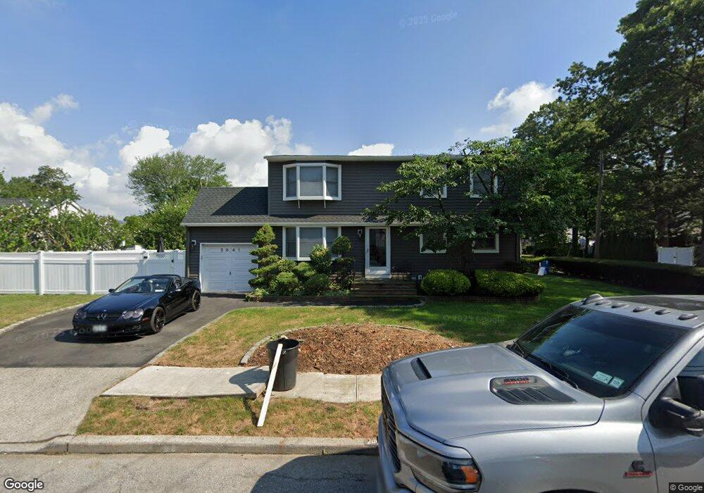
2041 Decker Ave Merrick, NY 11566
Estimated Value: $876,566 - $931,000
4
Beds
3
Baths
1,750
Sq Ft
$516/Sq Ft
Est. Value
About This Home
This home is located at 2041 Decker Ave, Merrick, NY 11566 and is currently estimated at $903,783, approximately $516 per square foot. 2041 Decker Ave is a home located in Nassau County with nearby schools including Merrick Avenue Middle School, Sanford H Calhoun High School, and Sacred Heart School.
Ownership History
Date
Name
Owned For
Owner Type
Purchase Details
Closed on
Apr 13, 2021
Sold by
Siegel Jeffrey and Siegel Laura
Bought by
Coppola Adrian F and Coppola Nicole M
Current Estimated Value
Home Financials for this Owner
Home Financials are based on the most recent Mortgage that was taken out on this home.
Original Mortgage
$508,000
Outstanding Balance
$457,667
Interest Rate
3%
Mortgage Type
New Conventional
Estimated Equity
$446,116
Create a Home Valuation Report for This Property
The Home Valuation Report is an in-depth analysis detailing your home's value as well as a comparison with similar homes in the area
Home Values in the Area
Average Home Value in this Area
Purchase History
| Date | Buyer | Sale Price | Title Company |
|---|---|---|---|
| Coppola Adrian F | $635,000 | Judicial Title | |
| Coppola Adrian F | $635,000 | Judicial Title | |
| Coppola Adrian F | $635,000 | Judicial Title |
Source: Public Records
Mortgage History
| Date | Status | Borrower | Loan Amount |
|---|---|---|---|
| Open | Coppola Adrian F | $508,000 | |
| Closed | Coppola Adrian F | $508,000 |
Source: Public Records
Tax History
| Year | Tax Paid | Tax Assessment Tax Assessment Total Assessment is a certain percentage of the fair market value that is determined by local assessors to be the total taxable value of land and additions on the property. | Land | Improvement |
|---|---|---|---|---|
| 2025 | $15,494 | $535 | $185 | $350 |
| 2024 | $3,641 | $508 | $175 | $333 |
Source: Public Records
Map
Nearby Homes
- 2016 Abbot Ave
- 1531 Merrick Ave
- 165 Little Whaleneck Rd
- 1680 Lake Ave
- 116 Winifred Dr
- 1563 Stevens Ave
- 1715 Remson Ave
- 2 Garfield St
- 45 Richard Ave
- 57 Maeder Ave
- 204 Maeder Ave
- 2263 Cameron Ave
- 1526 Rhode Ave
- 1415 Rhode Ave
- 1826 Camp Ave
- 1844 Old Mill Rd
- 1871 Relyea Dr
- 132 Webster St
- 526 Park Ave
- 1750 Henry Rd
- 1534 Clark St
- 2027 Decker Ave
- 2049 Decker Ave
- 2038 Decker Ave
- 2044 Decker Ave
- 2028 Decker Ave
- 2040 Potter Ave
- 2048 Decker Ave
- 2032 Potter Ave
- 129 Potter Ave
- 2021 Decker Ave
- 2052 Decker Ave
- 2057 Decker Ave
- 107 Clark St
- 2054 Potter Ave
- 2014 Potter Ave
- 2008 Potter Ave
- 2058 Decker Ave
- 2012 Potter Ave
- 2015 Decker Ave
Your Personal Tour Guide
Ask me questions while you tour the home.