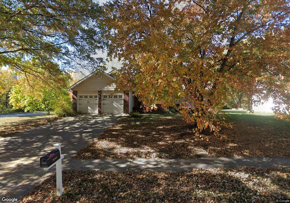
2044 Clay Dr Liberty, MO 64068
Estimated Value: $313,000 - $377,000
3
Beds
2
Baths
1,640
Sq Ft
$208/Sq Ft
Est. Value
About This Home
This home is located at 2044 Clay Dr, Liberty, MO 64068 and is currently estimated at $341,129, approximately $208 per square foot. 2044 Clay Dr is a home located in Clay County with nearby schools including Alexander Doniphan Elementary School, Discovery Middle School, and Liberty High School.
Ownership History
Date
Name
Owned For
Owner Type
Purchase Details
Closed on
Aug 29, 2019
Sold by
Bagnall Nancy J
Bought by
Neth Kristine M
Current Estimated Value
Home Financials for this Owner
Home Financials are based on the most recent Mortgage that was taken out on this home.
Original Mortgage
$127,500
Outstanding Balance
$112,134
Interest Rate
3.8%
Mortgage Type
New Conventional
Estimated Equity
$228,995
Create a Home Valuation Report for This Property
The Home Valuation Report is an in-depth analysis detailing your home's value as well as a comparison with similar homes in the area
Home Values in the Area
Average Home Value in this Area
Purchase History
We collect this data history from publicly available records. To have your information removed, we recommend requesting removal directly through your county’s website.
| Date | Buyer | Sale Price | Title Company |
|---|---|---|---|
| Neth Kristine M | -- | Thomson Affinity Title Llc |
Source: Public Records
Mortgage History
We collect this data history from publicly available records. To have your information removed, we recommend requesting removal directly through your county’s website.
| Date | Status | Borrower | Loan Amount |
|---|---|---|---|
| Open | Neth Kristine M | $127,500 |
Source: Public Records
Tax History
| Year | Tax Paid | Tax Assessment Tax Assessment Total Assessment is a certain percentage of the fair market value that is determined by local assessors to be the total taxable value of land and additions on the property. | Land | Improvement |
|---|---|---|---|---|
| 2025 | $3,349 | $50,050 | -- | -- |
| 2024 | $3,349 | $43,550 | -- | -- |
| 2023 | $3,406 | $43,550 | $0 | $0 |
| 2022 | $3,096 | $39,080 | $0 | $0 |
| 2021 | $3,072 | $39,083 | $7,220 | $31,863 |
| 2020 | $2,891 | $34,540 | $0 | $0 |
| 2019 | $2,890 | $34,540 | $0 | $0 |
| 2018 | $2,525 | $29,620 | $0 | $0 |
| 2017 | $2,524 | $29,620 | $4,180 | $25,440 |
| 2016 | $2,501 | $29,620 | $4,180 | $25,440 |
| 2015 | $2,502 | $29,620 | $4,180 | $25,440 |
| 2014 | $2,465 | $28,960 | $4,750 | $24,210 |
Source: Public Records
Map
Nearby Homes
- 807 Melrose St
- 1500 Amesbury Ave
- 1712 Welleslay Ln
- 441 Wilshire Blvd
- 401 Smiley Rd
- Lot 2 Bent Oaks Dr
- Lot 2A Oak Crest Dr
- 2133 Winding Woods Dr
- 1617 Welleslay Ln
- 1605 High Dr
- 1561 Parkside Dr
- 1550 Dover Ct
- 1306 Downing St
- 1830 Parkside Dr
- 1452 Park Ln
- 8820 Timber Creek Ln
- 8813 North Rd
- 1768 Homestead Dr
- 7408 N Lane Ave
- 8808 Orchard St
- 2040 Clay Dr
- 2036 Clay Dr
- 2043 Clay Dr
- 2037 Clay Dr
- 2032 Clay Dr
- 2033 Clay Dr
- 2005 Liberty Dr
- 1736 Bluebell Ave
- 1730 Bluebell Ave
- 2027 Clay Dr
- 2028 Clay Dr
- 1726 Bluebell Ave
- 2003 Liberty Dr
- 1720 Bluebell Ave
- 2005 Clay Cir
- 2024 Clay Dr
- 1714 Bluebell Ave
- 1737 Bluebell Ave
- 1731 Bluebell Ave
- 1725 Bluebell Ave
Your Personal Tour Guide
Ask me questions while you tour the home.